Vienna in Maries County, Missouri — The American Midwest (Upper Plains)
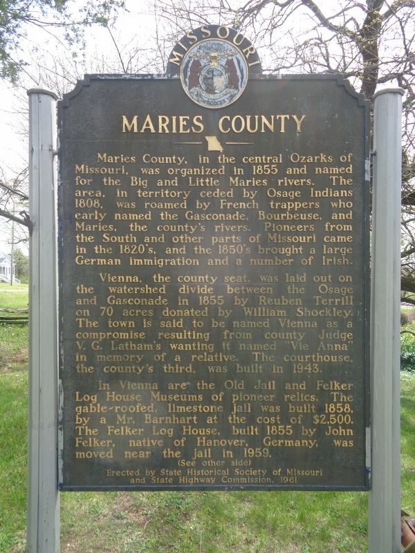
Maries County
Vienna, the county seat, was laid out on the watershed divide between the Osage and Gasconade in 1855 by Reuben Terrill on 70 acres donated by William Shockley. The town is said to be named Vienna as a compromise resulting from county Judge V.G. Latham's wanting it named "Vie Anna" in memory of a relative. The courthouse, the county's third, was built in 1943.
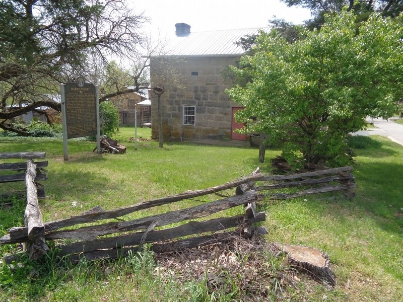
In Vienna are the Old Jail and Felker Log House Museums of pioneer relics. The gable-roofed, limestone jail was built 1858, by a Mr. Barnhart at the cost of $2,500. The Felker Log House, built 1855 by John Felker, native of Hanover, Germany, was moved near the jail in 1959.
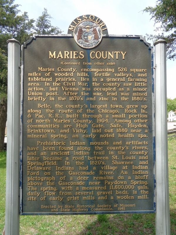
Maries County, encompassing 526 square miles of wooded hills, fertile valleys, and tableland prairies, lies in a general farming area. In the Civil War, the county saw little action, but Vienna was occupied as a minor Union post. After the war, lead was mined briefly in the 1870's and zinc in the 1880's.
Belle, the county's largest town, grew up along the route of the Chicago, Rock Is., & Pac. R.R., built through a small portion of north Maries County, 1904. Among other communities are High Gate, Safe, Hayden, Brinktown, and Vichy, laid out 1880 near a mineral spring, an early noted health spa.
Prehistoric Indian mounds and artifacts have been found along the county's rivers, and an ancient Indian trail in the county later became a road between St. Louis and Springfield. In the 1820's, Shawnee and Delaware Indians had a village at Indian Ford on the Gasconade River. An Indian pictograph of a deer remains on a bluff above the Gasconade near Paydown Spring. The spring, with a measured 11,600,000 gals. daily flow from several gravel beds, is the site of early grist mills and a woolen mill.
Erected 1961 by State Historical Society of Missouri and State Highway Commission.
Topics and series. This historical marker is listed in these topic lists: Native Americans • Railroads & Streetcars • Settlements & Settlers • Waterways & Vessels. In addition, it is included in the Missouri, The State Historical Society of series list. A significant historical year for this entry is 1855.
Location. 38° 11.17′ N, 91° 56.754′ W. Marker is in Vienna, Missouri, in Maries County. Marker is at the intersection of 5th Street (State Highway 42) and North Mill Street, on the right when traveling east on 5th Street. Marker is in front of the Historic Jail. Touch for map. Marker is at or near this postal address: 133 5th St, Vienna MO 65582, United States of America. Touch for directions.
Other nearby markers. At least 3 other markers are within walking distance of this marker. Vietnam War Memorial (about 400 feet away, measured in a direct line); World War I Memorial (about 400 feet away); World War II Memorial (about 400 feet away).
Also see . . . Maries County, Missouri on Wikipedia. "Maries" is derived from the French word "marais", meaning marsh, lake and pond. (Submitted on April 26, 2021, by Jason Voigt of Glen Carbon, Illinois.)
Credits. This page was last revised on April 26, 2021. It was originally submitted on April 26, 2021, by Jason Voigt of Glen Carbon, Illinois. This page has been viewed 442 times since then and 77 times this year. Photos: 1, 2, 3. submitted on April 26, 2021, by Jason Voigt of Glen Carbon, Illinois.


