Riverview in Tulsa in Tulsa County, Oklahoma — The American South (West South Central)
Cyrus Avery Route 66 Memorial Bridge
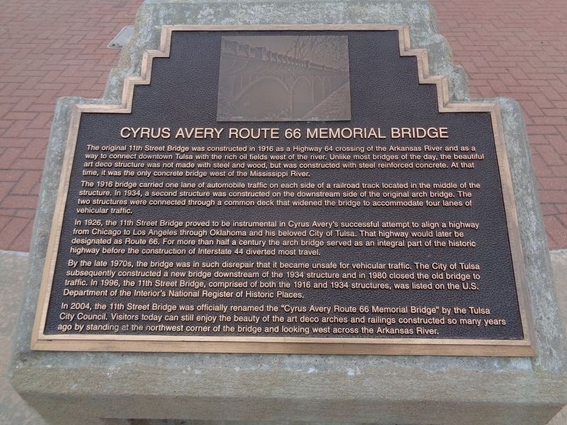
The 1916 bridge carried one lane of automobile traffic on each side of a railroad track located in the middle of the structure. In 1934, a second structure was constructed on the downstream side of the original arch bridge. The two structures were connected through a common deck that widened the bridge to accommodate four lanes of vehicular traffic.
In 1926, the 11th Street Bridge proved to be instrumental in Cyrus Avery's successful attempt to align a highway from Chicago to Los Angeles through Oklahoma and his beloved city of Tulsa. That highway would later be designated as Route 66. For more than half a century the arch bridge served as an integral part of the historic highway before the construction of Interstate 44 diverted most travel.
By the late 1970s, the bridge was in such disrepair that it became unsafe for vehicular traffic. The City of Tulsa subsequently constructed a new bridge downstream of the 1934 structure and in 1980 closed the old bridge to traffic. In 1996, the 11th Street Bridge, comprised of both the 1916 and 1934 structures, was listed on the U.S. Department of the Interior's National Register of Historic Places.
In 2004, the 11th Street Bridge was officially renamed the "Cyrus Avery Route 66 Memorial Bridge" by the Tulsa City Council. Visitors today can still enjoy the beauty of the art deco arches and railings constructed so many years ago by standing at the northwest corner of the bridge and looking west across the Arkansas River.
Erected by Vision 2025.
Topics and series. This historical marker is listed in these topic lists: Bridges & Viaducts • Roads & Vehicles. In addition, it is included in the U.S. Route 66 series list. A significant historical year for this entry is 1916.
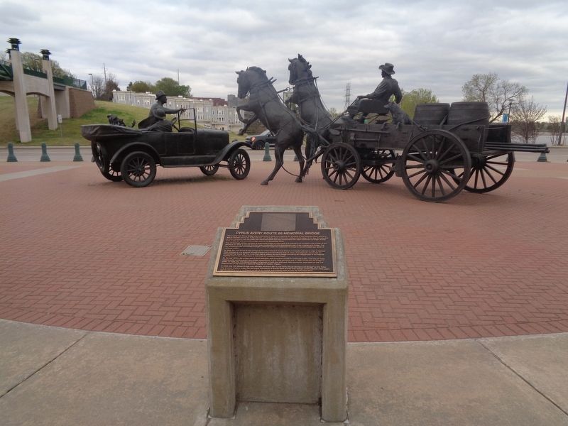
Location. 36° 8.677′ N, 96° 0.189′ W. Marker is in Tulsa, Oklahoma, in Tulsa County. It is in Riverview. Marker is at the intersection of Old U.S. 66 and Riverside Drive, on the right when traveling west on U.S. 66. Marker is located at Cyrus Avery Centennial Plaza, behind the East Meets West sculpture. Touch for map. Marker is at or near this postal address: 1300 US Rte 66, Tulsa OK 74127, United States of America. Touch for directions.
Other nearby markers. At least 8 other markers are within walking distance of this marker. The Bridge Builder (here, next to this marker); Cyrus Stevens Avery (here, next to this marker); "East Meets West" (here, next to this marker); Tulsa's 11th Street Bridge (within shouting distance of this marker); a different marker also named Tulsa's 11th Street Bridge (about 300 feet away, measured in a direct line); The Bridge that Saved Tulsa (about 300 feet away); Oil Capital Motel (approx. 0.3 miles away); Will Rogers Motor Court (approx. 0.3 miles away). Touch for a list and map of all markers in Tulsa.

Photographed By Jason Voigt, April 7, 2021
3. Cyrus Avery Route 66 Memorial Bridge Marker
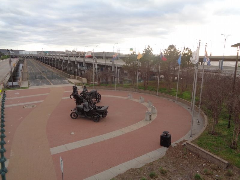
View from the pedestrian bridge, looking over Cyrus Avery Centennial Plaza. The bridge can be seen in the background (behind the gates). Marker is second from the right. All eight flags represent the states that Route 66 passed through.
Credits. This page was last revised on February 16, 2023. It was originally submitted on April 28, 2021, by Jason Voigt of Glen Carbon, Illinois. This page has been viewed 504 times since then and 81 times this year. Photos: 1, 2, 3. submitted on April 28, 2021, by Jason Voigt of Glen Carbon, Illinois.

