Central Oklahoma City in Oklahoma County, Oklahoma — The American South (West South Central)
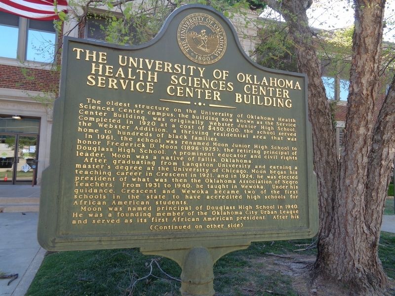
Service Center Building
The oldest structure on the University of Oklahoma Health Sciences Center campus, the building now known as the Service Center Building, was originally Webster Junior High School. Completed in 1920 at a cost of $450,000, the school served the Webster Addition, a thriving residential area hat was home to hundreds of black families.
In 1961, the school was renamed Moon Junior High School to honor Frederick D. Moon (1896-1975), the retiring principal of Douglass High School. A prominent educator and civil rights leader, Moon was a native of Fallis, Oklahoma.
After graduating from Langston University and earning a master's degree at the University of Chicago, Moon began his teaching career in Crescent in 1921, and in 1924, he was elected president of what was then the Oklahoma Association of Negro Teachers. From 1931 to 1940, he taught in Wewoka. Under his guidance, Crescent and Wewoka became two of the first schools in the state to have accredited high schools for African American students.
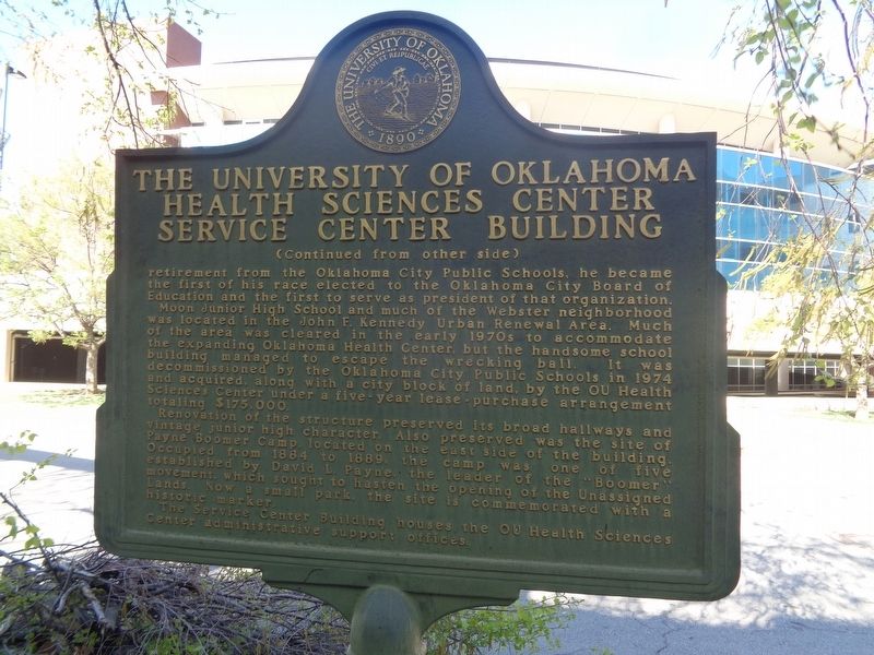
Moon was named principal of Douglass High School in 1940. He was a founding member of the Oklahoma City Urban League and served as its first African American president. After his retirement from the Oklahoma City Public Schools, he became the first of his race elected to the Oklahoma City Board of Education and the first to serve as president of that organization.
Moon Junior High School and much of the Webster neighborhood was located in the John F. Kennedy Urban Renewal Area. Much of the area was cleared in the early 1970s to accommodate building managed to escape the wrecking ball. It was decommissioned by the Oklahoma City Public Schools in 1974 and acquired, along with a city block of land, by the OU Health Sciences Center under a five-year lease-purchase arrangement totaling $175,000.
Renovation of the structure preserved its broad hallways and vintage junior high character. Also preserved was the site of Payne Boomer Camp, located on the east side of the building. Occupied from 1884 to 1889, the camp was one of five established by David L. Payne, the leader of the "Boomer" movement, which sought to hasten the opening of the Unassigned Lands. Now a small park, the site is commemorated with a historic marker.
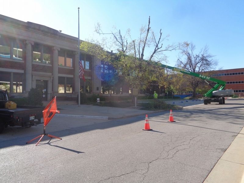
The Service Center Building houses the OU Health Sciences Center administrative support offices.
Erected by the University of Oklahoma.
Topics. This historical marker is listed in these topic lists: African Americans • Education • Science & Medicine. A significant historical year for this entry is 1920.
Location. 35° 28.784′ N, 97° 30.055′ W. Marker is in Oklahoma City, Oklahoma, in Oklahoma County. It is in Central Oklahoma City. Marker is on North Lindsay Avenue south of Stanton L Young Boulevard, on the left when traveling south. Marker is in front of the Service Center Building, which is on the campus of the University of Oklahoma Health Sciences Center. Touch for map. Marker is at or near this postal address: 1100 N Lindsay Ave, Oklahoma City OK 73104, United States of America. Touch for directions.
Other nearby markers. At least 8 other markers are within walking distance of this marker. Payne Boomer Campsite (about 500 feet away, measured in a direct line); Lloyd E. Rader Park (approx. 0.2 miles away); The Peggy and Charles Stephenson Oklahoma Cancer Center (approx. 0.2 miles away); OU College of Allied Health (approx. ¼ mile away); OU College of Public Health (approx. ¼ mile away); The Robert M. Bird Library and OU Graduate College (approx. 0.4 miles away); Stanton L. Young Walk (approx. 0.4 miles away); OU Health Sciences Center (approx. 0.4 miles away). Touch for a list and map of all markers in Oklahoma City.
Credits. This page was last revised on February 16, 2023. It was originally submitted on April 30, 2021, by Jason Voigt of Glen Carbon, Illinois. This page has been viewed 239 times since then and 22 times this year. Photos: 1, 2, 3. submitted on April 30, 2021, by Jason Voigt of Glen Carbon, Illinois.


