
Central Oklahoma City in Oklahoma County, Oklahoma — The American South (West South Central)
Payne Boomer Campsite
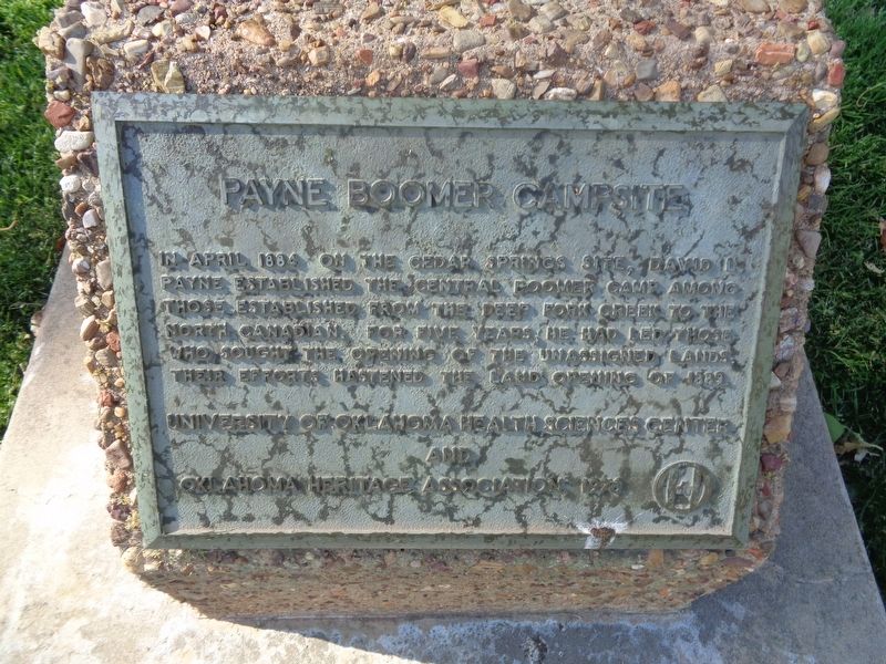
Photographed by Jason Voigt, April 10, 2021
1. Payne Boomer Campsite Marker
Erected 1976 by University of Oklahoma Health Sciences Center and Oklahoma Heritage Association.
Topics. This historical marker is listed in these topic lists: Settlements & Settlers • Waterways & Vessels. A significant historical month for this entry is April 1884.
Location. 35° 28.794′ N, 97° 29.961′ W. Marker is in Oklahoma City, Oklahoma, in Oklahoma County. It is in Central Oklahoma City. It is on Stanton L Young Boulevard west of North Phillips Avenue, on the right when traveling east. Marker is located in Sacred Valley Park, which is on the campus of the University of Oklahoma Health Sciences Center. Touch for map. Marker is at or near this postal address: 751 Stanton L Young Blvd, Oklahoma City OK 73104, United States of America. Touch for directions.

Regionally, this marker is in Central Oklahoma — Frontier Country. It
this page online
Other nearby markers. At least 8 other markers are within walking distance of this marker: Service Center Building (about 500 feet away, measured in a direct line); Lloyd E. Rader Park (about 600 feet away); The Peggy and Charles Stephenson Oklahoma Cancer Center (about 800 feet away); OU College of Allied Health (approx. 0.2 miles away); OU College of Public Health (approx. ¼ mile away); The Robert M. Bird Library and OU Graduate College (approx. 0.3 miles away); Stanton L. Young Walk (approx. 0.3 miles away); OU College of Dentistry (approx. 0.3 miles away). Touch for a list and map of all markers in Oklahoma City.
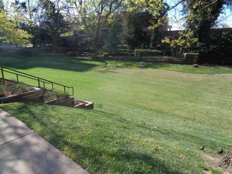
Photographed by Jason Voigt, April 10, 2021
2. Payne Boomer Campsite Marker
Looking south from Stanton L Young Boulevard. Marker is at Sacred Valley Park.
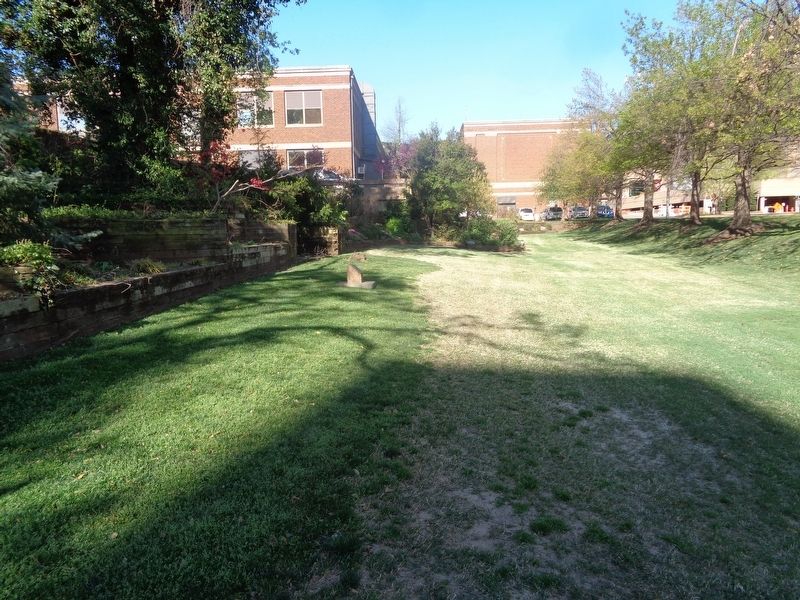
Photographed by Jason Voigt, April 10, 2021
3. Payne Boomer Campsite Marker
Looking west from North Phillips Avenue.
Credits. This page was last revised on February 16, 2023. It was originally submitted on April 30, 2021, by Jason Voigt of Glen Carbon, Illinois. This page has been viewed 388 times since then and 14 times this year. Photos: 1, 2, 3. submitted on April 30, 2021, by Jason Voigt of Glen Carbon, Illinois.
