Near Sturgis in Meade County, South Dakota — The American Midwest (Upper Plains)
Bear Butte
Photographed by Ruth VanSteenwyk, April 24, 2021
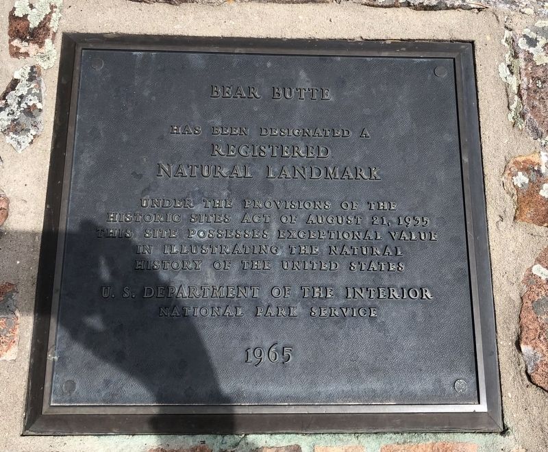
1. Bear Butte Marker
Registered
Natural Landmark
under the provisions of the
Historic Sites Act of August 21, 1935
this site possesses exceptional value
in illustrating the natural
history of the United States
Erected 1965 by U.S. Department of the Interior and the National Park Service.
Topics. This historical marker is listed in this topic list: Natural Features. A significant historical date for this entry is August 21, 1935.
Location. 44° 28.057′ N, 103° 25.26′ W. Marker is near Sturgis, South Dakota, in Meade County. It is on South Dakota Route 79. Located at the Bear Butte State Park near the Education Center. Bear Butte State Park is open year round. Touch for map. Marker is at or near this postal address: 20250 Hwy 79, Sturgis SD 57785, United States of America. Touch for directions.

Regionally, this marker is in West River and in Greater Rapid City. It is also in the American Lewis & Clark Corridor, on the prairies, and on the Northern Plains. Globally, it is in North America, the Western Hemisphere, the Western World, and the Anglosphere. Historically, it finds itself in what was once
this page online
Other nearby markers. At least 8 other markers are within 4 miles of this marker, measured as the crow flies: Sacred Mountain of the Plains Indians (here, next to this marker); a different marker also named Bear Butte (here, next to this marker); Lakota Holy Man, Visionary, Ambassador, Healer and Storyteller (here, next to this marker); Capt. William F. Raynolds (a few steps from this marker); Thomas E. Odell (a few steps from this marker); Dr. F. V. Hayden (a few steps from this marker); Camp J.G. Sturgis / Scooptown (approx. 2 miles away); a different marker also named Bear Butte (approx. 3.7 miles away). Touch for a list and map of all markers in Sturgis.
Also see . . . Bear Butte State Park. (Submitted on May 3, 2021, by Ruth VanSteenwyk of Aberdeen, South Dakota.)
Photographed by Ruth VanSteenwyk, April 24, 2021
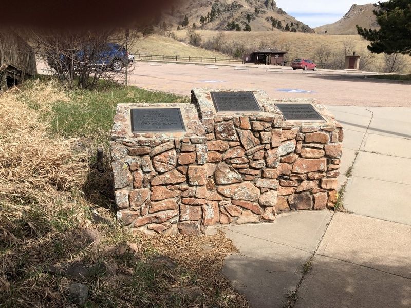
2. Bear Butte Marker
Photographed by Ruth VanSteenwyk, April 24, 2021
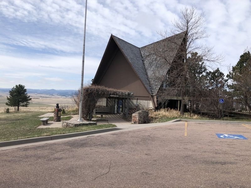
3. Bear Butte Marker
Credits. This page was last revised on May 4, 2021. It was originally submitted on May 3, 2021, by Ruth VanSteenwyk of Aberdeen, South Dakota. This page has been viewed 328 times since then and 36 times this year. Photos: 1, 2, 3. submitted on May 3, 2021, by Ruth VanSteenwyk of Aberdeen, South Dakota. • Mark Hilton was the editor who published this page.
