Greenville in Madison County, Florida — The American South (South Atlantic)
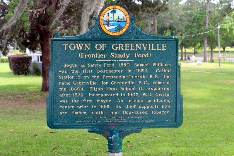
The Town of Greenville
(Frontier Sandy Ford)
Erected 1971 by The Town Council of Greenville In Cooperation With Department of State, Bureau of Historic Sites and Properties. (Marker Number F-183.)
Topics. This historical marker is listed in these topic lists: Agriculture • Settlements & Settlers. A significant historical year for this entry is 1850.
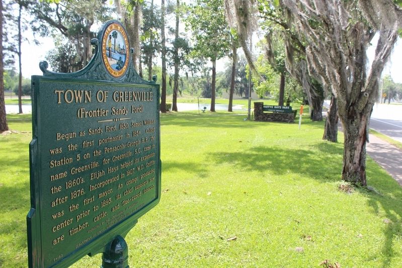
Location. 30° 28.185′ N, 83° 37.93′ W. Marker is in Greenville, Florida, in Madison County. Marker is at the intersection of U.S. 90 and Broad Street, on the right when traveling east on U.S. 90. Marker is located in Haffye Hays Park. Touch for map. Marker is in this post office area: Greenville FL 32331, United States of America. Touch for directions.
Other nearby markers. At least 8 other markers are within 13 miles of this marker, measured as the crow flies. Ray Charles Childhood Home (approx. half a mile away); Florida Honors and Remembers our POW’s and MIA’s (approx. 6.1 miles away); a different marker also named Florida Honors and Remembers our POW’s and MIA’s (approx. 6.3 miles away); John Hicks and Hickstown (approx. 7.9 miles away); Concord Missionary Baptist Church (approx. 11.3 miles away); Shiloh Methodist Church (approx. 11.9 miles away); Shady Grove Methodist Church (approx. 12.6 miles away); Lamont Community (approx. 12.6 miles away). Touch for a list and map of all markers in Greenville.
Also see . . . Greenville, FL. (Submitted on May 4, 2021, by Tim Fillmon of Webster, Florida.)
Credits. This page was last revised on May 4, 2021. It was originally submitted on May 4, 2021, by Tim Fillmon of Webster, Florida. This page has been viewed 237 times since then and 37 times this year. Photos: 1, 2. submitted on May 4, 2021, by Tim Fillmon of Webster, Florida.

