Near Pensacola Beach in Escambia County, Florida — The American South (South Atlantic)
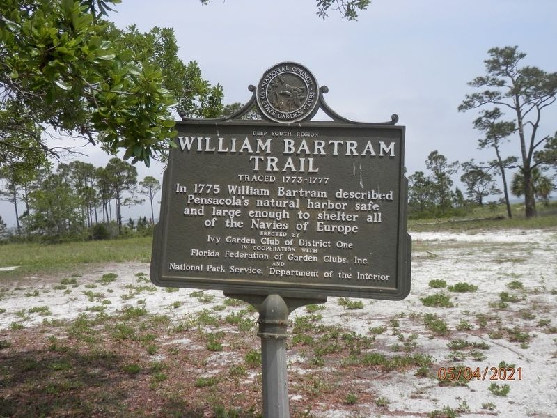
William Bartram Trail
Traced 1773-1777
— Deep South Region —
Inscription.
In 1775 William Bartram described Pensacola's natural harbor safe and large enough to shelter all of the Navies of Europe.
Erected by Ivy Garden Club of District One in cooperation with Florida Federation of Garden Clubs, Inc and National Park Service, Department of the Interior.
Topics. This historical marker is listed in these topic lists: Exploration • Waterways & Vessels. A significant historical year for this entry is 1773.
Location. 30° 19.495′ N, 87° 16.724′ W. Marker is near Pensacola Beach, Florida, in Escambia County. Marker can be reached from Fort Pickens Road north of Battery Cooper Loop Road, on the right when traveling west. Located at the north end of the Battery Worth parking lot in the Fort Pickens Area of Gulf Islands National Seashore. Touch for map. Marker is in this post office area: Gulf Breeze FL 32561, United States of America. Touch for directions.
Other nearby markers. At least 8 other markers are within walking distance of this marker. Battery Worth (about 400 feet away, measured in a direct line); Battery Cooper (approx. 0.3 miles away); Chasefield Plantation Cemetery (approx. 0.4 miles away); Battery 234 (approx. 0.4 miles away); Step Back in History (approx. 0.7 miles away); Deadly Explosion (approx. 0.7 miles away); Fort within a Fort (approx. 0.7 miles away); Converting a Cannon (approx. 0.7 miles away). Touch for a list and map of all markers in Pensacola Beach.
Also see . . . Fort Pickens Area - Gulf Islands National Seashore. National Park Service (Submitted on May 6, 2021.)
Credits. This page was last revised on June 4, 2021. It was originally submitted on May 5, 2021, by Susan Van Den Bosch of Genoa City, Wisconsin. This page has been viewed 156 times since then and 10 times this year. Photo 1. submitted on May 5, 2021, by Susan Van Den Bosch of Genoa City, Wisconsin. • Bernard Fisher was the editor who published this page.
