Franklin County Pioneers
1852
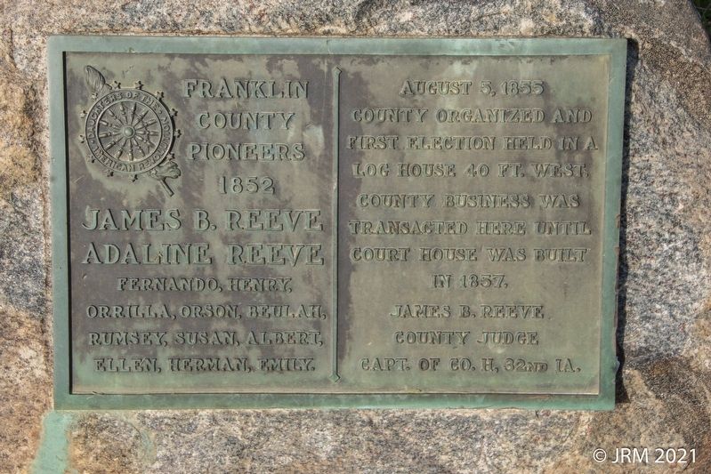
James B. Reeve
Adaline Reeve
Fernando, Henry, Orrilla, Orson, Beulah, Rumsey, Susan, Albert, Ellen, Herman, Emily.
August 5, 1855
County organized and first election held in a log house 40 ft. west. County business was transacted here until court house was built in 1857.
James B. Reeve
County Judge
Capt. of Co. H, 32nd IA.
Erected by Daughters of the American Revolution.
Topics and series. This historical marker is listed in these topic lists: Settlements & Settlers • War, US Civil. In addition, it is included in the Daughters of the American Revolution (DAR) series list. A significant historical year for this entry is 1852.
Location. 42° 40.774′ N, 93° 9.949′ W. Marker is near Geneva, Iowa, in Franklin County. It is at the intersection of Raven Avenue and 105th Street (County Highway C47), on the right when traveling north on Raven Avenue. Touch for map. Marker is in this post office area: Geneva IA 50633, United States of America. Touch for directions.
Regionally, this marker is in North Iowa. It is also in the American Midwest and in the Corn Belt. Globally, it is in North America, the Western
this page online
Other nearby markers. At least 8 other markers are within 12 miles of this marker, measured as the crow flies: The Old Stone House (a few steps from this marker); Power To The People (approx. 3½ miles away); Ackley, Iowa Veterans Memorial (approx. 10.3 miles away); Ackley Freedom Rock Veterans Memorial (approx. 10.3 miles away); Julia O'Neil Park (approx. 11.7 miles away); E. Olin Soule Tree and Plaque (approx. 11.8 miles away); Railroad Car (approx. 11.9 miles away); Original Site of Ellsworth Municipal Hospital (approx. 11.9 miles away).
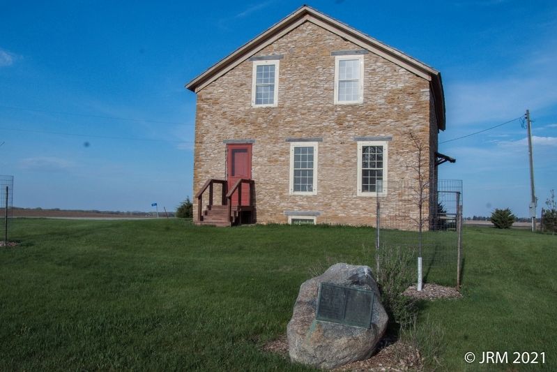
More about this marker. Located on the western side of the lot of the Leander Reeve House.
Credits. This page was last revised on May 6, 2021. It was originally submitted on May 5, 2021, by Lugnuts of Germantown, Wisconsin. This page has been viewed 300 times since then and 64 times this year. Photos: 1, 2. submitted on May 5, 2021, by Lugnuts of Germantown, Wisconsin. • Bernard Fisher was the editor who published this page.
