Traxler in Alachua County, Florida — The American South (South Atlantic)
Springhill Methodist Church/Traxler, Fla.
Photographed by Tim Fillmon, May 5, 2021
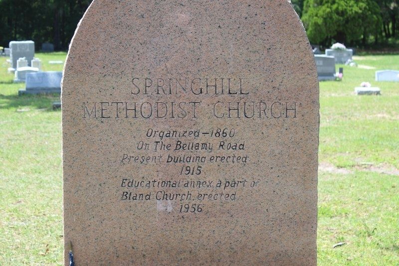
1. Springhill Methodist Church side of marker
Springhill Methodist Church
Organized-1860,
On the Bellamy Road
Present building erected,
1915
Educational annex a part of
Bland Church
1956
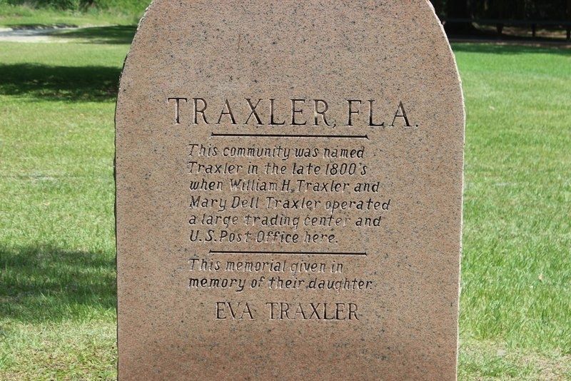
Traxler, Fla.
This community was named
Traxler in the late 1880's
when William H. Traxler operated
a large trading center and U.S. Post Office here.
This memorial given in memory of their daughter
Eva Traxler
Topics. This historical marker is listed in these topic lists: Cemeteries & Burial Sites • Religion & Religious Structures • Settlements & Settlers. A significant historical year for this entry is 1860.
Location. 29° 52.147′ N, 82° 32.302′ W. Marker is in Traxler, Florida, in Alachua County. It is on Old Bellamy Road 0.2 miles west of Northwest 173rd Road Street, on the left when traveling west. Touch for map. Marker is at or near this postal address: 23300 Old Bellamy Road, Alachua FL 32615, United States of America. Touch for directions.

Regionally, this marker is in North Florida. It is also in the American South. Globally, it is in the North Atlantic Region, North America, a Gulf of Mexico state, the Western Hemisphere, the Western World,
this page online
Other nearby markers. At least 8 other markers are within 4 miles of this marker, measured as the crow flies: Spring Hill United Methodist Church / Bellamy Road (here, next to this marker); William Henry Traxler (a few steps from this marker); 1824 - The Bellamy Road - 1952 (approx. half a mile away); Bland Community and Ogden School / Odgen School (approx. 3½ miles away); Town of Leno (approx. 4 miles away); Bellamy Road (approx. 4 miles away); Civilian Conservation Corps (approx. 4 miles away); "CCC Boy" Statue (approx. 4 miles away). Touch for a list and map of all markers in Traxler.
Photographed by Tim Fillmon, May 5, 2021
2. Traxler, Fla. side of marker
Photographed by Tim Fillmon, May 5, 2021
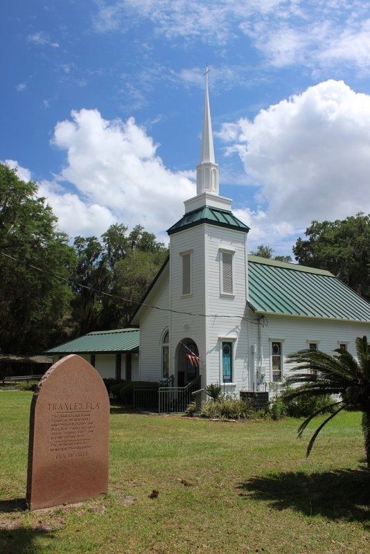
3. Springhill Methodist Church/Traxler, Fla. Marker with church in background
Photographed by Tim Fillmon, May 5, 2021
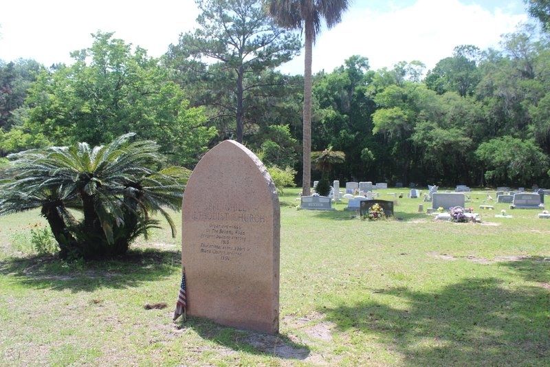
4. Springhill Methodist Church/Traxler, Fla. Marker with cemetery in background
Photographed by Tim Fillmon, May 5, 2021
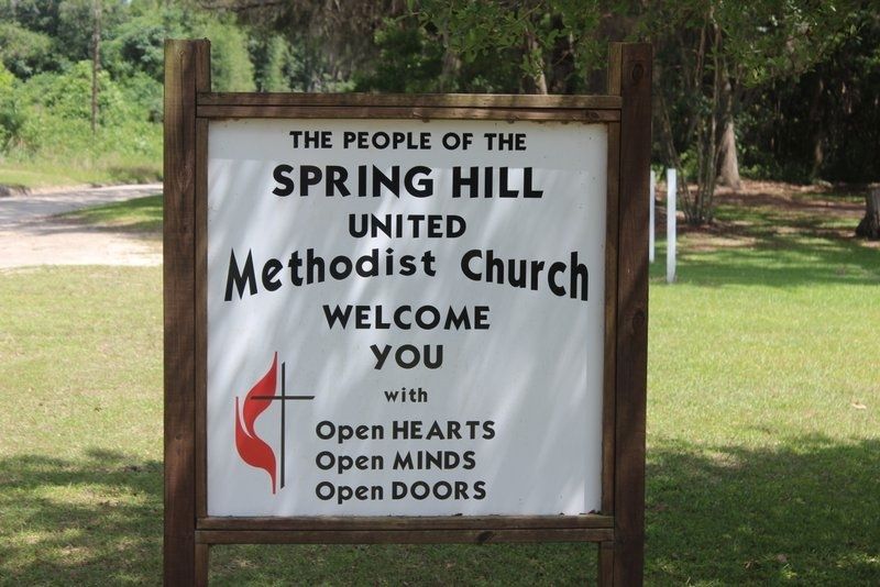
5. Springhill Methodist Church
Credits. This page was last revised on July 5, 2021. It was originally submitted on May 6, 2021, by Tim Fillmon of Webster, Florida. This page has been viewed 928 times since then and 81 times this year. Photos: 1, 2, 3, 4, 5. submitted on May 6, 2021, by Tim Fillmon of Webster, Florida.
