Central Oklahoma City in Oklahoma County, Oklahoma — The American South (West South Central)
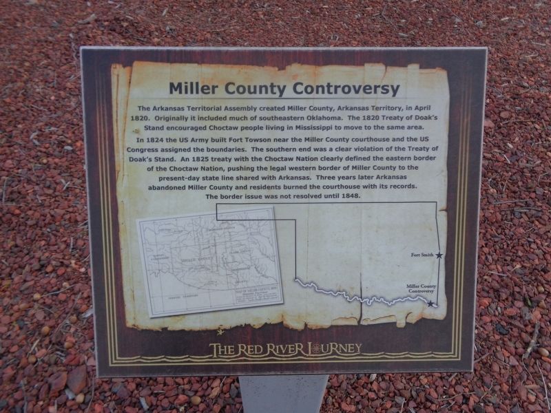
Miller County Controversy
The Red River Journey
Photographed by Jason Voigt, April 9, 2021
1. Miller County Controversy Marker
In 1824 the US Army built Fort Towson near the Miller County courthouse and the US Congress assigned the boundaries. The southern end was a clear violation of the Treaty of Doak's Stand. An 1825 treaty with the Choctaw Nation clearly defined the eastern border of the Choctaw Nation, pushing the legal western border of Miller County to the present-day state line shared with Arkansas. Three years later Arkansas abandoned Miller County and residents burned the courthouse with its records. The border issue was not resolved until 1848.
Topics. This historical marker is listed in these topic lists: Forts and Castles • Indigenous Peoples and Communities. A significant historical month for this entry is April 1820.
Location. 35° 29.618′ N, 97° 29.826′ W. Marker is in Oklahoma City, Oklahoma, in Oklahoma County. It is in Central Oklahoma City. It can be reached from Nazih Luhdi Drive
this page online

Regionally, this marker is in Central Oklahoma—Frontier Country. It is also in the American South, specifically on the prairies, and on the Southern Plains. Globally, it is in North America, the Western Hemisphere, the Western World, and the Anglosphere. Historically, it finds itself in what was once the territory of the Mississippian Culture and also the Louisiana Purchase.
Other nearby markers. At least 8 other markers are within walking distance of this marker: Fort Towson (here, next to this marker); Steamboat Heroine (here, next to this marker); Kiamichi River (here, next to this marker); a different marker also named Fort Towson (here, next to this marker); Jones Plantation (here, next to this marker); Alikchi Court Grounds (a few steps from this marker); Expedition of Bernard de la Harpe (a few steps from this marker); The Great Raft
Photographed by Jason Voigt, April 9, 2021
2. Miller County Controversy Marker
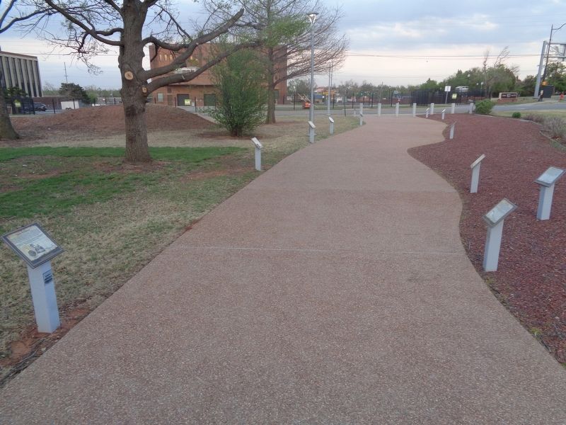
Marker is the farthest on the right.
Credits. This page was last revised on February 16, 2023. It was originally submitted on May 8, 2021, by Jason Voigt of Glen Carbon, Illinois. This page has been viewed 434 times since then and 31 times this year. Photos: 1, 2. submitted on May 8, 2021, by Jason Voigt of Glen Carbon, Illinois.
