Central Oklahoma City in Oklahoma County, Oklahoma — The American South (West South Central)
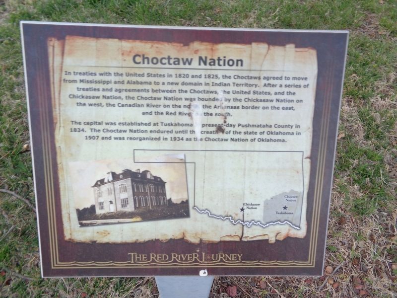
Choctaw Nation
The Red River Journey
Photographed by Jason Voigt, April 9, 2021
1. Choctaw Nation Marker
The capital was established at Tuskahoma in present-day Pushmataha County in 1834. The Choctaw Nation endured until the creation of the state of Oklahoma in 1907 and was reorganized in 1934 as the Choctaw Nation of Oklahoma.
Topics. This historical marker is listed in these topic lists: Indigenous Peoples and Communities • Settlements & Settlers. A significant historical year for this entry is 1820.
Location. 35° 29.621′ N, 97° 29.84′ W. Marker is in Oklahoma City, Oklahoma, in Oklahoma County. It is in Central Oklahoma City. It can be reached from Nazih Zuhdi Drive west of North Laird Avenue. Marker is part of the Red River Journey pathway, which is on the grounds of the Oklahoma History Center. Touch for map.
this page online

Regionally, this marker is in Central Oklahoma — Frontier Country. It is also in the American South, specifically on the prairies, and on the Southern Plains. Globally, it is in North America, the Western Hemisphere, the Western World, and the Anglosphere. Historically, it finds itself in what was once the territory of the Mississippian Culture and also the Louisiana Purchase.
Other nearby markers. At least 8 other markers are within walking distance of this marker: Chahte Tamaha (here, next to this marker); Oberlin (a few steps from this marker); The Meinders Foundation Heritage Gardens (a few steps from this marker); The Great Raft (a few steps from this marker); Kiamichi River (a few steps from this marker); Jones Plantation (a few steps from this marker); Fort Towson (a few steps from this marker); Blue River (a few steps from this marker). Touch for a list and map of all markers in Oklahoma City.
Photographed by Jason Voigt, April 9, 2021
2. Choctaw Nation Marker
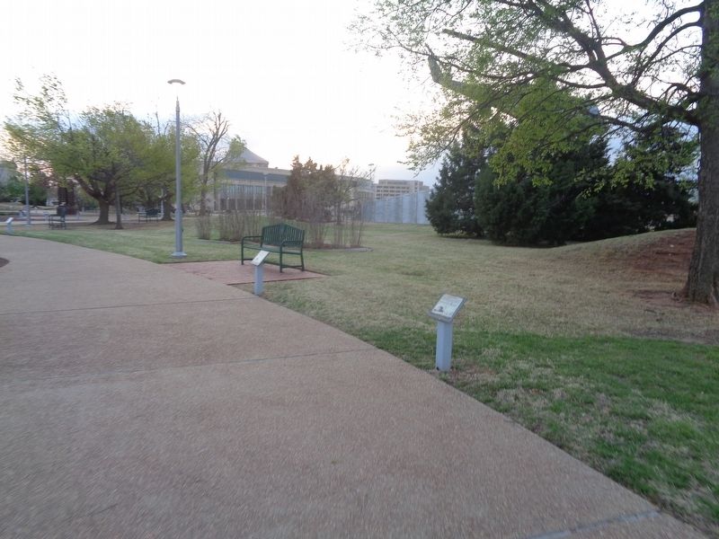
Marker is on the right. Oklahoma History Center is in the background.
Credits. This page was last revised on February 16, 2023. It was originally submitted on May 9, 2021, by Jason Voigt of Glen Carbon, Illinois. This page has been viewed 332 times since then and 30 times this year. Photos: 1, 2. submitted on May 9, 2021, by Jason Voigt of Glen Carbon, Illinois.
