Central Oklahoma City in Oklahoma County, Oklahoma — The American South (West South Central)
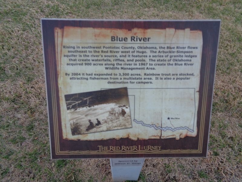
Blue River
The Red River Journey
By 2004 it had expanded to 3,300 acres. Rainbow trout are stocked, attracting fisherman from a multistate area. It is also a popular destination for campers.
Topics. This historical marker is listed in these topic lists: Parks & Recreational Areas • Waterways & Vessels. A significant historical year for this entry is 1967.
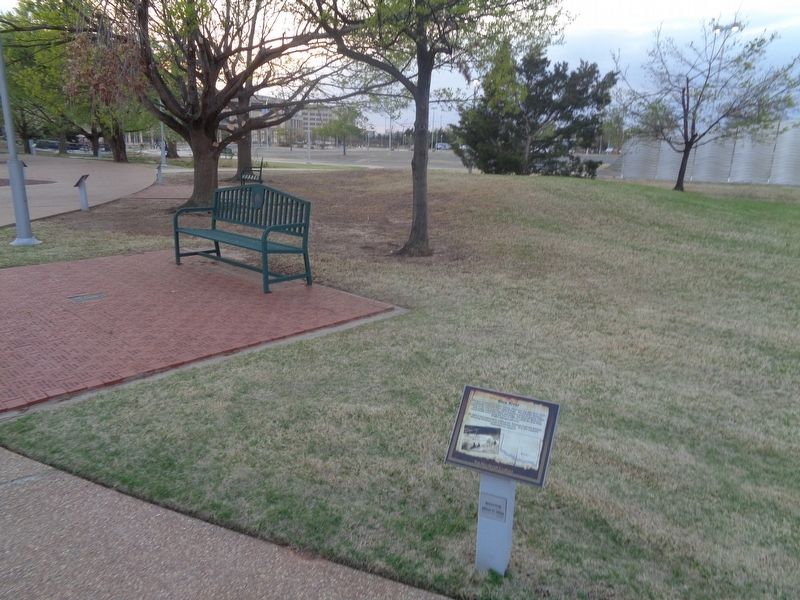
Location. 35° 29.617′ N, 97° 29.853′ W. Marker is in Oklahoma City, Oklahoma, in Oklahoma County. It is in Central Oklahoma City. Marker can be reached from Nazih Zuhdi Drive west of North Laird Avenue. Marker is part of the Red River Journey pathway, which is on the grounds of the Oklahoma History Center. Touch for map. Marker is at or near this postal address: 800 Nazih Zuhdi Drive, Oklahoma City OK 73105, United States of America. Touch for directions.
Other nearby markers. At least 8 other markers are within walking distance of this marker. Trail of Tears (a few steps from this marker); East and West Shawnee Trails (a few steps from this marker); Oberlin (a few steps from this marker); Butterfield Overland Stage (a few steps from this marker); "Alfalfa Bill" Murray's Red River Bridge War (a few steps from this marker); Bison Tracks (a few steps from this marker); Chahte Tamaha (a few steps from this marker); Bloomfield Academy (a few steps from this marker). Touch for a list and map of all markers in Oklahoma City.
Also see . . . Blue River on Wikipedia. (Submitted on May 9, 2021, by Jason Voigt of Glen Carbon, Illinois.)
Credits. This page was last revised on February 16, 2023. It was originally submitted on May 9, 2021, by Jason Voigt of Glen Carbon, Illinois. This page has been viewed 158 times since then and 21 times this year. Photos: 1, 2. submitted on May 9, 2021, by Jason Voigt of Glen Carbon, Illinois.

