Dover in Stewart County, Tennessee — The American South (East South Central)
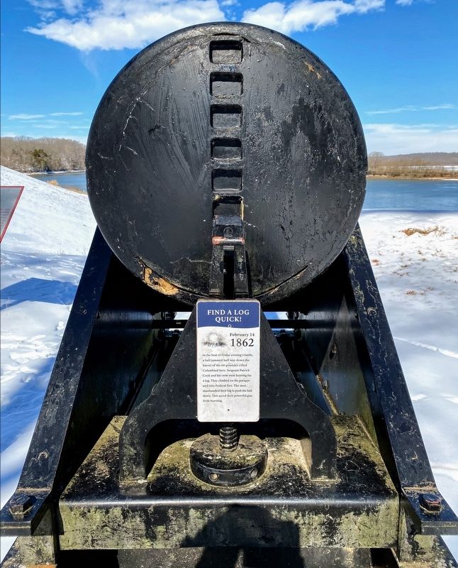
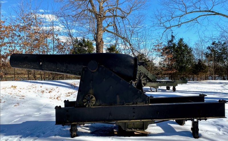
Find A Log Quick!
February 14 1862
Erected by Fort Donelson National Battlefield - National Park Service - US Department of the Interior.
Topics. This historical marker is listed in these topic lists: Military • War, US Civil. A significant historical date for this entry is February 14, 1862.
Location. 36° 29.662′ N, 87° 51.298′ W. Marker is in Dover, Tennessee, in Stewart County. Marker is on Lock D Loop north of Lock D Road, on the right when traveling north. Marker is located at the Upper River Battery, part of Auto Tour Stop 4 on the Fort Donelson National Battlefield Driving Tour Route. Touch for map. Marker is in this post office area: Dover TN 37058, United States of America. Touch for directions.
Other nearby markers. At least 8 other markers are within walking distance of this marker. With Admirable Precision (a few steps from this marker); The Upper Water Battery (a few steps from this marker); Powder Magazine (within shouting distance of this marker); Gun Positions (about 300 feet away, measured in a direct line); The River Batteries (about 300 feet away); Foote's Gunboat Flotilla (about 400 feet away); Exchanging Iron Valentines (about 400 feet away); Control the Rivers and Railroads (about 400 feet away). Touch for a list and map of all markers in Dover.
Also see . . . Fort Donelson National Battlefield. National Park Service (Submitted on May 11, 2021.)
Credits. This page was last revised on May 11, 2021. It was originally submitted on May 10, 2021, by Shane Oliver of Richmond, Virginia. This page has been viewed 105 times since then and 6 times this year. Photos: 1, 2. submitted on May 10, 2021, by Shane Oliver of Richmond, Virginia. • Bernard Fisher was the editor who published this page.

