New Concord in Calloway County, Kentucky — The American South (East South Central)
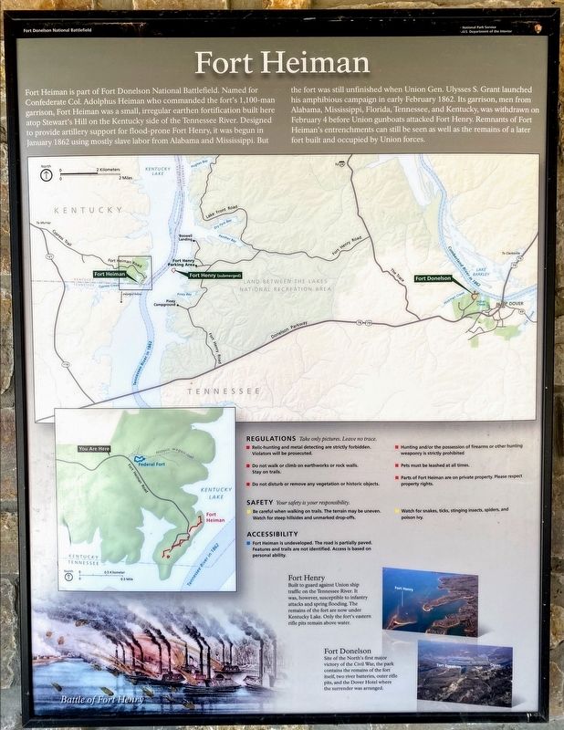
Fort Heiman
Photographed by Shane Oliver, March 6, 2021
1. Fort Heiman Marker
Regulations Take only pictures. Leave no trace.
- Relic-hunting and metal detecting are strictly forbidden. Violators will be prosecuted.
- Do not walk or climb on earthworks or rock walls. Stay on trails.
- Do not disturb or remove any vegetation or historic objects.
- Hunting and/or the possession
this page online
- Pets must be leashed at all times.
- Parts of Fort Heiman are on private property. Please respect property rights.
Safety Your safety is your responsibility.
- Be careful when walking on trails. The terrain may be uneven. Watch for steep hillsides and unmarked drop-offs.
- Watch for snakes, ticks, stinging insects, spiders, and poison ivy.
Accessibility
- Fort Heiman is undeveloped. The road is partially paved. Features and trails are not identified. Access is based on personal ability.
Fort Henry
Built to guard against Union ship traffic on the Tennessee River. It was, however, susceptible to infantry attacks and spring flooding. The remains of the fort are now underneath Kentucky Lake. Only the fort's eastern rifle pits remain above water.
Fort Donelson
Site of the North's first major victory of the Civil War, the park contains the remains of the fort itself, two river batteries, outer rifle pits, and the Dover Hotel where the surrender was arranged.
(Image Caption):
Battle of Fort Henry
Erected by Fort Donelson National Battlefield - National
Photographed by Shane Oliver, March 6, 2021
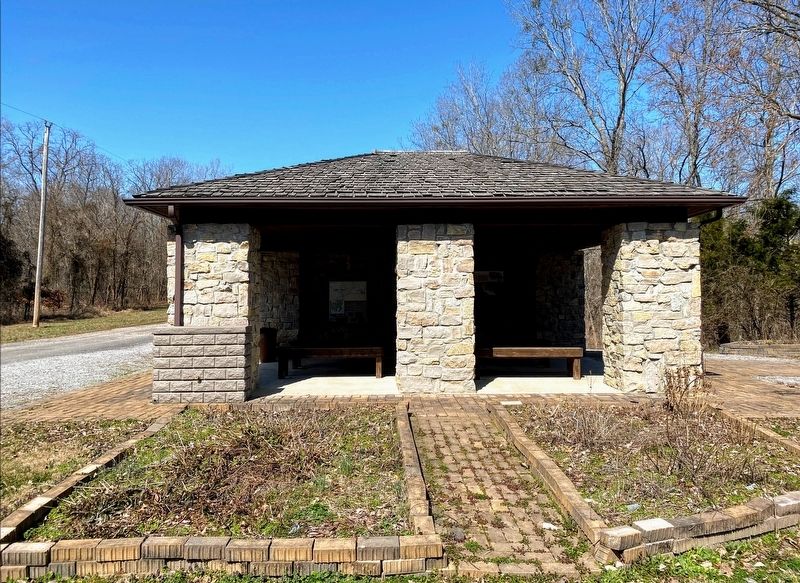
2. Fort Heiman Exhibit Shelter
Marker is at the left side of the exhibit shelter.
Topics. This historical marker is listed in these topic lists: Forts and Castles • War, US Civil.
Location. 36° 30.096′ N, 88° 3.372′ W. Marker is in New Concord, Kentucky, in Calloway County. It can be reached from Fort Heiman Road 0.6 miles east of Kline Trail, on the left when traveling east. Marker is located at the Fort Heiman exhibit shelter, at the Fort Heiman Unit of Fort Donelson National Battlefield. Touch for map. Marker is in this post office area: New Concord KY 42076, United States of America. Touch for directions.

Regionally, this marker is in the Jackson Purchase. It is also in the American Midwest, in the South, and specifically in the Upper South. Globally, it is in North America, the Western Hemisphere, the Western World, and the Anglosphere. Historically, it finds itself in what was once the territory of the Mississippian Culture and also the Antebellum South.
Other nearby markers. At least 8 other markers are within 3 miles of this marker, measured as the crow flies: Pook Turtles (here, next to this
Photographed by Shane Oliver, March 6, 2021
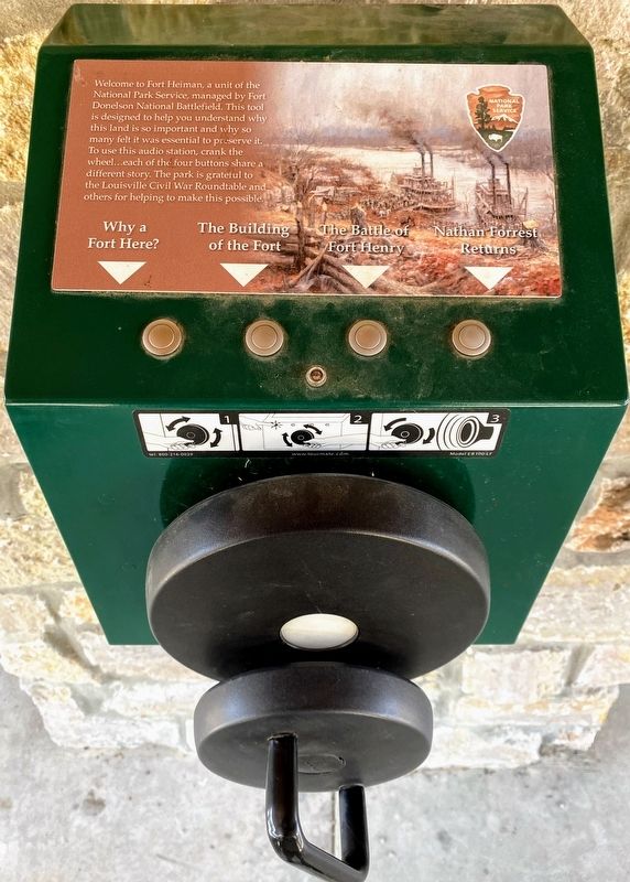
3. Fort Heiman Exhibit Shelter
This device plays recorded audio messages by cranking a wheel. There is no electricity at the Fort Heiman Unit.
More about this marker. The Military Wagon Road map on the marker represents a Civil War-era road network which no longer exists. This map should NOT be used as a trail map of Fort Heiman. Additionally, Fort Heiman is located in a rural area with no electricity, limited cellular service, and partially-paved roads. Exercise caution when visiting.
Also see . . . Fort Donelson National Battlefield. National Park Service (Submitted on May 10, 2021.)
Credits. This page was last revised on May 11, 2021. It was originally submitted on May 10, 2021, by Shane Oliver of Richmond, Virginia. This page has been viewed 725 times since then and 71 times this year. Photos: 1, 2, 3. submitted on May 10, 2021, by Shane Oliver of Richmond, Virginia. • Bernard Fisher was the editor who published this page.
