Wrightsville in York County, Pennsylvania — The American Northeast (Mid-Atlantic)
Mifflin House
Underground Railroad to Civil War
Photographed by Shane Oliver, July 18, 2020
1. Mifflin House Marker
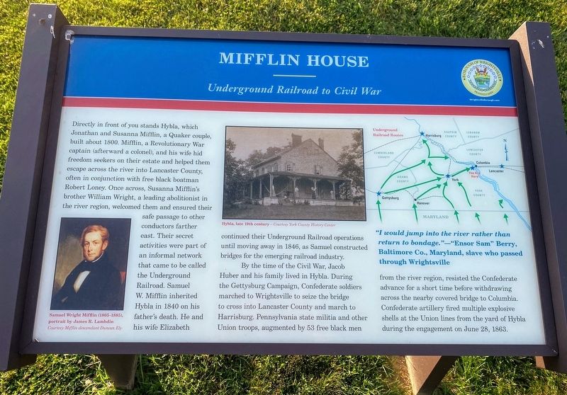
By the time of the Civil War, Jacob Huber and his family lived in Hybla. During the Gettysburg Campaign, Confederate soldiers marched to Wrightsville to seize the bridge to cross into Lancaster County and march to Harrisburg. Pennsylvania state militia and other Union troops,
this page online
"I would jump into the river rather than return to bondage." —"Ensor Sam" Berry, Baltimore Co., Maryland, slave who passed through Wrightsville
(captions)
Samuel Wright Mifflin (1805-1885), portrait by James R. Lambdin Courtesy Mifflin descendant Duncan Ely
Hybla, late 19th century - Courtesy York County History Center
Erected 2019 by Pennsylvania Civil War Trails.
Topics and series. This historical marker is listed in these topic lists: Abolition & Underground RR • African Americans • War, US Civil. In addition, it is included in the Pennsylvania Civil War Trails series list. A significant historical date for this entry is June 28, 1863.
Location. 40° 1.604′ N, 76° 32.412′ W. Marker is in Wrightsville, Pennsylvania, in York County. It is on Cherry Street west of North 7th Street, on the right when traveling west.
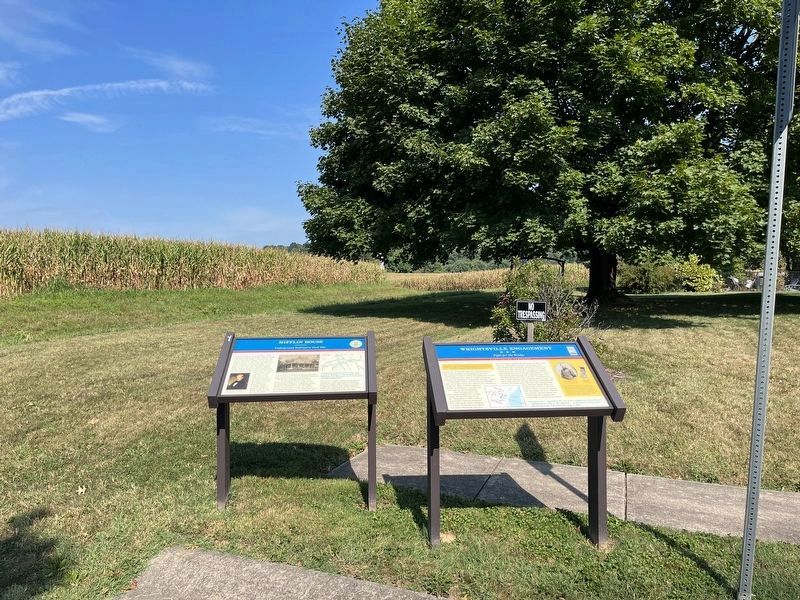

Regionally, this marker is in South-Central Pennsylvania, specifically in Pennsylvania Dutch Country, in the Susquehanna Valley, and in Greater Harrisburg. It is also in the American Northeast and in the Mid-Atlantic. Globally, it is in North America, the Western Hemisphere, the Western World, and the Anglosphere. Historically, it finds itself in what was once the Haudenosaunee (Iroquois) Confederacy and also one of the original Thirteen Colonies.
Other nearby markers. At least 8 other markers are within walking distance of this marker: Wrightsville Engagement (here, next to this marker); World War Memorial (approx. ¼ mile away); Road of Remembrance (approx. ¼ mile away); Springetsbury Manor (approx. ¼ mile away); Veterans Memorial (approx. ¼ mile away); Wrightsville (approx. 0.3 miles away); U.S.S. Maine Memorial (approx. 0.4 miles away); Flame of Freedom (approx. 0.4 miles away). Touch for a list and map of
Photographed by Shane Oliver, July 18, 2020
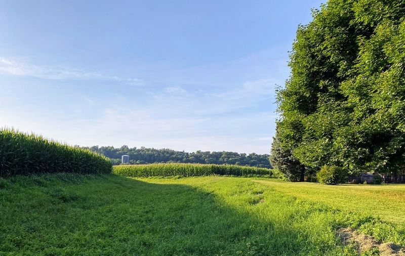
3. View of the Mifflin House from the marker.
The Mifflin House is currently a private residence, and is not open to the public. Although obstructed by crops and tall grasses in the summer, this is currently the closest you can get to the Mifflin house.
More about this marker. The marker features a map of the Underground Railroad Routes in Southern Pennsylvania.
Credits. This page was last revised on September 7, 2022. It was originally submitted on December 16, 2020, by Shane Oliver of Richmond, Virginia. This page has been viewed 1,357 times since then and 67 times this year. Last updated on May 10, 2021, by Carl Gordon Moore Jr. of North East, Maryland. Photos: 1. submitted on December 16, 2020, by Shane Oliver of Richmond, Virginia. 2. submitted on September 7, 2022, by Devry Becker Jones of Washington, District of Columbia. 3. submitted on December 16, 2020, by Shane Oliver of Richmond, Virginia. • Bill Pfingsten was the editor who published this page.
