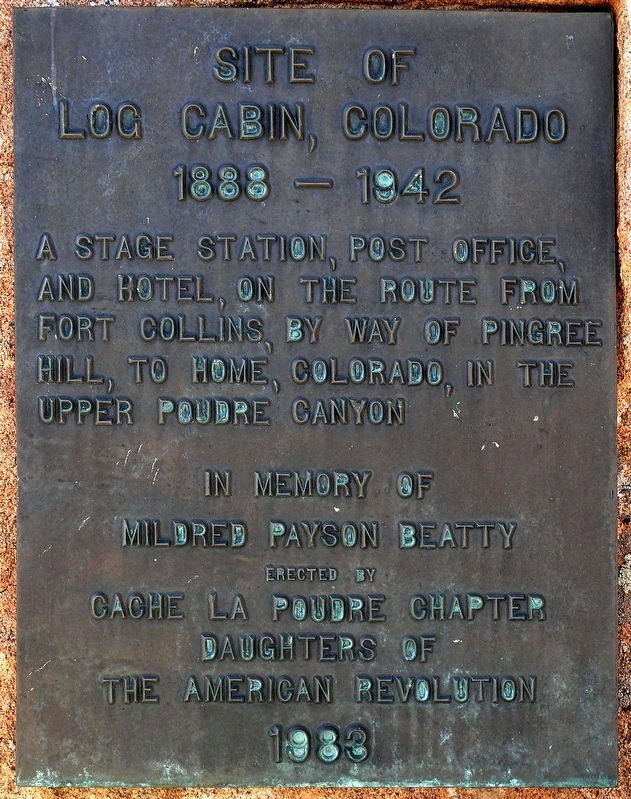
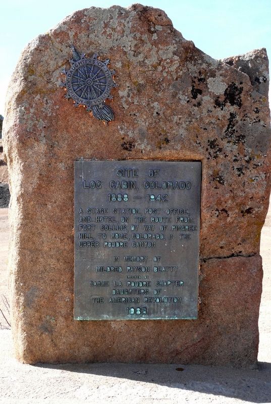
Site of Log Cabin, Colorado
1888-1942
In memory of Mildred Payson Beatty
Erected 1983 by Cache La Poudre Chapter, Daughters of the American Revolution.
Topics and series. This historical marker is listed in these topic lists: Communications • Industry & Commerce • Roads & Vehicles • Settlements & Settlers. In addition, it is included in the Daughters of the American Revolution series list. A significant historical year for this entry is 1888.
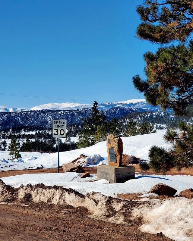
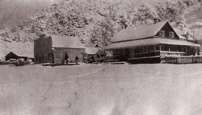
Location. 40° 45.564′ N, 105° 28.354′ W. Marker is near Livermore, Colorado, in Larimer County. Marker is at the intersection of Red Feather Lakes Rd (County Road 74E at milepost 16) and Boy Scout Rd (County Road 68C), on the right when traveling south on Red Feather Lakes Rd. The site was comprised of numerous farm, commercial and residential buildings, which were on both sides of the present Red Feather Lakes Rd. Touch for map. Marker is in this post office area: Livermore CO 80536, United States of America. Touch for directions.
Other nearby markers. At least 1 other marker is within 15 miles of this marker, measured as the crow flies. Virginia Dale (approx. 15 miles away).
Regarding Site of Log Cabin, Colorado.
Above the canyon obstacles, the path in the upper canyon allowed road building and ranch development. The route through Livermore was developed to provide access to this upper canyon, over Cameron Pass, into North Park and beyond.
For 56 years Log Cabin was a crucial way station for all freight and traffic moving across this challenging terrain. By 1926 engineering technology had developed that allowed road construction through the lower Poudre Canyon.
Credits. This page was last revised on May 14, 2021. It was originally submitted on May 10, 2021, by Michael O'Neill of Livermore, Colorado. This page has been viewed 155 times since then and 19 times this year. Photos: 1, 2, 3. submitted on May 10, 2021, by Michael O'Neill of Livermore, Colorado. 4. submitted on May 14, 2021, by Michael O'Neill of Livermore, Colorado. • Bill Pfingsten was the editor who published this page.


