Near Dickerson in Montgomery County, Maryland — The American Northeast (Mid-Atlantic)
White’s Ferry
Invasion or Liberation?
— Antietam Campaign 1862 —
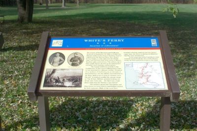
The largely indifferent reaction to the Confederates as they entered Montgomery County was described by a Missouri soldier, “Instead of an outburst of overflowing joy, at the sight of their deliverers, not one solitary soul had come to the River bank to see us cross or welcome us to the soil.” A resident recalled the veteran troops as “the dirtiest, filthiest, piratical-looking, cutthroat men I ever saw.... Yet there was a dash about them that the Northern men lacked.”
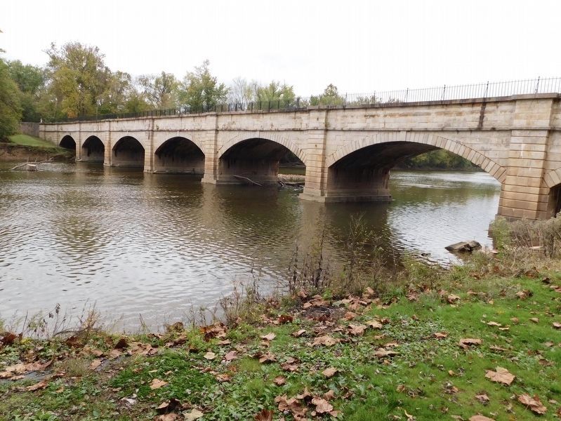
The invaders passed the Chesapeake and Ohio Canal via road culverts and bridges erected by their engineers. Walls of the canal were breached to disrupt commerce and the enemy’s supply lines, but efforts to destroy the Monocacy Aqueduct were unsuccessful.
As the largest part of the Confederate army marched toward Frederick, Gen. J.E.B. Stuart’s cavalry formed a protective screen to the south.
Erected by Maryland Civil War Trails.
Topics and series. This historical marker is listed in this topic list: War, US Civil. In addition, it is included in the Chesapeake and Ohio (C&O) Canal, and the Maryland Civil War Trails series lists. A significant historical month for this entry is September 1805.
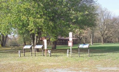
Location. 39° 9.32′ N, 77° 31.1′ W. Marker is near Dickerson, Maryland, in Montgomery County. Marker can be reached from Whites Ferry Road, 0.1 miles south of River Road, on the right when traveling west. It is in a group of three markers at the far end of the parking lot. Touch for map. Marker is at or near this postal address: 24801 Whites Ferry Road, Dickerson MD 20842, United States of America. Touch for directions.
Other nearby markers. At least 8 other markers are within 2 miles of this marker, measured as the crow flies. 1862 Antietam Campaign (here, next to this marker); Gettysburg Campaign (a few steps from this marker); The History of White's Ferry (about 300 feet away, measured in a direct line); a different marker also named White’s Ferry (about 300 feet away); Chesapeake & Ohio Canal (about 400 feet away); Sharpsburg (Antietam) Campaign (approx. 1.2 miles away in Virginia); Ball’s Bluff Overlook (approx. 1.6 miles away in Virginia); Union Artillery (approx. 1.6 miles away in Virginia). Touch for a list and map of all markers in Dickerson.
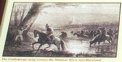
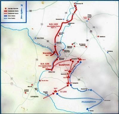
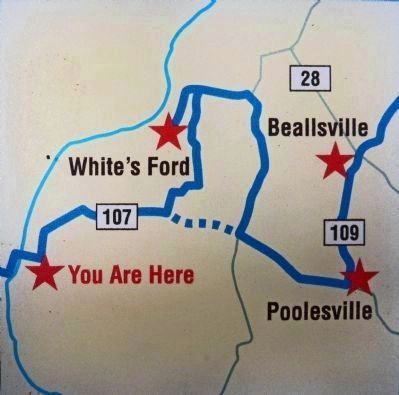
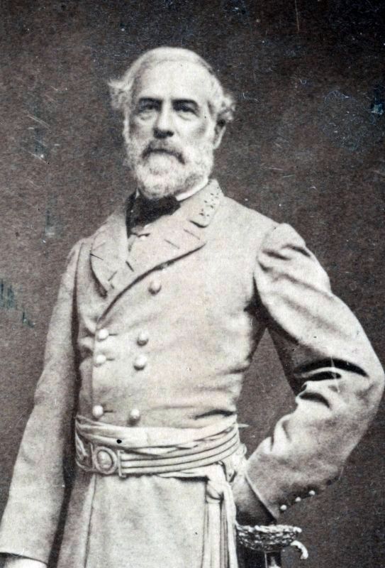
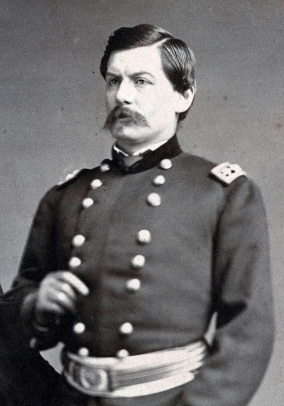
More about this marker. The marker displays portraits of Gens. Robert E. Lee and George B. McClellan on the upper left. On the lower left is a depiction of The Confederate army crosses the Potomac River into Maryland. A map of the 1862 Antietam Campaign, highlighting other Civil War Trails sites, is on the right.
Regarding White’s Ferry. 2006 White’s Ferry fare for automobiles is $3 one way or $5 round trip. Pedestrians and bicyclists 50¢ each. Ferry operates year-round (except when the river floods or freezes solid), but the restaurant, gift and convenience shop is only open during the six summer months.
2017 Toll Ferry - Cash Only Cars One Way: $5.00 Cars Roundtrip: $8.00 Motorcycles: $3.00 Bicycle: $2.00 Pedestrian: $1.00 Trucks: Varies
Credits. This page was last revised on May 12, 2021. It was originally submitted on January 12, 2007, by Tom Fuchs of Greenbelt, Maryland. This page has been viewed 3,777 times since then and 67 times this year. Last updated on May 11, 2021, by Bradley Owen of Morgantown, West Virginia. Photos: 1, 2, 3. submitted on January 12, 2007, by Tom Fuchs of Greenbelt, Maryland. 4, 5. submitted on May 6, 2013, by Allen C. Browne of Silver Spring, Maryland. 6, 7. submitted on November 14, 2017, by Allen C. Browne of Silver Spring, Maryland. 8. submitted on May 11, 2021, by Bradley Owen of Morgantown, West Virginia. • J. Makali Bruton was the editor who published this page.
