Winder in Barrow County, Georgia — The American South (South Atlantic)
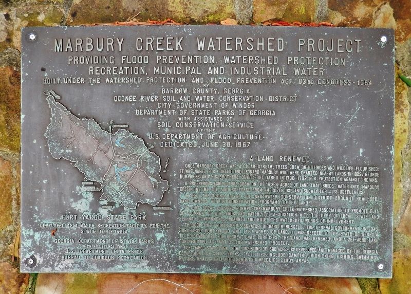
Marbury Creek Watershed Project
Providing Flood Prevention, Watershed Protection, Recreation, Municipal and Industrial Water
83rd Congress — 1954
by
Barrow County, Georgia
Oconee River Soil and Water Conservation District
City Government of Winder
Department of State Parks of Georgia
with assistance of
Soil Conservation Service
of the
U.S. Department of Agriculture
Dedicated June 30, 1967
A Land Renewed
A prosperous agriculture grew on the 16,394 acres of land that “sheds” water into Marbury Creek. In time the land suffered from improper use and slowly lost its usefulness.
In 1940 the Oconee River Soil and Water Conservation District brought new hope. Land owners applied conservation programs to the land.
In 1954 local citizens formed the Marbury Creek Watershed Association to promote full development of the lands and water. The association, with the help of local, state, and federal governments, planned and built the watershed works of improvement.
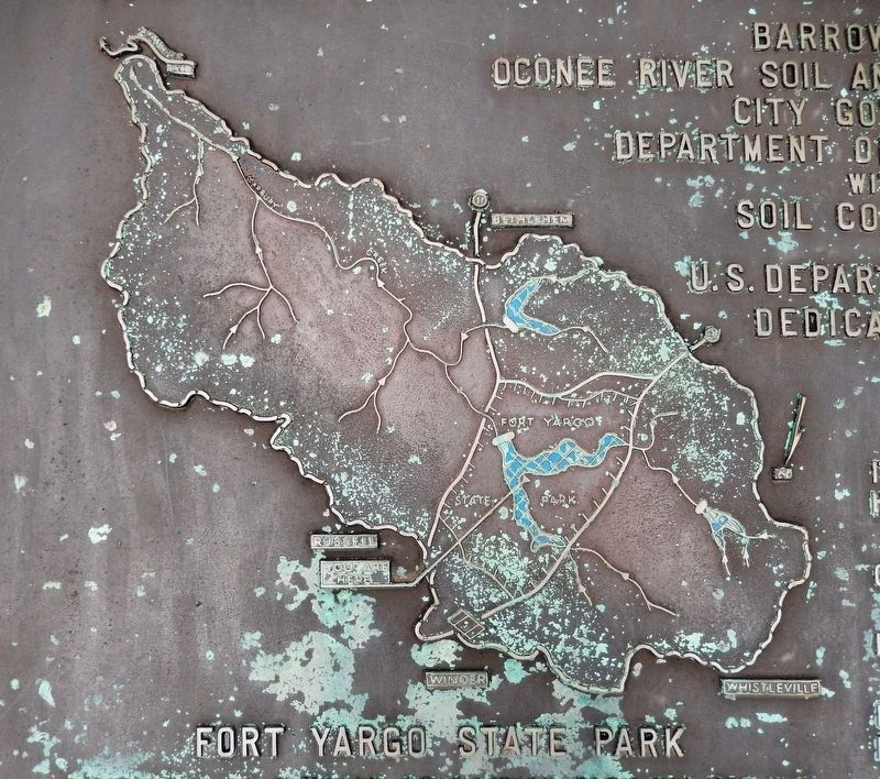
Through the efforts of U.S. Senator Richard B. Russell, the Federal Government in 1942 purchased Fort Yargo and 1497 acres of land. It was deeded to the State of Georgia to be developed for recreational purposes. The land was renewed, and a 261-acre lake constructed as part of the watershed project.
Fort Yargo State Park, now consisting of 1680 acres, is developed and managed by the Georgia Department of State Parks. Facilities include camping, picnicking, fishing, swimming, nature trails and woodland and wildlife study areas.
Topics. This historical marker is listed in these topic lists: Forts and Castles • Parks & Recreational Areas • Settlements & Settlers • Waterways & Vessels. A significant historical date for this entry is June 30, 1967.
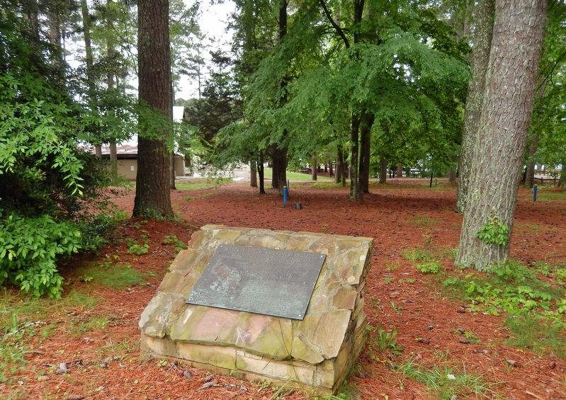
Location. 33° 58.088′ N, 83° 43.839′ W. Marker is in Winder, Georgia, in Barrow County. Marker is on Fort Yargo Road, one mile south of Loganville Highway (Georgia Highway 81), on the right when traveling south. Marker is located in Fort Yargo State Park, beside the playground and beach parking lot at the south end of Fort Yargo Road. Touch for map. Marker is in this post office area: Winder GA 30680, United States of America. Touch for directions.
Other nearby markers. At least 8 other markers are within walking distance of this marker. Charles O. Maddox (a few steps from this marker); Fort Yargo's Smokehouse (approx. 0.6 miles away); Fort Yargo's Beehive Oven (approx. 0.6 miles away); Fort Yargo's Log Structure
(approx. 0.6 miles away); Fort Yargo's Cabin (approx. 0.6 miles away); Fort Yargo's Frontier Fences (approx. 0.6 miles away); Fort Yargo's Living History Society (approx. 0.6 miles away); Fort Yargo (approx. 0.6 miles away). Touch for a list and map of all markers in Winder.
Related markers. Click here for a list of markers that are related to this marker. Fort Yargo State Park
Also see . . . Marbury Creek Watershed Structure No. 22: Barrow County, GA. The Marbury Creek Watershed is a federally assisted action authorized for planning under Public Law 106-472, the Watershed Rehabilitation Act, which amends Public Law 83-566, the Watershed Protection and Flood Prevention Act. (Submitted on May 12, 2021, by Cosmos Mariner of Cape Canaveral, Florida.)
Credits. This page was last revised on December 4, 2021. It was originally submitted on May 12, 2021, by Cosmos Mariner of Cape Canaveral, Florida. This page has been viewed 356 times since then and 50 times this year. Photos: 1, 2, 3. submitted on May 12, 2021, by Cosmos Mariner of Cape Canaveral, Florida.


