Canton in Wayne County, Michigan — The American Midwest (Great Lakes)
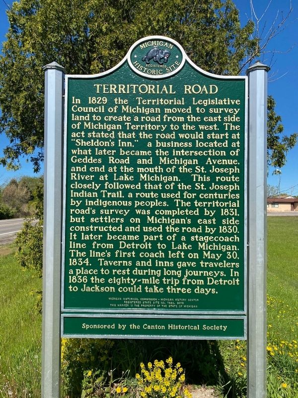
Territorial Road
In 1829 the Territorial Legislative Council of Michigan moved to survey land to create a road from the east side of Michigan Territory to the west. The act stated that the road would start at “Sheldon’s Inn,” a business located at what later became the intersection of Geddes Road and Michigan Avenue, and end at the mouth of the St. Joseph River at Lake Michigan. This route closely followed that of the St. Joseph Indian Trail, a route used for centuries by indigenous peoples. The territorial road’s survey was completed by 1831, but settlers on Michigan’s east side constructed and used the road by 1830. It later became part of a stagecoach line from Detroit to Lake Michigan. The line’s first coach left on May 30, 1834. Taverns and inns gave travelers a place to rest during long journeys. In 1836 the eighty-mile trip from Detroit to Jackson could take three days.
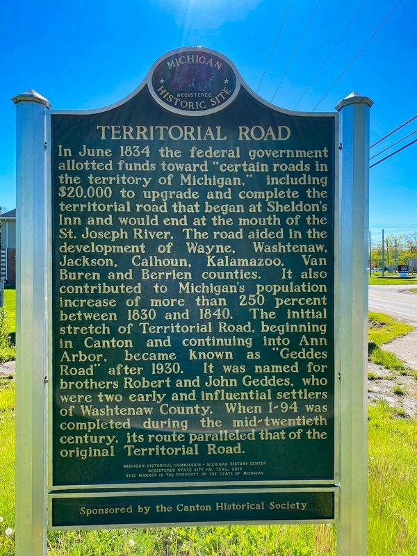
In June 1834 the federal government allotted funds toward “certain roads in the territory of Michigan,” including $20,000 to upgrade and complete the territorial road that began at Sheldon’s Inn and would end at the mouth of the St. Joseph River. The road aided in the development of Wayne, Washtenaw, Jackson, Calhoun, Kalamazoo, Van Buren and Berrien counties. It also contributed to Michigan’s population increase of more than 250 percent between 1830 and 1840. The initial stretch of Territorial Road, beginning in Canton and continuing into Ann Arbor, became known as “Geddes Road” after 1930. It was named for brothers Robert and John Geddes, who were two early and influential settlers of Washtenaw County. When I-94 was completed during the mid-twentieth century, its route paralleled that of the original Territorial Road.
Erected 2019 by Michigan Historical Commission - Michigan History Center. (Marker Number S756C.)
Topics. This historical marker is listed in these topic lists: Roads & Vehicles • Settlements & Settlers. A significant historical year for this entry is 1829.
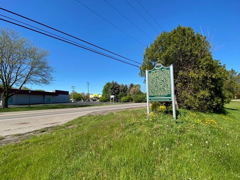
Location. 42° 16.54′ N, 83° 28.612′ W. Marker is in Canton, Michigan, in Wayne County. Marker is on Geddes Road, 0.1 miles west of Sheldon Road, on the right when traveling west. Touch for map. Marker is in this post office area: Canton MI 48188, United States of America. Touch for directions.
Other nearby markers. At least 8 other markers are within 4 miles of this marker, measured as the crow flies. Sheldon's Corners (approx. 0.2 miles away); Downer Cemetery (approx. 1.6 miles away); Canton Veterans Memorial (approx. 1.7 miles away); Canton Center School (approx. 1.8 miles away); Cherry Hill Village (approx. 3.7 miles away); The Historic Cady Barn (approx. 3.7 miles away); Palmer Shed (approx. 3.7 miles away); Farming in Canton (approx. 3.7 miles away). Touch for a list and map of all markers in Canton.
Credits. This page was last revised on May 13, 2021. It was originally submitted on May 12, 2021, by J.T. Lambrou of New Boston, Michigan. This page has been viewed 616 times since then and 62 times this year. Photos: 1, 2, 3. submitted on May 12, 2021, by J.T. Lambrou of New Boston, Michigan. • Bill Pfingsten was the editor who published this page.


