Providence Township near Grand Rapids in Lucas County, Ohio — The American Midwest (Great Lakes)
A Dam With A View
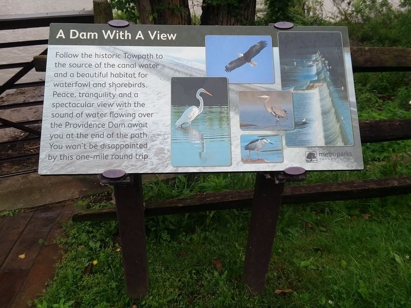
Photographed by Craig Doda, June 16, 2019
1. A Dam With A View Marker
Topics. This historical marker is listed in these topic lists: Industry & Commerce • Waterways & Vessels.
Location. 41° 24.921′ N, 83° 51.759′ W. Marker is near Grand Rapids, Ohio, in Lucas County. It is in Providence Township. It is on South River Road (U.S. 24) 0.2 miles west of Grand Rapids Road (Ohio Route 295), on the right when traveling east. Touch for map. Marker is at or near this postal address: 12630 Grand Rapids Rd, Grand Rapids OH 43522, United States of America. Touch for directions.

Regionally, this marker is on the Lake Erie Shore and in the Toledo Metropolitan Area. It is also in the American Midwest and in the Corn Belt. Globally, it is in North America, on the Great Lakes, in the Western Hemisphere, in the Western World, and in the Anglosphere.
this page online
Other nearby markers. At least 8 other markers are within walking distance of this marker: Next Stop: Bankruptcy! (a few steps from this marker); Isaac Ludwig Historic Mill (within shouting distance of this marker); Water Power: Turbines and Races (within shouting distance of this marker); Tough Times On The Towpath (about 300 feet away, measured in a direct line); Whalers And Wickets Of Lock 44 (about 300 feet away); The Towpath Trail (about 400 feet away); The Oberle Hotel (about 800 feet away); Through The Eyes Of An Artist (approx. 0.2 miles away). Touch for a list and map of all markers in Grand Rapids.
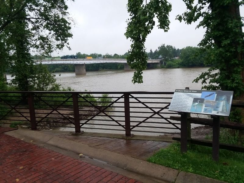
Photographed by Craig Doda, June 16, 2019
2. A Dam With A View Marker
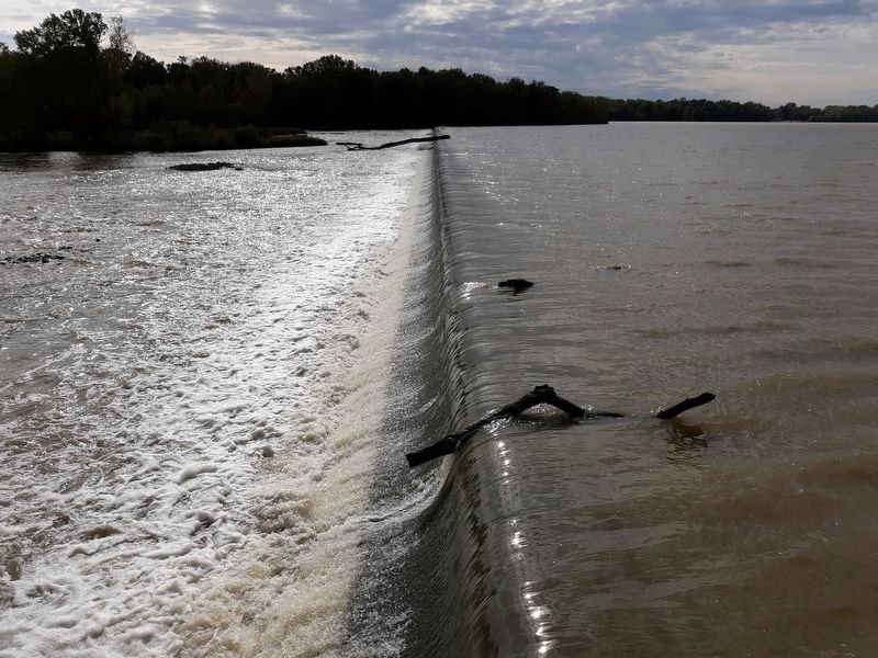
Photographed by Craig Doda, October 6, 2019
3. Providence
Credits. This page was last revised on February 9, 2023. It was originally submitted on May 13, 2021, by Craig Doda of Napoleon, Ohio. This page has been viewed 295 times since then and 31 times this year. Photos: 1, 2, 3. submitted on May 13, 2021, by Craig Doda of Napoleon, Ohio. • Devry Becker Jones was the editor who published this page.
