Providence Township near Grand Rapids in Lucas County, Ohio — The American Midwest (Great Lakes)
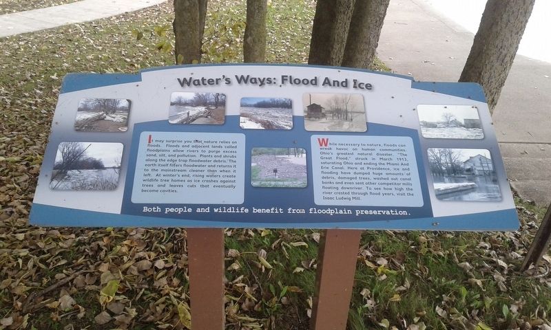
Water's Ways: Flood And Ice
Photographed by Craig Doda, November 4, 2018
1. Water's Ways: Flood And Ice Marker
It may surprise you that nature relies on floods. Floods and adjacent lands called floodplains allow rivers to purge excess sand, silt, and pollution. Plants and shrubs along the edge trap floodwater debris. The earth itself filters floodwater and returns it to the mainstream cleaner than when it left. At winter's end, rising waters create wildlife tree homes as ice crashes against trees and leaves cuts that eventually become cavities.
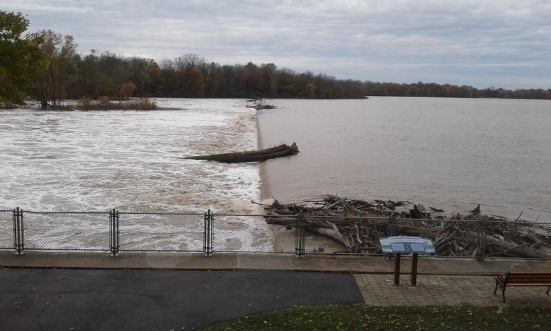
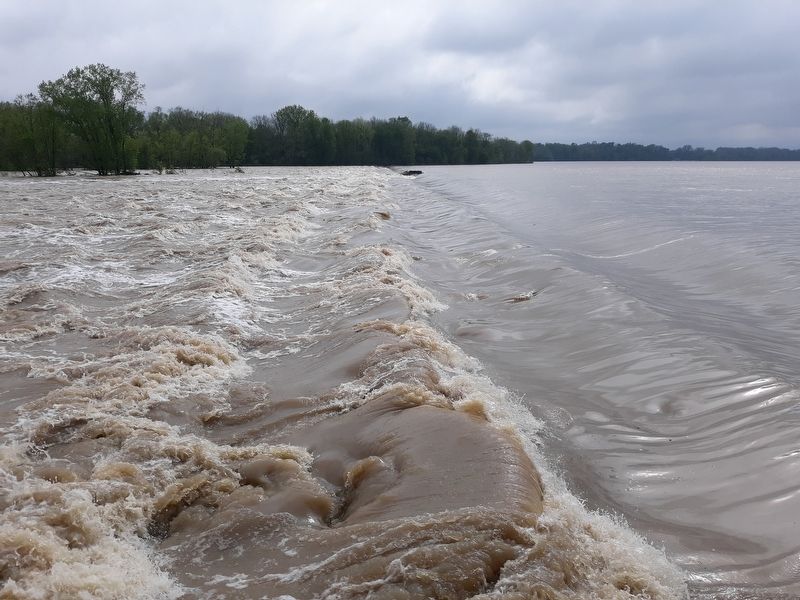
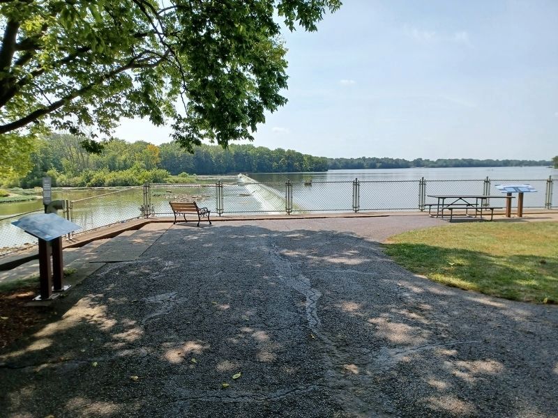
While necessary to nature, floods can wreak havoc on human communities. Ohio's greatest natural disaster, "The Great Flood,” struck in March 1913, saturating Ohio and ending the Miami And Erie Canal. Here at Providence, ice and flooding have dumped huge amounts of debris, damaged trees, washed out canal banks and even sent other competitor mills floating downriver. To see how high the river crested through flood years, visit the Isaac Ludwig Mill.
Both people and wildlife benefit from floodplain preservation.
Topics and series. This historical marker is listed in these topic lists: Disasters • Industry & Commerce • Waterways & Vessels. In addition,
this page online
Location. 41° 25.007′ N, 83° 52.203′ W. Marker is near Grand Rapids, Ohio, in Lucas County. It is in Providence Township. It is at the intersection of South River Road (U.S. 24) and Ludwig Road, on the right when traveling east on South River Road. Touch for map. Marker is at or near this postal address: 13875 S River Rd, Grand Rapids OH 43522, United States of America. Touch for directions.

Regionally, this marker is on the Lake Erie Shore and in the Toledo Metropolitan Area. It is also in the American Midwest and in the Corn Belt. Globally, it is in North America, on the Great Lakes, in the Western Hemisphere, in the Western World, and in the Anglosphere. Historically, it finds itself in what was once the Viceroyalty of New France, the Haudenosaunee (Iroquois) Confederacy, the territory of the Mississippian Culture, and the Northwest Territory.
Other nearby markers. At least 8 other markers are within walking distance of this marker: Tempers Explode As Dams Get Built (a few steps from this marker); Foundations From The Past
Photographed by Craig Doda, November 4, 2018
2. Providence Dam
Taken 2018
Photographed by Craig Doda, May 21, 2020
3. Providence Dam
Taken in 2020, flooded
Photographed by Craig Doda, April 13, 2022
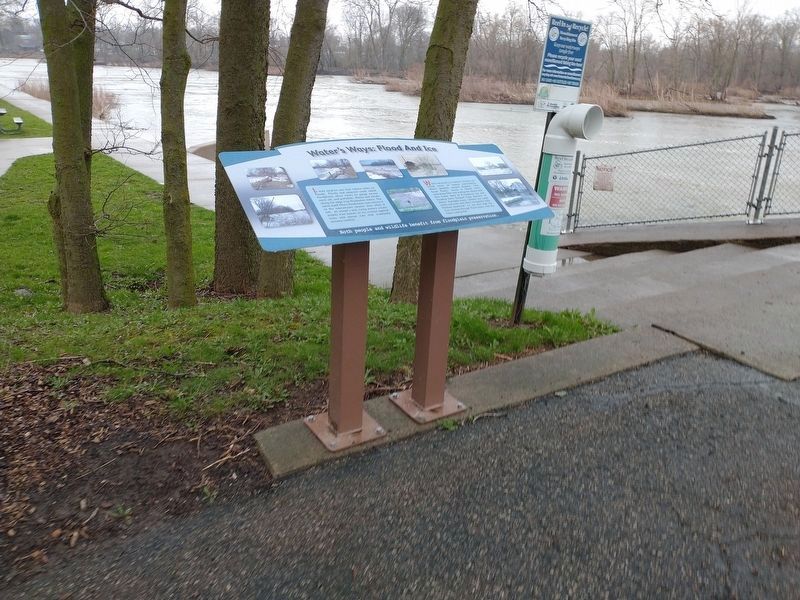
4. Water's Ways: Flood And Ice Marker
Photographed by Joel Seewald, August 24, 2024
5. Water's Ways: Flood And Ice Marker
Credits. This page was last revised on January 21, 2025. It was originally submitted on May 13, 2021, by Craig Doda of Napoleon, Ohio. This page has been viewed 307 times since then and 27 times this year. Photos: 1, 2, 3. submitted on May 13, 2021, by Craig Doda of Napoleon, Ohio. 4. submitted on April 14, 2022, by Craig Doda of Napoleon, Ohio. 5. submitted on December 3, 2024, by Joel Seewald of Madison Heights, Michigan. • Devry Becker Jones was the editor who published this page.
