Maumee in Lucas County, Ohio — The American Midwest (Great Lakes)
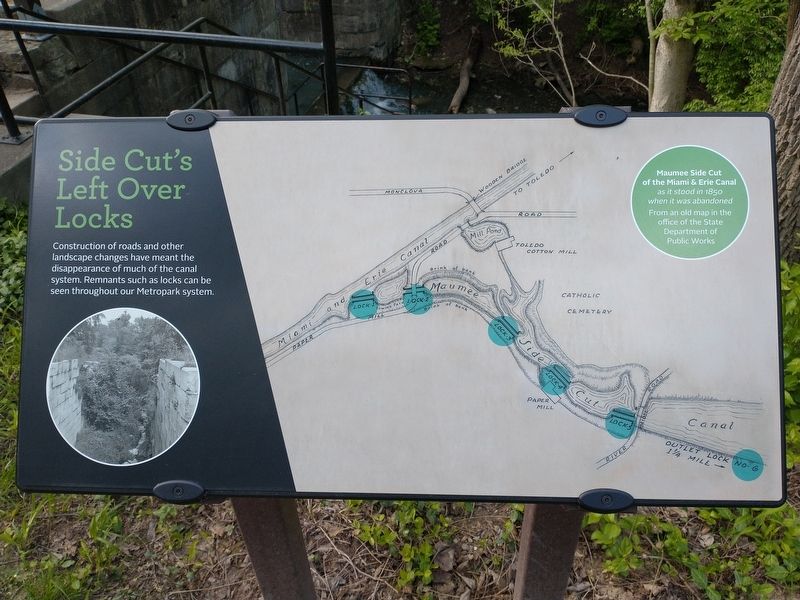
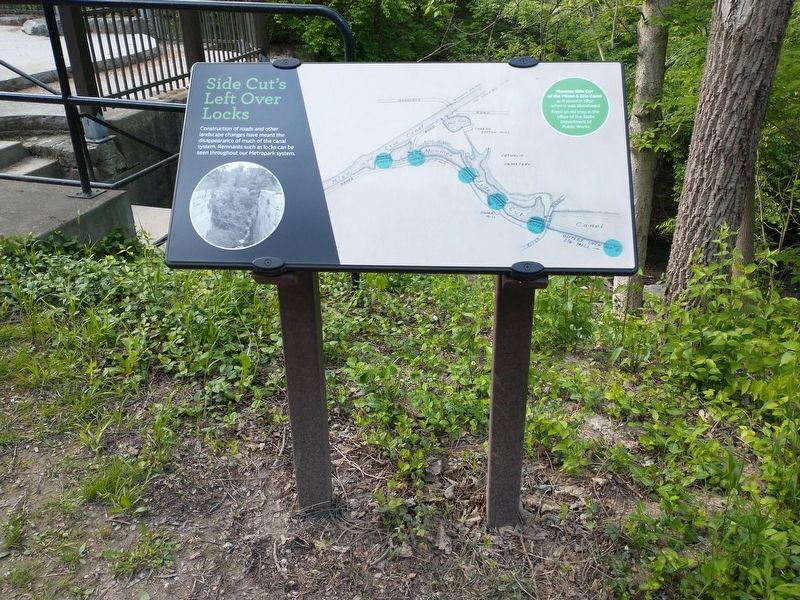
Side Cut's Left Over Locks
Topics and series. This historical marker is listed in these topic lists: Industry & Commerce • Waterways & Vessels. In addition, it is included in the The Miami & Erie Canal series list. A significant historical year for this entry is 1850.
Location. 41° 33.464′ N, 83° 40.422′ W. Marker is in Maumee, Ohio, in Lucas County. Marker can be reached from North River Road, 0.8 miles west of Mohawk Place, on the right when traveling west. Touch for map. Marker is at or near this postal address: 1238 Old Trail Rd, Maumee OH 43537, United States of America. Touch for directions.
Other nearby markers. At least 8 other markers are within walking distance of this marker. Locking in Commerce (about 500 feet away, measured in a direct line); Maumee City (about 600 feet away); Good Work Pays Off (about 600 feet away); Rotary International (1905-2005) / Maumee Rotary Centennial Pavilion Dedicated July 2, 2005 (approx. ¼ mile away); Ohio Historical Flood Marker (approx. 0.8 miles away); American Faces (approx. 0.9 miles away); Treaty of Greenville (approx. 0.9 miles away); Aftermath of War (approx. 0.9 miles away). Touch for a list and map of all markers in Maumee.
Credits. This page was last revised on May 17, 2021. It was originally submitted on May 14, 2021, by Craig Doda of Napoleon, Ohio. This page has been viewed 122 times since then and 9 times this year. Photos: 1, 2. submitted on May 14, 2021, by Craig Doda of Napoleon, Ohio. • Devry Becker Jones was the editor who published this page.

