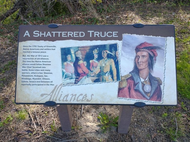
A Shattered Truce
Since the 1795 Treaty of Greenville, Native Americans and settlers had reached a tenuous peace.
But, the War of 1812 saw a
resurrection of old alliances.
This time the Native American
alliance would follow Shawnee
War Chief Tecumseh into
battle. Some tribes sent many
warriors, others a few: Shawnee,
Potawatomi, Kickapoo, Sac,
Winebago, Wyandot, Ottawa,
Ojibwa, Seneca and Delaware all
reportedly participated in the War.
Topics. This historical marker is listed in these topic lists: Forts and Castles • Native Americans • War of 1812. A significant historical year for this entry is 1795.
Location. 41° 34.331′ N, 83° 37.572′ W. Marker is in Maumee, Ohio, in Lucas County. Marker is on Fort Miamis Walking Path, 0.2 miles south of Michigan Avenue, on the left when traveling south. Touch for map. Marker is at or near this postal address: 661 Michigan Ave, Maumee OH 43537, United States of America. Touch for directions.
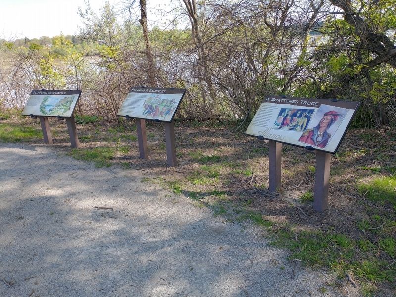
Other nearby markers. At least 8 other markers are within walking distance of this marker. Running A Gauntlet (here, next to this marker); Old Fort, New Battle (here, next to this marker); The Formidable Fort Miamis (about 300 feet away, measured in a direct line); 41st Regiment of Foot - War of 1812 / Private Patrick Russell (about 400 feet away); Fallen Timbers Battlefield and Fort Miamis National Historic Site
Credits. This page was last revised on May 17, 2021. It was originally submitted on May 14, 2021, by Craig Doda of Napoleon, Ohio. This page has been viewed 106 times since then and 11 times this year. Photos: 1, 2. submitted on May 14, 2021, by Craig Doda of Napoleon, Ohio. • Devry Becker Jones was the editor who published this page.

