Manassas Park, Virginia — The American South (Mid-Atlantic)
Conner House
Headquarters and Refuge
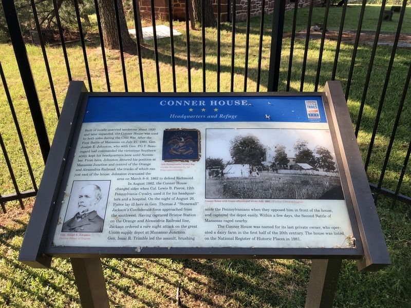
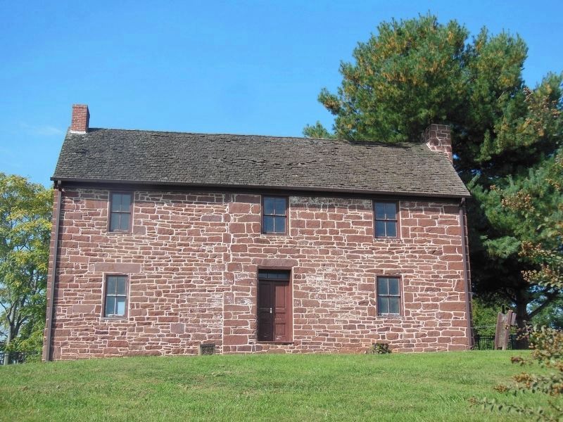
Built of locally quarried sandstone about 1820 and later expanded, the Conner House was used by both sides during the Civil War. After the First Battle of Manassas on July 21, 1861, Gen. Joseph E. Johnston, who with Gen. P.G.T. Beauregard had commanded the victorious Southern army, kept his headquarters here until November. From here, Johnston secured his position and control of the Orange and Alexandria Railroad, the tracks of which ran just east of the house. Johnston evacuated the area on March 8-9, 1862 to defend Richmond.
In August 1862, the Conner House changed sides when Col. Lewis B. Pierce, 12th Pennsylvania Cavalry, used it for his headquarters and a hospital. On the night of August 26, Pierce lay ill here as Gen. Thomas J. "Stonewall" Jackson's Confederate force approached from the southwest. Having captured Bristoe Station on the Orange and Alexandria Railroad line, Jackson ordered a rare night attack on the great Union supply depot at Manassas Junction. Gen. Isaac R. Trimble led the assault, brushing aside the Pennsylvanians when they opposed him in front of the house, and captured the depot easily. Within
this page online
The Conner House was named for its last private owner, who operated a dairy farm in the first half of the 20th century. The house was listed on the National Register of Historic Places in 1981.
Erected by Virginia Civil War Trails.
Topics and series. This historical marker is listed in these topic lists: Agriculture • Railroads & Streetcars • War, US Civil. In addition, it is included in the Orange and Alexandria Railroad, and the Virginia Civil War Trails series lists. A significant historical year for this entry is 1820.
Location. 38° 45.95′ N, 77° 26.714′ W. Marker is in Manassas Park, Virginia. It is on Conner Drive 0.2 miles east of Euclid Avenue, on the left when traveling east. Touch for map. Marker is at or near this postal address: 8220 Conner Dr, Manassas VA 20111, United States of America. Touch for directions.

Regionally, this marker is in the Washington Metropolitan Area and in Northern Virginia. It is also in the American South, specifically in the Upper South, and in the Mid-Atlantic. Globally, it is in North America, the Western Hemisphere,
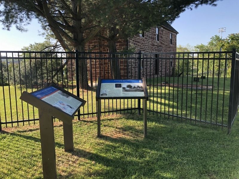
Other nearby markers. At least 8 other markers are within walking distance of this marker: Battle of Bull Run Bridge (a few steps from this marker); Manassas 1825 (approx. 0.8 miles away); Weir Family Cemetery (approx. 0.8 miles away); Liberia Apiary Buzz (approx. 0.8 miles away); a different marker also named Enslaved of Liberia (approx. 0.8 miles away); Liberia and the Weirs (approx. 0.8 miles away); Liberia (approx. 0.8 miles away); Creating a Garden (approx. 0.8 miles away). Touch for a list and map of all markers in Manassas Park.
Other markers no longer nearby. Conner House Restoration (was here, next to this marker but has been permanently removed); a different marker also named Conner House (was a few steps from this marker but has been replaced with another marker now near it); a different marker also named Battle of Bull Run Bridge (was a few steps from this marker but has
Photographed by Bradley Owen, October 19, 2016
3. Conner House
Related marker. Click here for another marker that is related to this marker. This marker has replaced the linked marker which had slightly different content.
Credits. This page was last revised on November 3, 2024. It was originally submitted on May 15, 2021, by Devry Becker Jones of Washington, District of Columbia. This page has been viewed 462 times since then and 38 times this year. Photos: 1, 2. submitted on May 15, 2021, by Devry Becker Jones of Washington, District of Columbia. 3. submitted on June 7, 2021, by Bradley Owen of Morgantown, West Virginia.
