
Near Prentiss in Jefferson Davis County, Mississippi — The American South (East South Central)
Tobias Magee Estate
Photographed by James Hulse, May 14, 2021
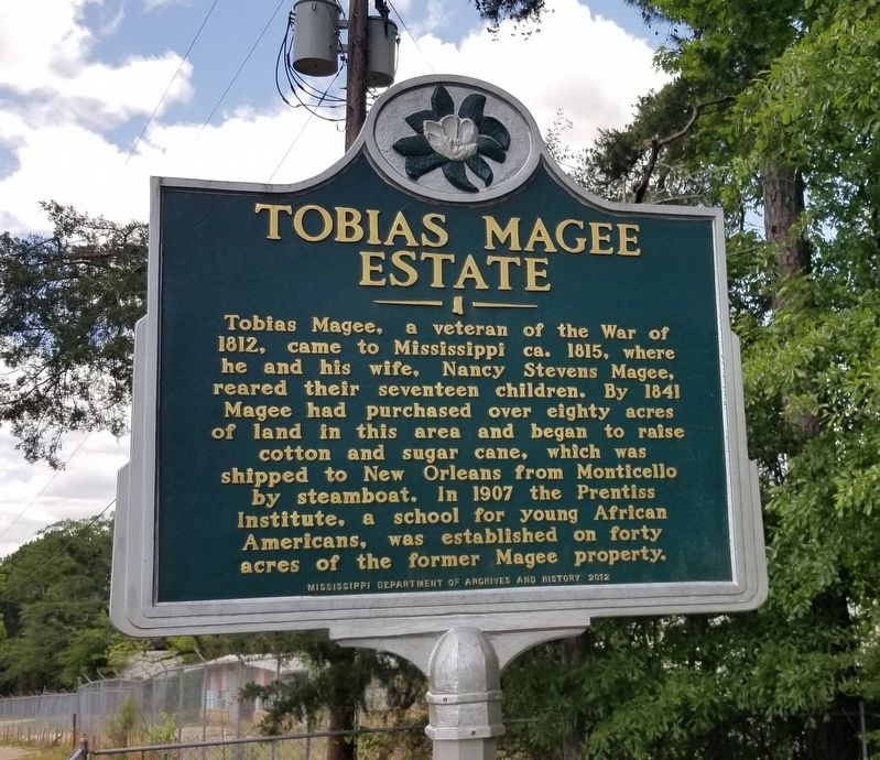
1. Tobias Magee Estate Marker
Tobias Magee, a veteran of the War of 1812, came to Mississippi ca. 1815, where he and his wife, Nancy Stevens Magee, reared their seventeen children. By 1841 Magee had purchased over eighty acres of land in this area and began to raise cotton and sugar cane, which was shipped to New Orleans from Monticello by steamboat. In 1907 the Prentiss Institute, a school for young African Americans, was established on forty acres of the former Magee property.
Erected 2012 by Mississippi Department of Archives and History.
Topics and series. This historical marker is listed in these topic lists: African Americans • Cemeteries & Burial Sites • Education • Settlements & Settlers. In addition, it is included in the Mississippi State Historical Marker Program series list. A significant historical year for this entry is 1812.
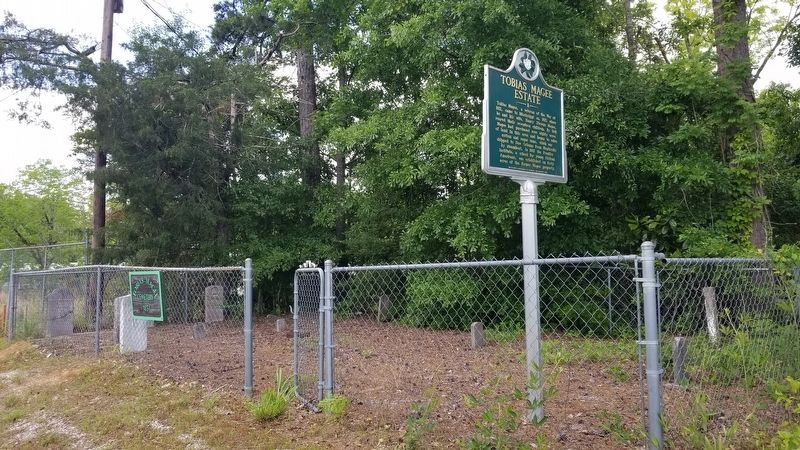
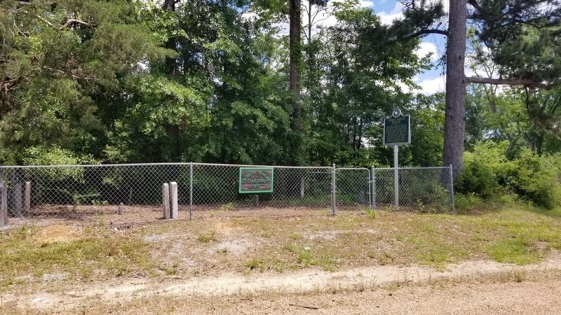
Location. 31° 35.532′ N, 89° 51.419′ W. Marker is near Prentiss, Mississippi, in Jefferson Davis County. It is on East St Stephens Road 0.1 miles east of J E Johnson Road, on the left when traveling east. The marker is located in the Tobias Magee Cemetery along the road. Touch for map. Marker is
this page online

Regionally, this marker is in Mississippi’s Pine Belt. It is also in the American South, specifically in the Deep South, and in the Piney Woods. Globally, it is in North America, a Gulf of Mexico state, the Western Hemisphere, the Western World, and the Anglosphere. Historically, it finds itself in what was once the territory of the Mississippian Culture, one of the Confederate States of America, and the Antebellum South.
Other nearby markers. At least 3 other markers are within 9 miles of this marker, measured as the crow flies: Prentiss Institute (about 500 feet away, measured in a direct line); Bethany Church (approx. 1.7 miles away); Old Silver Creek Baptist Church (approx. 8½ miles away).
Photographed by James Hulse, May 14, 2021
2. Tobias Magee Estate Marker
Photographed by James Hulse, May 14, 2021
3. The view of the Tobias Magee Estate Marker and cemetery from the road
Credits. This page was last revised on May 16, 2021. It was originally submitted on May 16, 2021, by James Hulse of Medina, Texas. This page has been viewed 757 times since then and 40 times this year. Photos: 1, 2, 3. submitted on May 16, 2021, by James Hulse of Medina, Texas.
