Lower Chanceford Township near Airville in York County, Pennsylvania — The American Northeast (Mid-Atlantic)
York Furnace Bridge
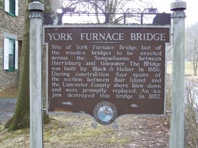
Photographed by William Pfingsten, March 1, 2008
1. York Furnace Bridge Marker
Pennsylvania Water & Power Co. * 1910
Erected by Pennsylvania Water & Power Co.
Topics. This historical marker is listed in these topic lists: Bridges & Viaducts • Waterways & Vessels. A significant historical year for this entry is 1856.
Location. 39° 52.494′ N, 76° 22.897′ W. Marker is near Airville, Pennsylvania, in York County. It is in Lower Chanceford Township. It is on Furnace Road (Pennsylvania Route 425) 0.1 miles north of Goram Road, on the right when traveling north. Touch for map. Marker is at or near this postal address: 1045 Furnace Rd, Airville PA 17302, United States of America. Touch for directions.

Regionally, this marker is in South-Central Pennsylvania, specifically in Pennsylvania Dutch Country, in the Susquehanna Valley, and in Greater Harrisburg.
this page online
Other nearby markers. At least 8 other markers are within walking distance of this marker: Susquehanna Canal (a few steps from this marker); Susquehanna and Tidewater Canal (a few steps from this marker); Susquehanna River Water Trail (approx. 0.2 miles away); The River's Ways (approx. 0.2 miles away); Indian Steps Cabin (approx. 0.9 miles away); Indian Steps (approx. 0.9 miles away); A Story Told by Our Totem Pole (approx. 0.9 miles away); Indigenous Peoples of the Susquehanna Valley (approx. 0.9 miles away). Touch for a list and map of all markers in Airville.
More about this marker. Another copy of this marker is on Bridge Valley Road in Pequea, Lancaster County, on the inland side of that road across from 656 Bridge Valley Road, and north of Lake Aldred Terrace intersection.
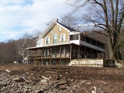
Photographed by William Pfingsten, March 1, 2008
2. Tucquan Club building with rubble from old bridge.
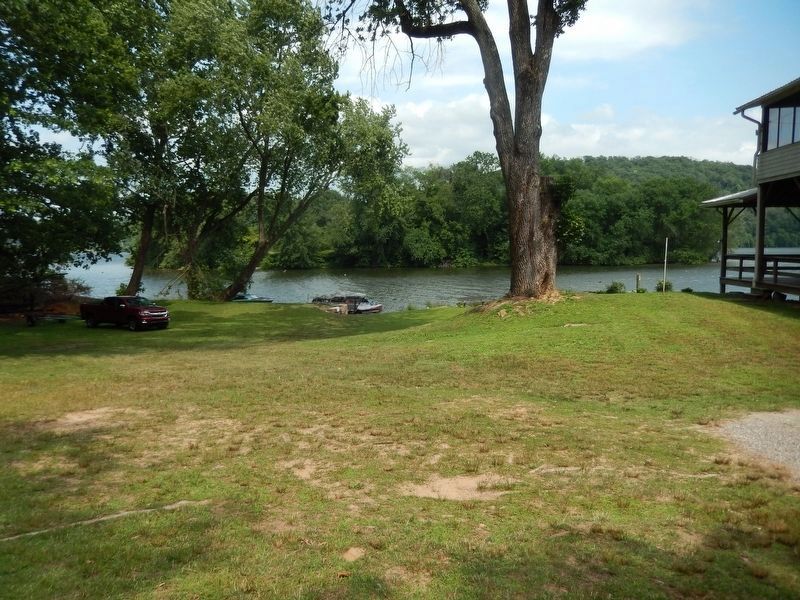
Photographed by Bill Pfingsten, July 16, 2020
3. York Furnace Bridge crossed river near this location.
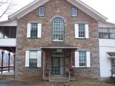
Photographed by William Pfingsten, March 1, 2008
4. Marker is in front of the Tucquan Club
Formerly a warehouse for the Susquehanna & Tidewater Canal.
Credits. This page was last revised on February 7, 2023. It was originally submitted on March 1, 2008, by Bill Pfingsten of Bel Air, Maryland. This page has been viewed 3,729 times since then and 70 times this year. Last updated on May 18, 2021, by Carl Gordon Moore Jr. of North East, Maryland. Photos: 1, 2. submitted on March 1, 2008, by Bill Pfingsten of Bel Air, Maryland. 3. submitted on July 18, 2020, by Bill Pfingsten of Bel Air, Maryland. 4. submitted on March 1, 2008, by Bill Pfingsten of Bel Air, Maryland.
