Lisbon in Columbiana County, Ohio — The American Midwest (Great Lakes)
West Point Vicinity
Surrender Site
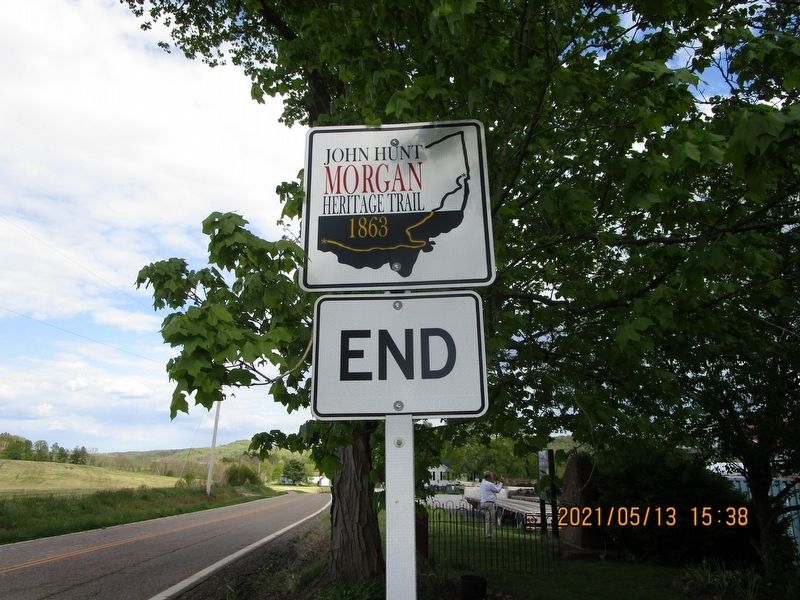
— John Hunt Morgan Heritage Trail —
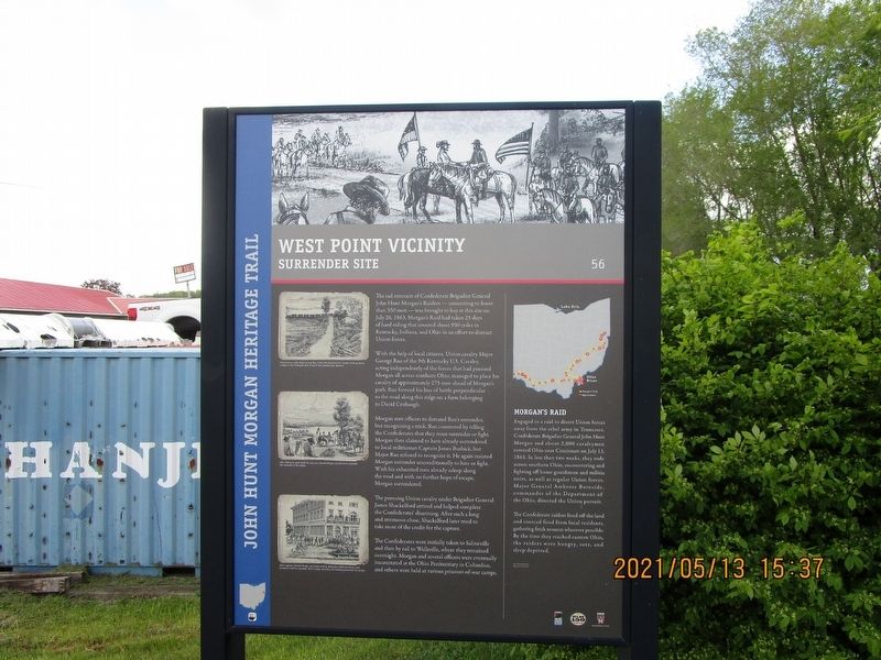
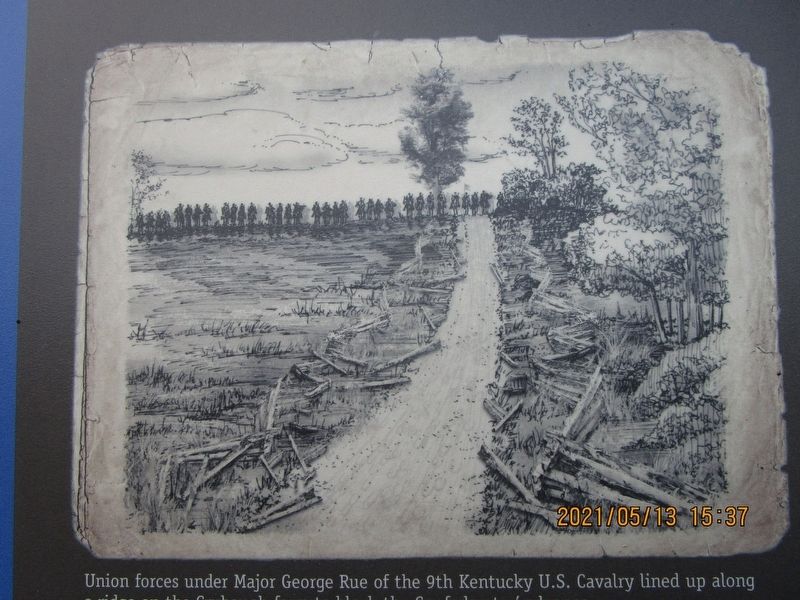
With the help of local citizens, Union cavalry Major George Rue of the 9th Kentucky U.S. Cavalry, acting independently of the forces that had pursued Morgan all across southern Ohio, managed to place his cavalry of approximately 275 men ahead of Morgan's path. Rue formed his line of battle perpendicular to the road along this ridge on a farm belonging to David Crubaugh.
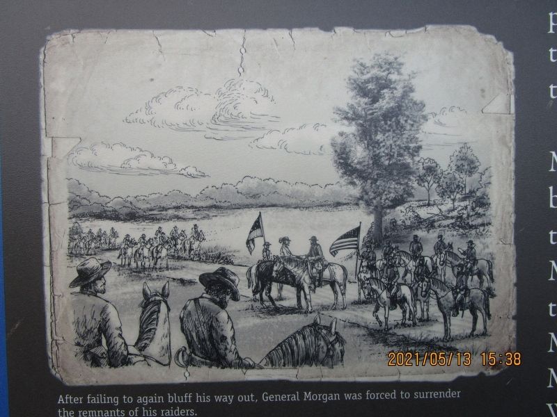
Morgan sent officers to demand Rue's surrender, but recognizing a trick, Rue countered by telling the Confederates that they must surrender or fight. Morgan then claimed to have already surrendered to local militiaman Captain James Burbick, but Major Ruc refused to recognize it. He again insisted Morgan surrender unconditionally to him or fight. With his exhausted men already asleep along the road and with no further hope of escape, Morgan surrendered.
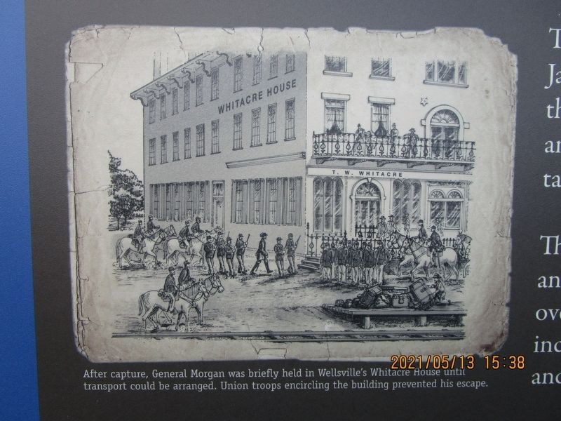
The pursuing Union cavalry under Brigadier General James Shackelford arrived and helped complete the Confederates' disarming. After such a long and strenuous chase, Shackelford later tried to take most of the credit for the capture. The Confederates were initially taken to Salineville and then by rail to Wellsville, where they remained overnight. Morgan and several officers were eventually incarcerated at the Ohio Penitentiary in Columbus, and others were held at various prisoner-of-war camps.
Picture 1 Caption:
Union forces under General George Rue of the 9th Kentucky U.S. Cavalry lined up along a ridge on the Crubaugh farm to block the Confederates' advance.
Picture 2 Caption:
After failing to again bluff his way out, General Morgan was forced to surrender the remnants of his raiders.
Picture 3 Caption:
After capture, General Morgan was briefly held in Wellville's Whitacre House until transport could be arranged. Union troops encircling the building prevented his escape.
Erected by Ohio Civil War Trail Commission, Civil War 150 Ohio, Ohio Historical Society. (Marker Number 56.)
Topics and series. This historical marker is listed in this topic list: War, US Civil. In addition, it is included in the John Hunt Morgan Heritage Trail in Ohio series list. A significant historical date for this entry is July 26, 1863.
Location. 40° 41.836′ N, 80° 44.631′ W. Marker is in Lisbon, Ohio, in Columbiana County. Marker is on Ohio Route 518, on the right when traveling east. Touch for map. Marker is in this post office area: Lisbon OH 44432, United States of America. Touch for directions.
Other nearby markers. At least 8 other markers are within 6 miles of this marker, measured as the crow flies. Morgan's Surrender (here, next to this marker); Gavers (approx. 0.4 miles away); Church Hill Road Bridge / Timber Covered Bridges (approx. 4.9 miles away); The Old Stone Tavern (approx. 5.3 miles away); Stone Lockplate (approx. 5.3 miles away); Lisbon (approx. 5.3 miles away); Columbiana County Courthouse (approx. 5.3 miles away); United States of America Congressional Medal of Honor Recipients (approx. 5.3 miles away). Touch for a list and map of all markers in Lisbon.
Credits. This page was last revised on January 23, 2023. It was originally submitted on May 18, 2021, by Gregory Roos of Cincinnati, Ohio. This page has been viewed 399 times since then and 26 times this year. Photos: 1, 2, 3, 4, 5. submitted on May 18, 2021, by Gregory Roos of Cincinnati, Ohio. • Bill Pfingsten was the editor who published this page.
