Buckhannon in Upshur County, West Virginia — The American South (Appalachia)
The West Virginia Strawberry Festival
Photographed by J. J. Prats, May 16, 2021
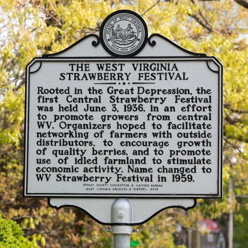
1. The West Virginia Strawberry Festival Marker
Rooted in the Great Depression, the first Central Strawberry Festival was held June 3, 1936, in an effort to promote growers from central WV. Organizers hoped to facilitate networking of farmers with outside distributors, to encourage growth of quality berries, and to promote use of idled farmland to stimulate economic activity. Name changed to WV Strawberry Festival in 1959.
Erected 2016 by Upshur County Convention & Visitors Bureau, and West Virginia Archives & History.
Topics. This historical marker is listed in these topic lists: Agriculture • Entertainment. A significant historical date for this entry is June 3, 1936.
Location. 38° 59.488′ N, 80° 13.794′ W. Marker is in Buckhannon, West Virginia, in Upshur County. It is at the intersection of South Kanawha Street (West Virginia Route 20) and West Lincoln Way, on the right when traveling south on South Kanawha Street. Touch for map. Marker is at or near this postal address: 37 S Kanawha Street, Buckhannon WV 26201, United States of America. Touch for directions.

Regionally, this marker is in North Central West Virginia. It is also in the American South,
this page online
Other nearby markers. At least 8 other markers are within walking distance of this marker: David S. Pinnell (within shouting distance of this marker); Horseshoe History & Rules (about 500 feet away, measured in a direct line); The Bicentennial Sycamore Tree (about 500 feet away); Buckhannon's Bicentennial Boulder (about 500 feet away); a different marker also named Horseshoe History & Rules (about 500 feet away); In Honor of Jerry Kimble and Jim Farrell (about 500 feet away); Oscar Guy McCue (about 600 feet away); Stump Lane (about 700 feet away). Touch for a list and map of all markers in Buckhannon.
Photographed by J. J. Prats, May 16, 2021
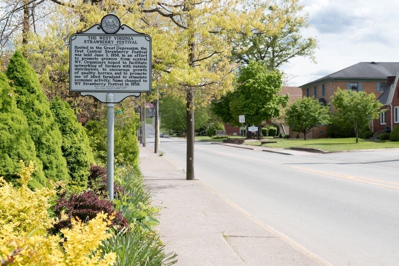
2. The West Virginia Strawberry Festival Marker
Credits. This page was last revised on December 31, 2022. It was originally submitted on May 18, 2021, by J. J. Prats of Powell, Ohio. This page has been viewed 559 times since then and 43 times this year. Photos: 1, 2. submitted on May 18, 2021, by J. J. Prats of Powell, Ohio.
