Near Richmond in Madison County, Kentucky — The American South (East South Central)
Route of Advance
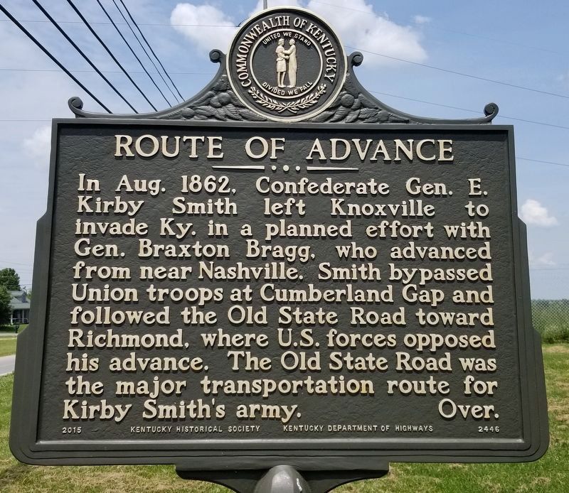
In Aug. 1862, Confederate Gen. E. Kirby Smith left Knoxville to invade Ky. in a planned effort with Gen. Braxton Bragg, who advanced from near Nashville. Smith bypassed Union troops at Cumberland Gap and followed the Old State Road toward Richmond, where U.S. forces opposed his advance. The Old State Road was the major transportation route for Kirby Smith's army. Over.
Reverse:
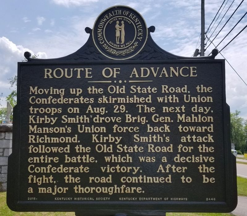
Moving up the Old State Road, the Confederates skirmished with Union troops on Aug. 29. The next day, Kirby Smith drove Brig. Gen. Mahlon Manson's Union force back toward Richmond. Kirby Smith's attack followed the Old State Road for the entire battle, which was a decisive Confederate victory. After the fight, the road continued to be a major thoroughfare.
Erected 2015 by Kentucky Historical Society and Kentucky Department of Highways. (Marker Number 2446.)
Topics. This historical marker is listed in this topic list: War, US Civil. A significant historical month for this entry is August 1862.
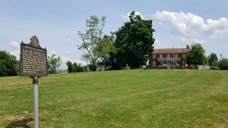
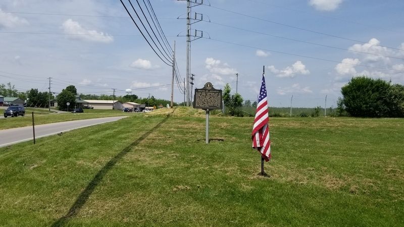
Location. 37° 41.069′ N, 84° 15.532′ W. Marker is near Richmond, Kentucky, in Madison County. Marker is at the intersection of Battlefield Memorial Highway (U.S. 421) and Berea Road (U.S. 25), on the right when traveling north on Battlefield Memorial Highway. The marker is located in front of the Battle of Richmond Visitor Center. Touch for map. Marker is at or near this postal address: 101 Battlefield Memorial Highway, Richmond KY 40475, United States of America. Touch for directions.
Other nearby markers. At least 8 other markers are within walking distance of this marker. Fight at Rogersville (within shouting distance of this marker); Sturdy, Accurate and Reliable (within shouting distance of this marker); Battle of Richmond Masonic Memorial (within shouting distance of this marker); Battle of Richmond (within shouting distance of this marker); An Inexperienced Army (within shouting distance of this marker); Reforming The Union Line (within shouting distance of this marker); Confederates In Rogersville (within shouting distance of this marker); Engagement At Bobtown (within shouting distance of this marker). Touch for a list and map of all markers in Richmond.
Credits. This page was last revised on May 21, 2021. It was originally submitted on May 20, 2021, by James Hulse of Medina, Texas. This page has been viewed 197 times since then and 10 times this year. Photos: 1, 2, 3, 4. submitted on May 20, 2021, by James Hulse of Medina, Texas.


