Fairfax, Virginia — The American South (Mid-Atlantic)
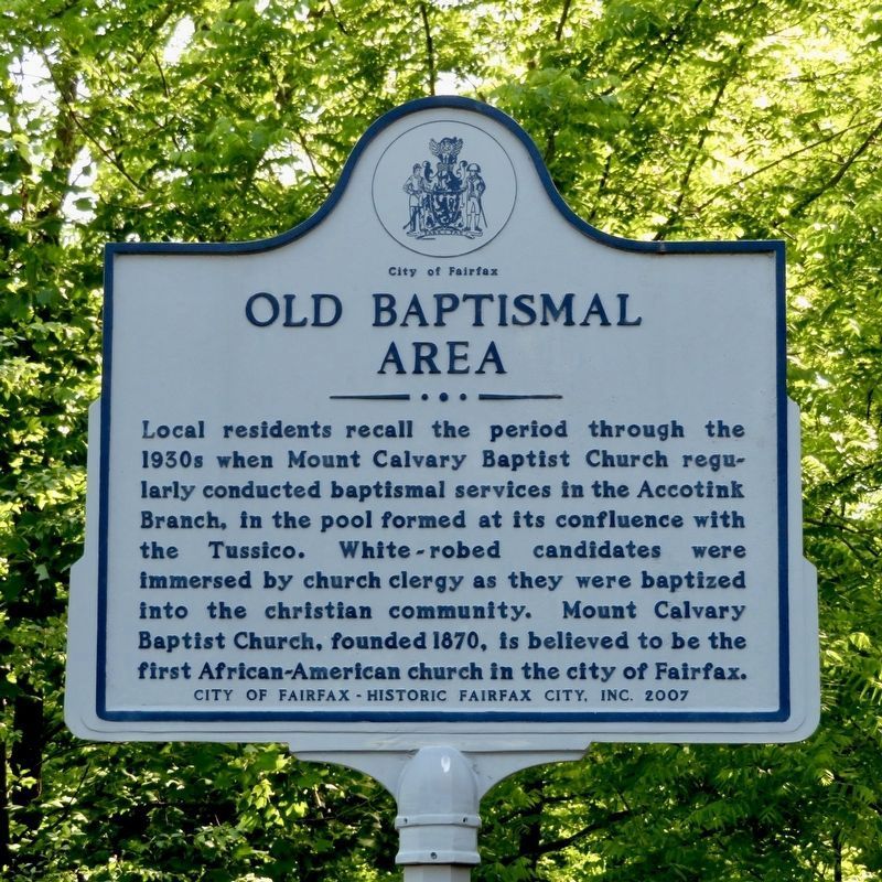
Old Baptismal Area
Erected 2007 by City of Fairfax - Historic Fairfax City, Inc.
Topics. This historical marker is listed in these topic lists: African Americans • Churches & Religion. A significant historical year for this entry is 1870.
Location. 38° 51.032′ N, 77° 18.449′ W. Marker is in Fairfax, Virginia. Marker can be reached from Chain Bridge Road (State Highway 123) south of Kenmore Drive, on the right when traveling north. Touch for map. Marker is in this post office area: Fairfax VA 22030, United States of America. Touch for directions.
Other nearby markers. At least 8 other markers are within walking distance of this marker. Dr. William Gunnell House (approx. 0.2 miles away); Moore House (approx. ¼ mile away); Mosby (approx. ¼ mile away); Efe Quality House (approx. ¼ mile away); Gen. Corcoran (approx. ¼ mile away); Ford Building (approx. ¼ mile away); Old Fairfax Jail (approx. 0.3 miles away); Confederate Memorial (approx. 0.3 miles away). Touch for a list and map of all markers in Fairfax.
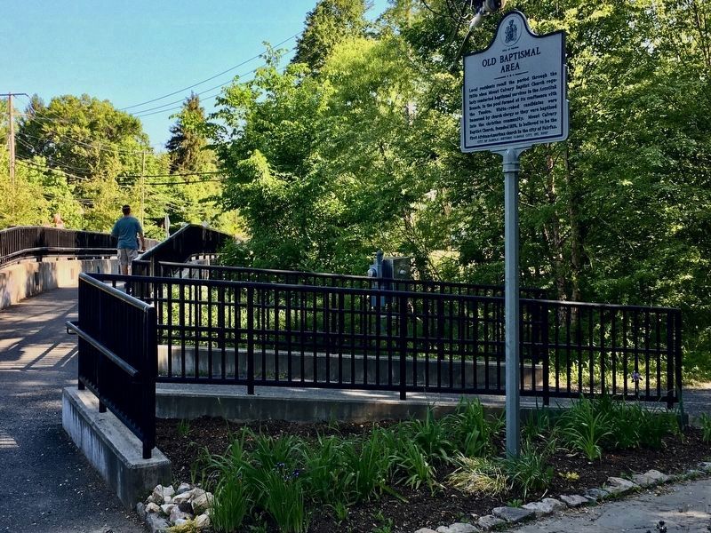
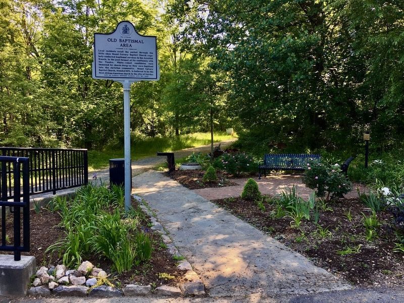
More about this marker. The marker is in Bells Bird Sanctuary Park, near where Accotink Creek flows under Chain Bridge Road (Route 123).

Photographed By Craig Swain, February 7, 2008
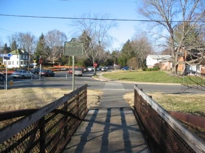
4. Old Baptismal Area marker at its original location
That old location was at the corner of Chain Bridge Road and Kenmore Drive. The bridge shown here no longer exists and the marker is now at the other end of the new pedestrian bridge, further into the park.
Credits. This page was last revised on May 22, 2021. It was originally submitted on February 7, 2008, by Craig Swain of Leesburg, Virginia. This page has been viewed 2,394 times since then and 48 times this year. Last updated on May 21, 2021, by Patricia Strat of Oakton, Virginia. Photos: 1, 2, 3. submitted on May 21, 2021, by Patricia Strat of Oakton, Virginia. 4. submitted on February 7, 2008, by Craig Swain of Leesburg, Virginia. • J. Makali Bruton was the editor who published this page.
Editor’s want-list for this marker. Photo of Mount Calvary Baptist Church • Can you help?


