Knoxville in Washington County, Maryland — The American Northeast (Mid-Atlantic)
Fort Duncan
Invasion Stalled
| — | Early's 1864 Attack on Washington | — |
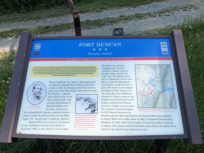
In June 1864, Confederate Gen. Robert E. Lee sent Gen. Jubal A. Early's corps from the Richmond battlefields to the Shenandoah Valley to counter Union Gen. David Hunter's army. After driving Hunter into West Virginia, Early invaded Maryland to attack Washington, D.C., draw Union troops from Richmond, and release Confederate prisoners held at Point Lookout. On July 9, Early ordered Gen. Bradley T. Johnson's cavalry brigade eastward to free the prisoners. The next day, Johnson sent Maj. Henry Gilmer's regiment to raid the Baltimore area. Union Gen. Lew Wallace delayed Early at the Battle of Monocacy on July 9. Federal reinforcements soon strengthened the capital's defenses. Early attacked there near Fort Stevens on July 11-12 and then withdrew to the Shenandoah Valley with the Federals in pursuit. He stopped them at Cool Spring on July 17-18. Despite failing to take Washington or free prisoners, Early succeeded in diverting Federal resources.
When Confederate Gen. Jubal A. Early approached the defenses of Harpers Ferry with his main force on July 4, 1864, the Federals greeted him with fireworks. They fired real artillery
this page online
Harpers Ferry was a threat to the success of any Confederate invasion of the North. In September 1862, as Gen. Robert E. Lee invaded Maryland in the Antietam Campaign, Gen. Thomas J. "Stonewall" Jackson captured the place easily to protect the army's rear. The defensive lines were so rudimentary that he was able to occupy the high ground and threaten to shell the town to pieces. The result was the largest surrender of Union troops in the war. Soon after the Confederates retreated to Virginia, however, the Federals constructed works on the heights, including Fort Duncan, that were unlikely to be overcome. The engineers selected this point for Fort Duncan because of its elevation and the right-angle bend in the Potomac River that protected its flanks. When Lee invaded again in 1863, he bypassed Harpers Ferry altogether. In

Photographed by Devry Becker Jones (CC0), June 29, 2024
2. Fort Duncan Marker
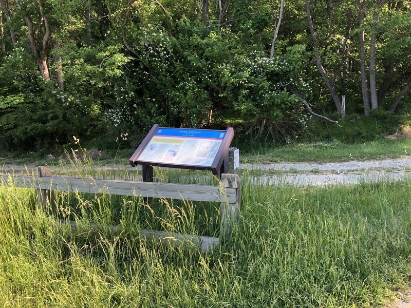
The marker has weathered but remains legible.
Erected by Maryland Civil War Trails.
Topics and series. This historical marker is listed in these topic lists: Forts and Castles • War, US Civil. In addition, it is included in the Maryland Civil War Trails series list. A significant historical month for this entry is June 1864.
Location. 39° 20.477′ N, 77° 44.584′ W. Marker is in Knoxville, Maryland, in Washington County. It is on Pleasantville Road 0.3 miles west of Pleasantville Road, on the left when traveling west. Touch for map. Marker is at or near this postal address: 18027 Pleasantville Rd, Knoxville MD 21758, United States of America. Touch for directions.

Regionally, this marker is in Western Maryland. It is also in the American Mid-Atlantic, in Appalachia, and specifically in Northern Appalachia. Globally, it is in North America, the Western Hemisphere, the Western World, and the Anglosphere. Historically, it finds itself in what was once one of the original Thirteen Colonies.
Other nearby markers. At
Another marker is no longer nearby. Lock 34, Harpers Ferry (was approx. 0.6 miles away but has been permanently removed).
Credits. This page was last revised on June 29, 2024. It was originally submitted on May 21, 2021, by Devry Becker Jones of Washington, District of Columbia. This page has been viewed 1,756 times since then and 156 times this year. Photos: 1. submitted on May 21, 2021, by Devry Becker Jones of Washington, District of Columbia. 2. submitted on June 29, 2024, by Devry Becker Jones of Washington, District of Columbia. 3. submitted on May 21, 2021, by Devry Becker Jones of Washington, District of Columbia.
