Near Bolivar in Jefferson County, West Virginia — The American South (Appalachia)
School House Ridge, Harpers Ferry, W.V.
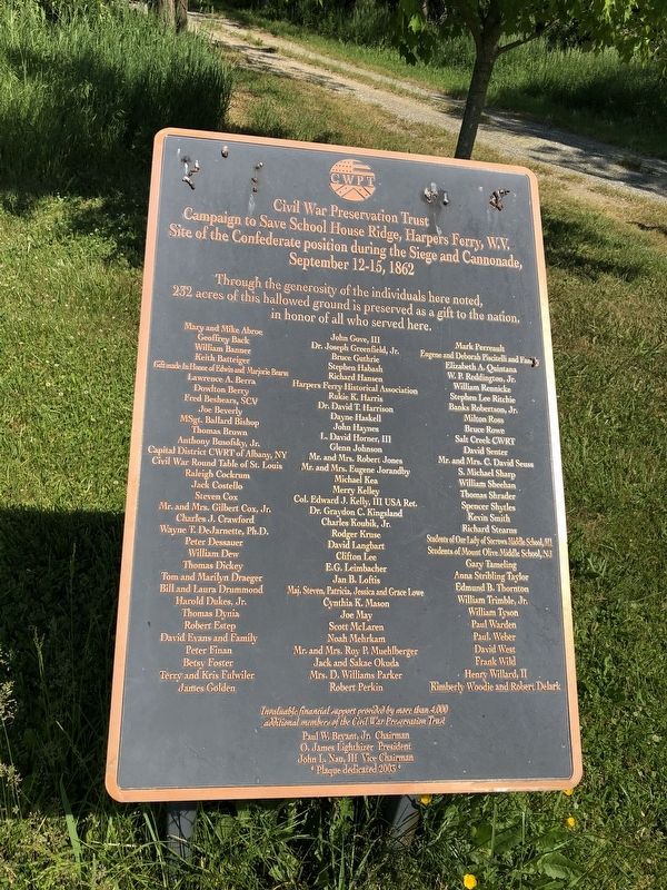
Photographed by Devry Becker Jones (CC0), May 21, 2021
1. School House Ridge, Harpers Ferry, W.V. Marker
Erected 2003 by Civil War Preservation Trust.
Topics. This memorial is listed in this topic list: War, US Civil. A significant historical date for this entry is September 12, 1862.
Location. 39° 19.534′ N, 77° 46.061′ W. Memorial is near Bolivar, West Virginia, in Jefferson County. It is on Bakerton Road (County Road 27) 0.4 miles north of Boxer Way, on the left when traveling north. Touch for map. Memorial is at or near this postal address: 874 Bakerton Rd, Harpers Ferry WV 25425, United States of America. Touch for directions.

Regionally, this memorial is in the Washington Metropolitan Area and in the Eastern Panhandle. It is also in the American South, specifically in the Upper South, in Appalachia, and specifically in Northern Appalachia. Globally, it is in North America, the Western Hemisphere, the Western World, and the Anglosphere. Historically, it finds itself in what was once the territory of the Mississippian Culture and also the Antebellum South.
Other nearby markers. At least 8 other markers are within walking distance
this page online
Another marker is no longer nearby. The First Line of Defense: The Union Skirmish Line (was approx. 0.2 miles away but has been replaced with another marker now near it).
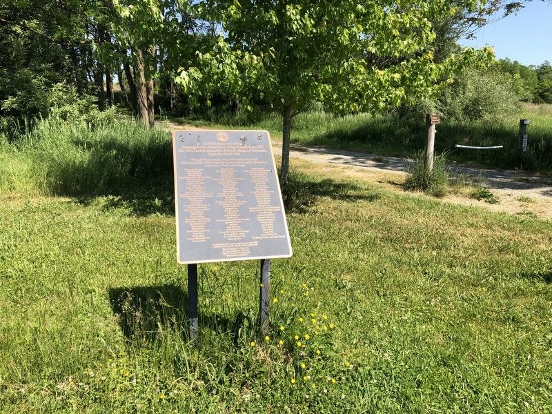
Photographed by Devry Becker Jones (CC0), May 21, 2021
2. School House Ridge, Harpers Ferry, W.V. Marker
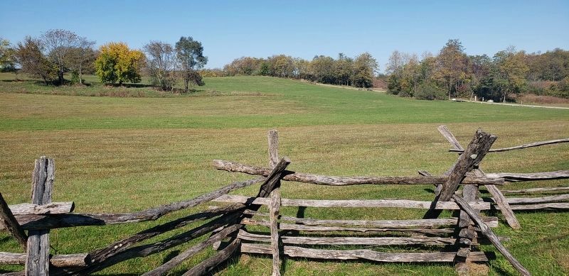
Photographed by Bradley Owen, October 22, 2020
3. School House Ridge North
The marker is included with a cluster of others at the far right of the photo.
Credits. This page was last revised on May 23, 2021. It was originally submitted on May 21, 2021, by Devry Becker Jones of Washington, District of Columbia. This page has been viewed 434 times since then and 33 times this year. Photos: 1, 2. submitted on May 21, 2021, by Devry Becker Jones of Washington, District of Columbia. 3. submitted on May 21, 2021, by Bradley Owen of Morgantown, West Virginia. 4. submitted on May 21, 2021, by Devry Becker Jones of Washington, District of Columbia.
