Near Burkittsville in Frederick County, Maryland — The American Northeast (Mid-Atlantic)
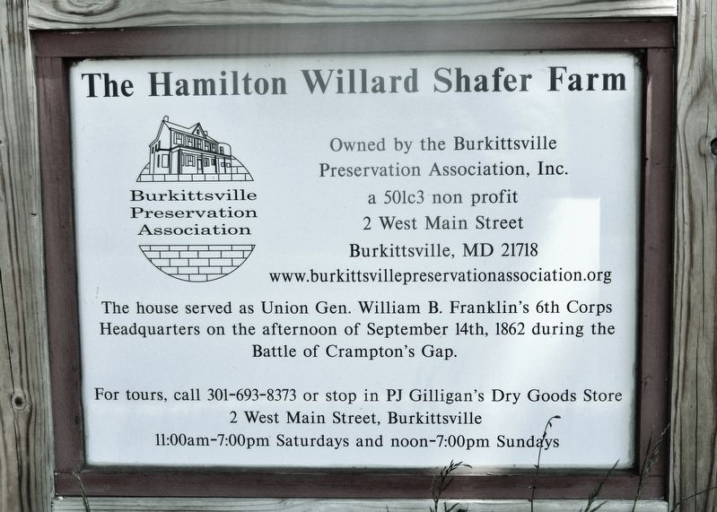
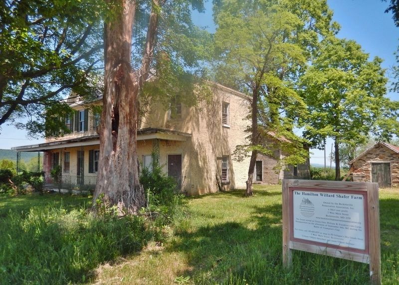
The Hamilton Willard Shafer Farm
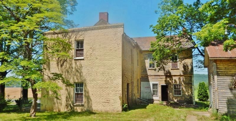
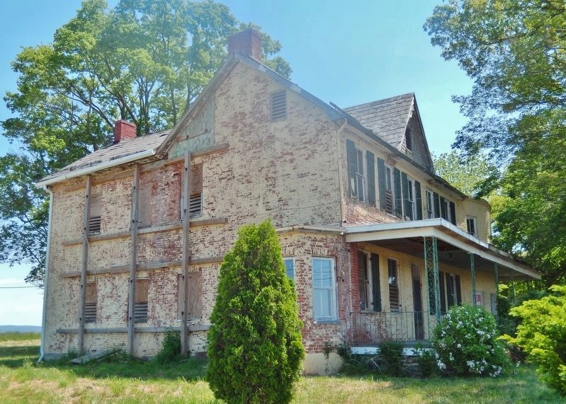
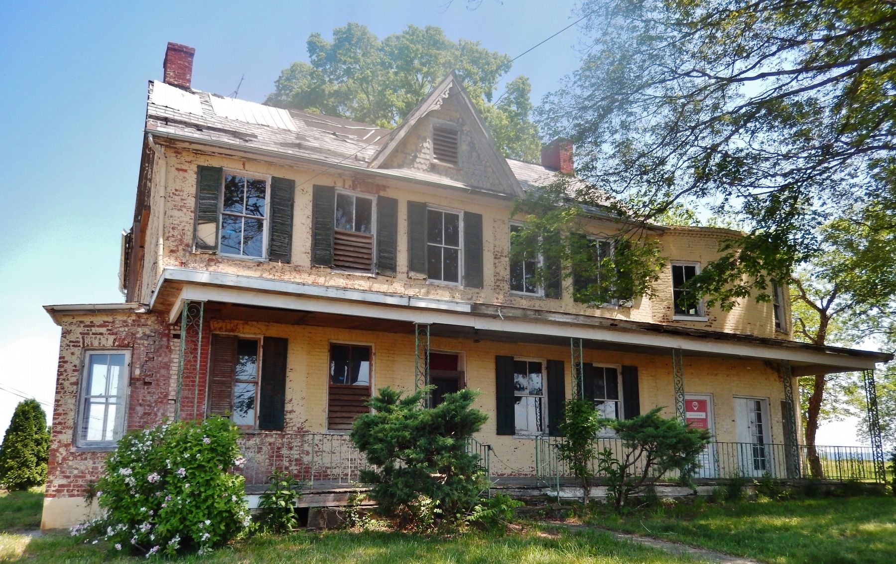
The house served as Union Gen. William B. Franklin's 6th Corps Headquarters on the afternoon of September 14th, 1862 during the Battle of Crampton's Gap.
Owned by the Burkittsville Preservation Association, Inc. a 501c3 non-profit,
2 West Main Street, Burkittsville, MD 21718
For tours, call 301-693-8373 or stop in PJ Gilligan's Dry Goods Store,
2 West Main Street, Burkittsville
11:00am-7:00pm Saturdays and noon-7:00pm Sunday.
Topics. This historical marker is listed in these topic lists: Notable Buildings • War, US Civil. A significant historical date for this entry is September 14, 1862.
Location. 39° 22.921′ N, 77° 36.798′ W. Marker is near Burkittsville, Maryland, in Frederick County. Marker is on Gapland Road just east of Catholic Church Road, on the right when traveling west. Marker is located near the southeast corner of the farm house. Touch for map. Marker is at or near this postal address: 1606 Gapland Road, Burkittsville MD 21718, United States of America. Touch for directions.
Other nearby markers. At least 8 other markers are within 2 miles of this marker, measured as the crow flies. Burkittsville (approx. 1.2 miles away); Cobbled Stagecoach Stop (approx. 1.2 miles away); Confederate Forces (approx. 1.6 miles away); Forest of Needwood (approx. 1.6 miles away); Burkittsville: Henry Burkitt’s Town (approx. 1.9 miles away); Chew’s Ashby Artillery (approx. 1.9 miles away); “Sealed With Their Lives” (approx. 1.9 miles away); The Confusion of Battle (approx. 2 miles away). Touch for a list and map of all markers in Burkittsville.
Regarding The Hamilton Willard Shafer Farm. Contributing property, Crampton's Gap Historic District, National Register of Historic Places #10000576.
Also see . . .
1. Crampton's Gap Historic District. Maryland Historical Trust, Maryland's National Register Properties website entry:
During the September 14, 1862 Battle of South Mountain the secondary push of Union troops took place over the road leading over the mountain at Crampton's Gap and the adjoining woodlots and fields. The area was predominantly rural during the Civil War; the town of Burkittsville was the largest town in the area. (Submitted on May 21, 2021, by Cosmos Mariner of Cape Canaveral, Florida.)
2. Preservation of A Local Landmark. Burkittsville News website entry:
General William B. Franklin used this site as his headquarters during the Battle of Crampton's Gap; more than 4,000 of his troops were held in reserve on this land. The house is now included in the "Crampton's Gap Historic District". In addition, the site is surrounded by preserved farmland.
(Submitted on May 21, 2021, by Cosmos Mariner of Cape Canaveral, Florida.)
3. Adaptive Reuse of the Hamilton Willard Shafer Farm. Preservation Maryland website entry:
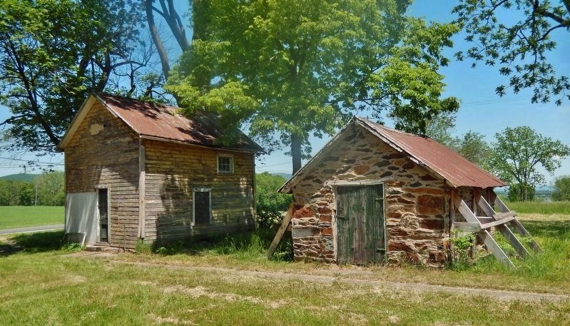
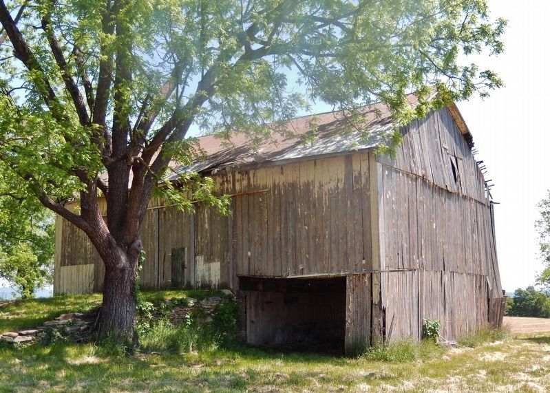
Just outside of Burkittsville, a well-preserved small historic community in western Frederick County, lies the Shafer Farm, the site of a Union headquarters during the Civil War Battle of South Mountain in 1862. The farm house, barn, and out buildings have been vacant for nearly 20 years and have suffered as a result of deferred maintenance. With Preservation Maryland’s assistance, the long term goal for the Shafer property to act as a heritage tourism anchor may finally be achievable. (Submitted on May 21, 2021, by Cosmos Mariner of Cape Canaveral, Florida.)
Credits. This page was last revised on February 8, 2024. It was originally submitted on May 21, 2021, by Cosmos Mariner of Cape Canaveral, Florida. This page has been viewed 601 times since then and 73 times this year. Photos: 1, 2, 3, 4, 5. submitted on May 21, 2021, by Cosmos Mariner of Cape Canaveral, Florida. 6. submitted on May 22, 2021, by Cosmos Mariner of Cape Canaveral, Florida. 7. submitted on May 21, 2021, by Cosmos Mariner of Cape Canaveral, Florida.
