Unison in Loudoun County, Virginia — The American South (Mid-Atlantic)
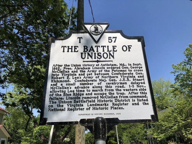
The Battle of Unison
Erected 2013 by Department of Historic Resources. (Marker Number T-57.)
Topics and series. This historical marker is listed in this topic list: War, US Civil. In addition, it is included in the Former U.S. Presidents: #16 Abraham Lincoln, and the Virginia Department of Historic Resources (DHR) series lists. A significant historical month for this entry is September 1862.
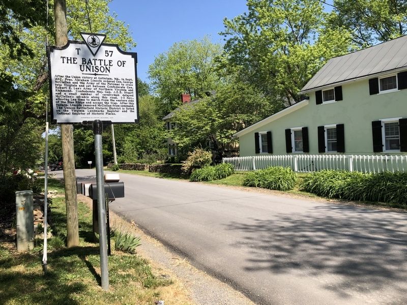
Location. 39° 2.126′ N, 77° 47.43′ W. Marker is in Unison, Virginia, in Loudoun County. Marker is on Unison Road (Virginia Route 630) just west of Virginia Route 736, on the left when traveling east. Touch for map. Marker is at or near this postal address: 21075 Unison Road, Round Hill VA 20141, United States of America. Touch for directions.
Other nearby markers. At least 8 other markers are within 4 miles of this marker, measured as the crow flies. A different marker also named Battle of Unison (approx. 0.2 miles away); History of St. Louis (approx. 1.7 miles away); Ebenezer Churches (approx. 1.9 miles away); Bushrod Lynn (approx. 2.2 miles away); Huntland (approx. 2.3 miles away); a different marker also named Battle of Unison (approx. 3.1 miles away); Round Oak Rag Apple Elevation (approx. 3.1 miles away); Bacon Fort (approx. 3.2 miles away).

Photographed By Devry Becker Jones (CC0), May 21, 2021
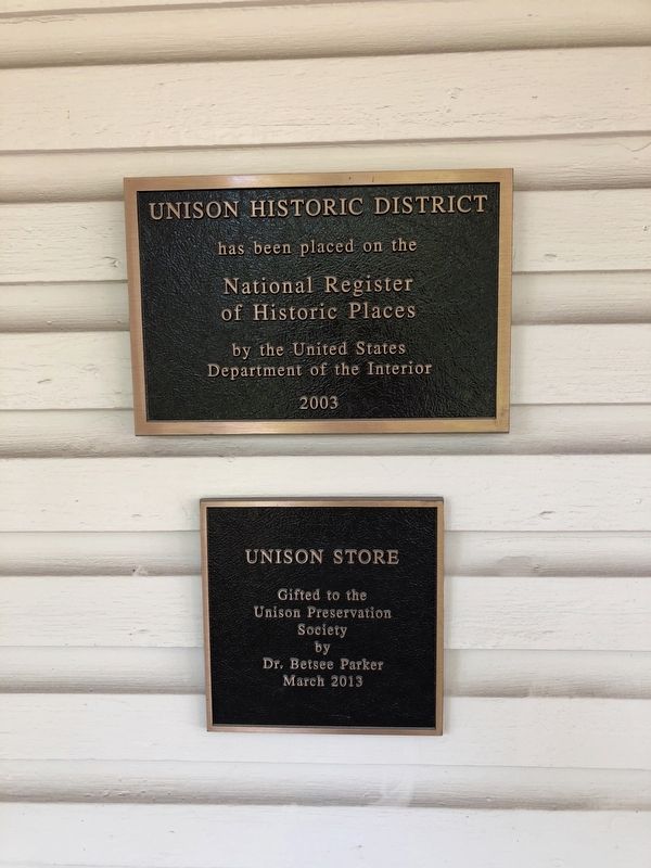
3. National Register of Historic Places plaque on a nearby building
Credits. This page was last revised on May 22, 2021. It was originally submitted on May 22, 2021, by Devry Becker Jones of Washington, District of Columbia. This page has been viewed 194 times since then and 22 times this year. Photos: 1, 2, 3. submitted on May 22, 2021, by Devry Becker Jones of Washington, District of Columbia.

