Cold Spring Harbor in Suffolk County, New York — The American Northeast (Mid-Atlantic)
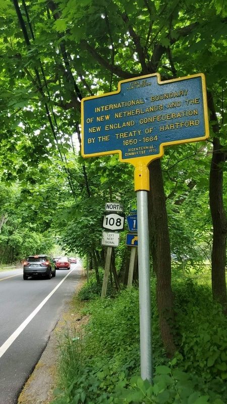
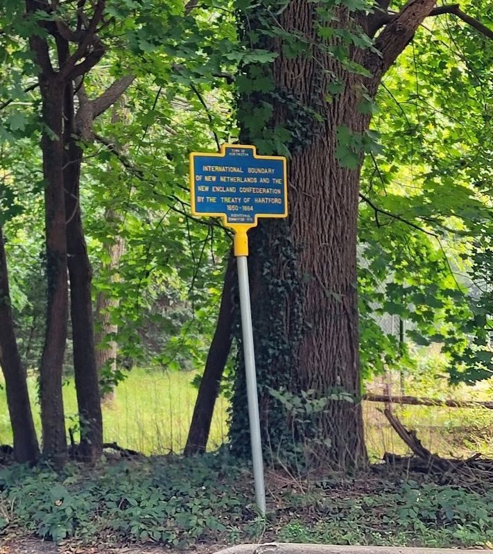
International Boundary
of New Netherlands and the
New England Confederation
by the Treaty of Hartford
1650 – 1664
Erected 1976 by Huntington Bicentennial Committee.
Topics. This historical marker is listed in these topic lists: Anthropology & Archaeology • Exploration • Settlements & Settlers. A significant historical year for this entry is 1660.
Location. 40° 50.094′ N, 73° 27.273′ W. Marker is in Cold Spring Harbor, New York, in Suffolk County. Marker is at the intersection of Woodbury Road and Uphill Lane, on the left when traveling west on Woodbury Road. Touch for map. Marker is in this post office area: Cold Spring Harbor NY 11724, United States of America. Touch for directions.
Other nearby markers. At least 8 other markers are within 2 miles of this marker, measured as the crow flies. Col. George Washington Brush (approx. 1.2 miles away); West Hills School (approx. 1.7 miles away); Mountain Mist Spring (approx. 1.8 miles away); Peace and Plenty Inn (approx. 1.9 miles away); Nathaniel Whitman (approx. 2 miles away); U.S. Custom House (approx. 2 miles away); Site of Stone Fort (approx. 2 miles away); Owl's Cote (approx. 2 miles away). Touch for a list and map of all markers in Cold Spring Harbor.
Credits. This page was last revised on October 5, 2021. It was originally submitted on May 23, 2021, by Jordan Romano of Kings Park, New York. This page has been viewed 388 times since then and 43 times this year. Photos: 1. submitted on May 23, 2021, by Jordan Romano of Kings Park, New York. 2. submitted on September 28, 2021, by Jean King of Huntington Station, New York. • Michael Herrick was the editor who published this page.

