Central Park West Historic District in Manhattan in New York County, New York — The American Northeast (Mid-Atlantic)
Reservoir Keepers
Seneca Village Community
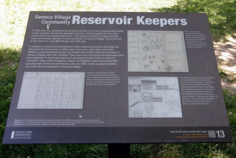
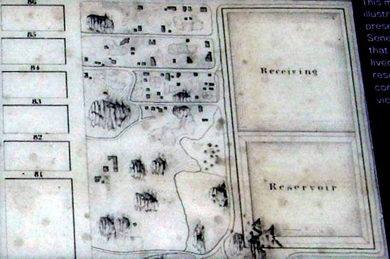
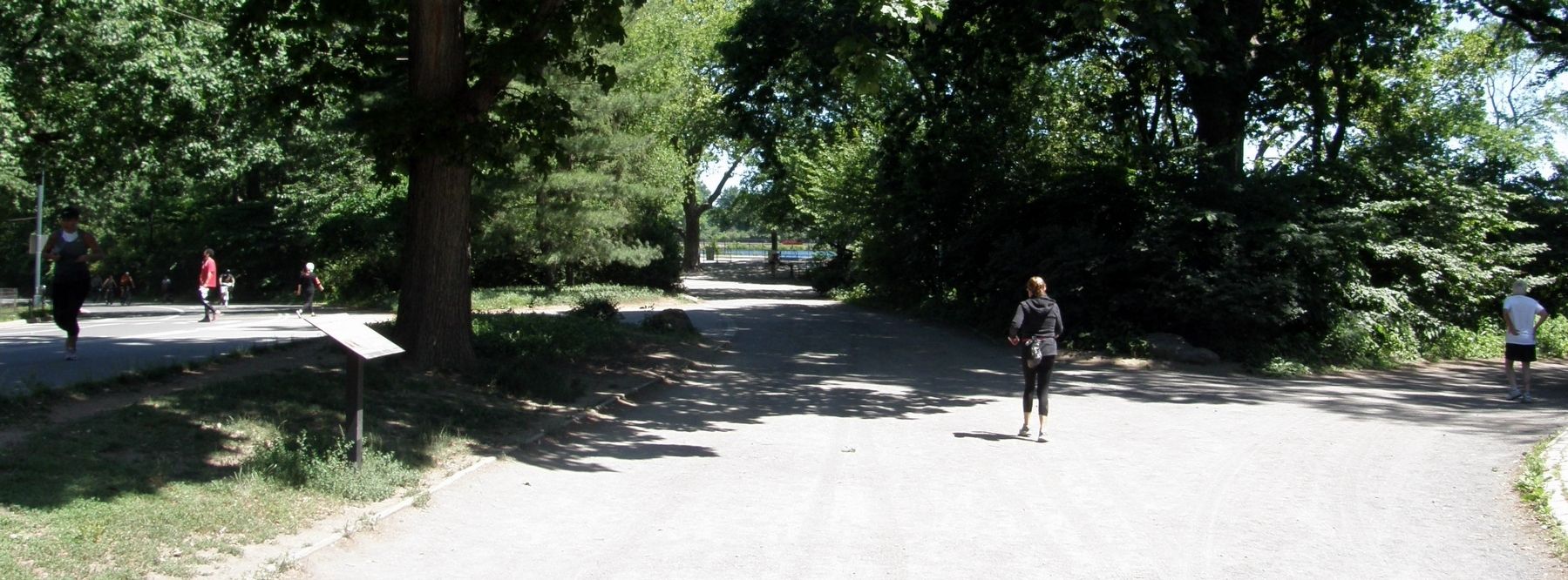
In 1842, the city completed construction of one of its most consequential public works project, the Croton Aqueduct system, which supplied the city with fresh water from upstate New York. The system included a large receiving reservoir directly adjacent to the community of Seneca Village. The north end of the reservoir was 86th Street, near this sign.
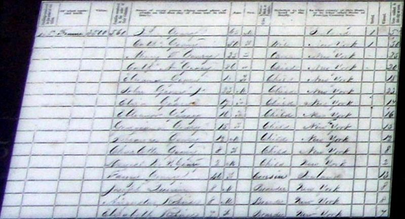
In addition to the physical presence of this massive structure, the reservoir impacted the community in other ways. Two men, John Geary and John Wallace, were employed by the city to take care of the reservoir and lived in Seneca Village with their families. They were part of a group of employees who lived adjacent to important pieces of aqueduct infrastructure in order to maintain it. Both Irish immigrants, Geary and Wallace were also part of the growing Irish-American community who, by 1855, made up approximately one-third of the population of Seneca Village.
Erected 2020 by Central Park Conservancy.
Topics. This historical marker is listed in these topic lists: Parks & Recreational Areas • Settlements & Settlers. A significant historical year for this entry is 1842.
Location. 40° 47.035′ N, 73° 58.055′ W. Marker is in Manhattan, New York, in New York County. It is in the Central Park West Historic District. Marker can be reached from West 85th Street east of Central Park West. Touch for map. Marker is at or near this postal address: Central Park, New York NY 10024, United States of America. Touch for directions.
Other nearby markers. At least 8 other markers are within walking distance of this marker. AME Zion Church (within shouting distance of this marker); Gardens (within shouting distance of this marker); Geology (within shouting distance of this marker); Andrew Williams (within shouting distance of this marker); African Union Church (within shouting distance of this marker); Seneca Village (within shouting distance of this marker); Seneca Village Community (about 300 feet away, measured in a direct line); Seneca Village Landscape (about 300 feet away). Touch for a list and map of all markers in Manhattan.
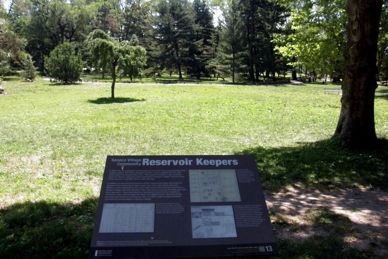
Regarding Reservoir Keepers. Like most Seneca Village sites, there are no physical remains or representations to be had.
Also see . . .
1. Seneca Village. Wikipedia entry (Submitted on May 23, 2021, by Larry Gertner of New York, New York.)
2. Seneca Village Site. Central Park Conservancy website entry:
Links to several related sub-topics (Submitted on May 23, 2021, by Larry Gertner of New York, New York.)
3. Seneca Village, New York City. National Park Service entry (Submitted on May 23, 2021, by Larry Gertner of New York, New York.)
Photographed By Larry Gertner, June 17, 2020
5. Inset
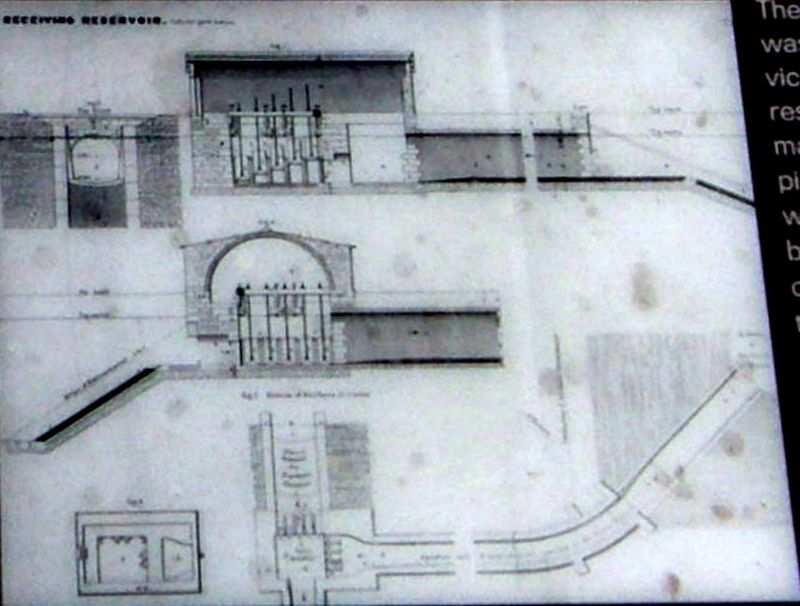
The gatehouse, depicted in this illustration, was originally located in this general vicinity, near the northwest corner of the reservoir. This important component marked the place where the major inflow pipes entered the reservoir. These pipes were installed along what would have been 85th Street; distinctive manhole covers, labeled ”Croton Aqueduct Dept” on the path on the north side of the West 85th Street entrance still mark the presence of this infrastructure.
Credits. This page was last revised on January 31, 2023. It was originally submitted on May 23, 2021, by Larry Gertner of New York, New York. This page has been viewed 175 times since then and 10 times this year. Photos: 1, 2, 3, 4, 5, 6. submitted on May 23, 2021, by Larry Gertner of New York, New York.
