New Albany in Franklin County, Ohio — The American Midwest (Great Lakes)
Disposal of Land in Plain Township
Inscription.
Side A:
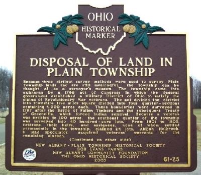
Because three distinct survey methods were used to survey Plain Township lands and are still meaningful, the township can be thought of as a surveyor's museum. The township came into existence by a 1796 act of Congress in which the federal government established a Military District of Ohio to satisfy the claims of Revolutionary War veterans. The act divided the district into townships five miles square divided into four quarter-sections containing 4,000 acres each. These boundaries were surveyed in 1797 after the Battle of Fallen Timbers and the subsequent Treaty of Greenville, which forced Indian removal. Because a veteran was entitled to 100 acres, the southeast quarter of the township was surveyed into 40 hundred-acre lots. From 1801 to 1805, veterans, their heirs, and assignees, none of whom settled permanently in the township, claimed 24 lots. Abijah Holbrook, a land speculator, acquired veterans' warrants for the remaining sixteen. (Continued on other side)
Side B:
(Continued from other side)
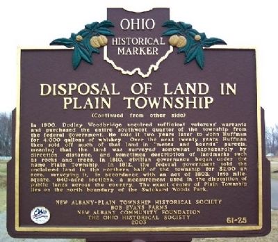
In 1800, Dudley Woodbridge acquired sufficient veterans' warrants and purchased the entire southwest quarter of the township from the federal government. He sold it two years later to John Huffman for 4,000 gallons of whiskey. Over the next twenty years Huffman then sold off much of that land in “metes and bounds” parcels, meaning that the land was surveyed somewhat haphazardly by direction, distance, and sometimes description of landmarks such as rocks and trees. In 1810, civilian governance began under the name Plain Township. In 1812, the federal government sold the unclaimed land in the northern half of the township for $2.00 an acre, surveying it, in accordance with an act of 1803, into mile-square, 640-acre sections, a measurement used in the disposition of public lands across the country. The exact center of Plain Township lies on the north boundary of the Swickard Woods Park.
Erected 2003 by New Albany Plain Township Historical Society, Bob Evans Farms, New Albany Community Foundation, and The Ohio Historical Society. (Marker Number 61-25.)
Topics and series. This historical marker is listed in these topic lists: Government & Politics • Military • Native Americans • Natural Resources • Patriots & Patriotism • Political Subdivisions • Settlements & Settlers • War, US Revolutionary • Wars, US Indian. In addition, it is included in the Ohio Historical Society / The Ohio History Connection series list. A significant historical year for this entry is 1796.
Location. 40° 5.337′ N, 82° 49.081′ W. Marker is in
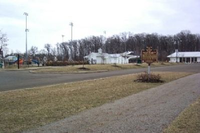
New Albany, Ohio, in Franklin County. Marker is on Swickard Woods Boulevard, on the right when traveling east. Marker is in parking area 100 feet SW of water park in Swickard Woods Community Park, about 600 feet NNW of intersection of Swickard Woods Blvd and Fodor Road. Touch for map. Marker is in this post office area: New Albany OH 43054, United States of America. Touch for directions.
Other nearby markers. At least 8 other markers are within 3 miles of this marker, measured as the crow flies. George and Christina Ealy House and Land (approx. half a mile away); New Albany Branch Library (approx. half a mile away); The Sylvester Ranney House (approx. 0.7 miles away); Founders of New Albany (approx. 0.7 miles away); New Albany and Plain Township Veterans and First Responders Memorial (approx. 0.7 miles away); Wagnor Cemetery (approx. one mile away); Rocky Fork Metro Park (approx. 2.4 miles away); Mills of Plain Township (approx. 2.4 miles away). Touch for a list and map of all markers in New Albany.
Credits. This page was last revised on June 16, 2023. It was originally submitted on March 27, 2009, by William Fischer, Jr. of Scranton, Pennsylvania. This page has been viewed 1,075 times since then and 20 times this year. Photos: 1, 2, 3. submitted on March 27, 2009, by William Fischer, Jr. of Scranton, Pennsylvania. • Bill Pfingsten was the editor who published this page.


