West Columbia in Brazoria County, Texas — The American South (West South Central)
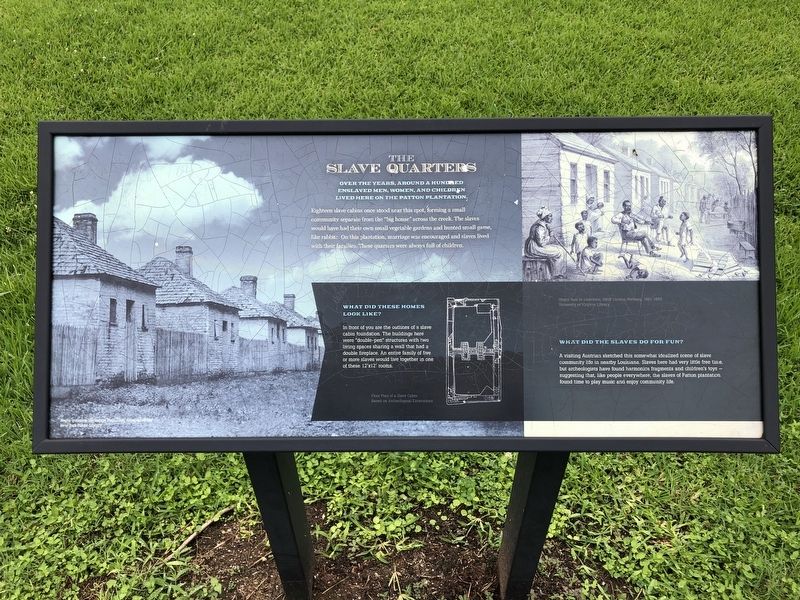
The Slave Quarters
Photographed by Chris Kneupper
1. The Slave Quarters Marker
Over the years, around a hundred enslaved men, women, and children lived here on the Patton plantation.
Eighteen slave cabins once stood near this spot, forming a small community separate from the "big house" across the creek. The slaves would have had their own small vegetable gardens and hunted small game, like rabbits. On this plantation, marriage was encouraged and slaves lived with their families. These quarters were always full of children.
What Did These Homes Look Like?
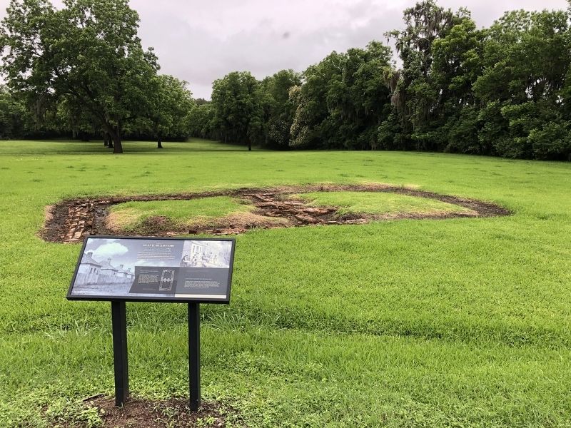
In front of you are the outlines of a slave cabin foundation. The buildings here were "double-pen" structures with two living spaces sharing a wall that had a double fireplace. An entire family of five or more slaves would live together in one of these 12' x 12" rooms.
What Did The Slaves Do For Fun?
A visiting Austrian sketched this somewhat idealized scene of slave community life in nearby Louisiana. Slaves here had very little free time, but archeologists have found harmonica fragments and children's toys - suggesting that, like people everywhere, the slaves of Patton plantation found time to play music and enjoy community life.
Topics. This historical
this page online
Location. 29° 9.908′ N, 95° 38.315′ W. Marker is in West Columbia, Texas, in Brazoria County. It is on North 13th Street east of Hogg Ranch Road, on the right when traveling west. The marker is at the Varner-Hogg Plantation State Historic Site. Touch for map. Marker is in this post office area: West Columbia TX 77486, United States of America. Touch for directions.

Regionally, this marker is in the Houston Metropolitan Area. It is also in the American South and on the Gulf Coast. Globally, it is in North America, a Gulf of Mexico state, the Western Hemisphere, the Western World, and the Anglosphere. Historically, it finds itself in what was once New Spain, the Republic of Texas, one of the Confederate States of America, and the Antebellum South.
Other nearby markers. At least 8 other markers are within 2 miles of this marker, measured as the crow flies: The Sugar Mill (about 400 feet away, measured in a direct line); Oil Field Row (approx. ¼ mile away);
Photographed by Chris Kneupper
2. The Slave Quarters Marker
Another marker is no longer nearby. The "Varner", 1835. (was approx. 0.2 miles away but has been confirmed missing).
Credits. This page was last revised on May 25, 2021. It was originally submitted on May 24, 2021, by Chris Kneupper of Brazoria, Texas. This page has been viewed 578 times since then and 34 times this year. Photos: 1, 2. submitted on May 24, 2021, by Chris Kneupper of Brazoria, Texas. • J. Makali Bruton was the editor who published this page.
