Salt Industry
Prehistory
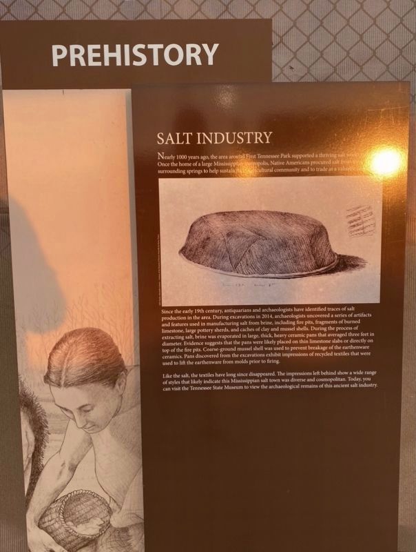
Nearly 1000 years ago, the area around First Tennessee Park supported a thriving salt works site. Once the home of a large Mississippian metropolis, Native Americans procured salt from surrounding springs to help sustain their cultural community and to trade as a valuable resource.
Since the early 19th century, antiquarians and archaeologists have identified traces of salt production in the area. During excavations in 2014, archaeologists uncovered a series of artifacts and features used in manufacturing salt from brine, including fire pits, fragments of burned limestone, large pottery sherds, and caches of clay and mussel shells. During the process of extracting salt, brine was evaporated in large, thick, heavy ceramic pans that averaged three feet in diameter. Evidence suggests that the pans were likely placed on thin limestone slabs or directly on top of the fire pits. Coarse-ground mussel shell was used to prevent breakage of the earthenware ceramics. Pans discovered from the excavations exhibit impressions of recycled textiles that were used to lift the earthenware from molds prior to firing.
Like the salt,
this page online
Topics. This historical marker is listed in these topic lists: Anthropology & Archaeology • Indigenous Peoples and Communities • Industry & Commerce • Natural Resources.
Location. 36° 10.351′ N, 86° 47.029′ W. Marker is in Nashville, Tennessee, in Davidson County. It is in North Capitol. It can be reached from 4th Avenue North 0.1 miles north of Harrison Street, on the right when traveling north. Touch for map. Marker is at or near this postal address: 916 4th Ave N, Nashville TN 37219, United States of America. Touch for directions.

Regionally, this marker is in Middle Tennessee. It is also in the American South and specifically in the Upper South. Globally, it is in North America, the Western Hemisphere, the Western World, and the Anglosphere. Historically, it finds itself
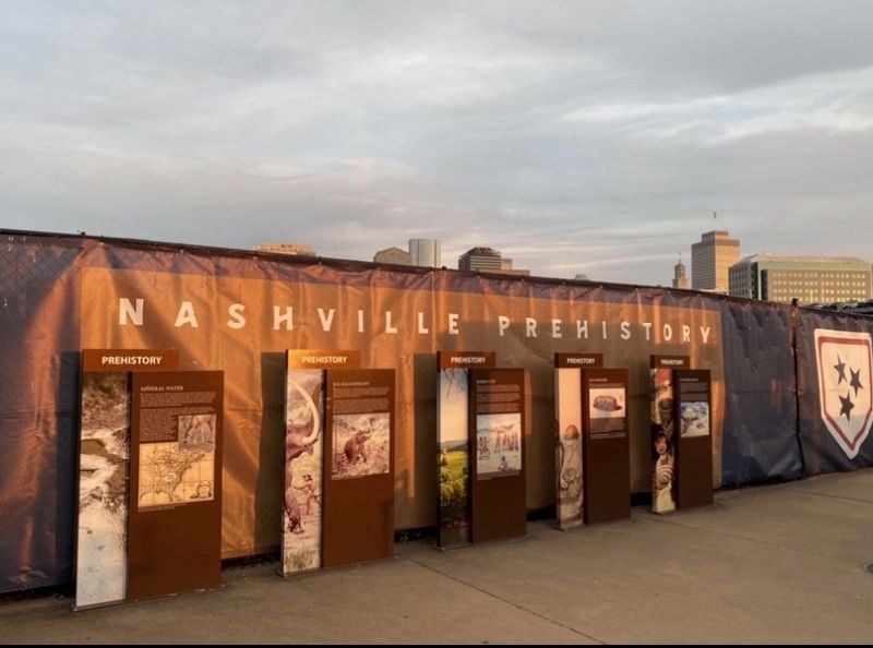
Other nearby markers. At least 8 other markers are within walking distance of this marker: Platform Mound (here, next to this marker); Mineral Water (here, next to this marker); Buried City (here, next to this marker); Ice Age Elephant (here, next to this marker); Suffrage Day (about 300 feet away, measured in a direct line); End of an Era (about 400 feet away); Baseball Returns (about 400 feet away); The Nashville Vols (about 400 feet away). Touch for a list and map of all markers in Nashville.
Another marker is no longer nearby. Sulphur Dell (was about 300 feet away but has been permanently removed).
Credits. This page was last revised on February 7, 2023. It was originally submitted on May 24, 2021, by Darren Jefferson Clay of Duluth, Georgia. This page has been viewed 725 times since then and 59 times this year. Photos: 1, 2. submitted on May 24, 2021, by Darren Jefferson Clay of Duluth, Georgia. • Devry Becker Jones was the editor who published this page.
