North Capitol in Nashville in Davidson County, Tennessee — The American South (East South Central)
Platform Mound
Prehistory
Photographed by Darren Jefferson Clay, May 22, 2021
1. Platform Mound Marker
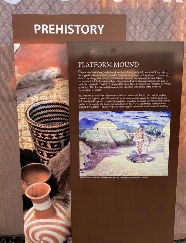
On the west bank of the Cumberland River, beneath the nearby Jefferson Street Bridge, a large, flat-topped earthen mound once stood as the platform that supported significant ceremonial and domestic buildings associated with the Mississippian town that existed in the area. When antiquarian Ralph Earl, a renowned portrait painter and friend of Andrew Jackson who lived in Nashville between 1817 and 1827, excavated the site in 1821, the mound was 10 feet tall by 30 yards in diameter. Earl detected multiple construction periods in the building of the mound by Mississippian architects.
By the end of the Civil War, little evidence of the mound existed. The dirt that once formed the structure was displaced, possibly used as fill for the area's lowland terrain. In 1992, however, the Jefferson Street Bridge was replaced. Archaeologists unearthed a building that may have at one time existed on the summit of a mound that predates Earl’s discovery. Large ramped post poles were excavated with caches of dedicatory pots used for religious ceremonies at the base of the building.
Topics. This historical marker is listed in these
this page online
Location. 36° 10.351′ N, 86° 47.028′ W. Marker is in Nashville, Tennessee, in Davidson County. It is in North Capitol. It can be reached from 4th Avenue North 0.1 miles north of Harrison Street, on the right when traveling north. Touch for map. Marker is at or near this postal address: 916 4th Ave N, Nashville TN 37219, United States of America. Touch for directions.

Regionally, this marker is in Middle Tennessee. It is also in the American South and specifically in the Upper South. Globally, it is in North America, the Western Hemisphere, the Western World, and the Anglosphere. Historically, it finds itself in what was once the territory of the Mississippian Culture, one of the Confederate States of America, and the Antebellum South.
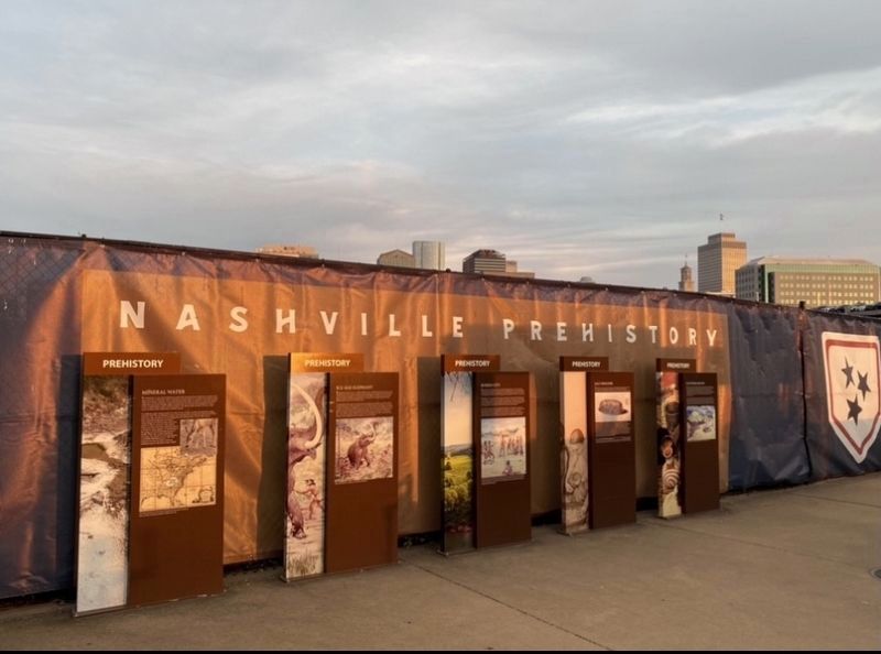
Other nearby markers. At least 8 other markers are within walking distance of this marker: Salt Industry (here, next to this marker); Buried City (here, next to this marker); Mineral Water (here, next to this marker); Ice Age Elephant
Photographed by Darren Jefferson Clay, May 22, 2021
2. Platform Mound Marker
Another marker is no longer nearby. Sulphur Dell (was about 300 feet away but has been permanently removed).
Credits. This page was last revised on February 7, 2023. It was originally submitted on May 24, 2021, by Darren Jefferson Clay of Duluth, Georgia. This page has been viewed 439 times since then and 21 times this year. Photos: 1, 2. submitted on May 24, 2021, by Darren Jefferson Clay of Duluth, Georgia. • Devry Becker Jones was the editor who published this page.
