Ormond On the Bay in Volusia County, Florida — The American South (South Atlantic)
Dummitt Plantation Mill Ruins
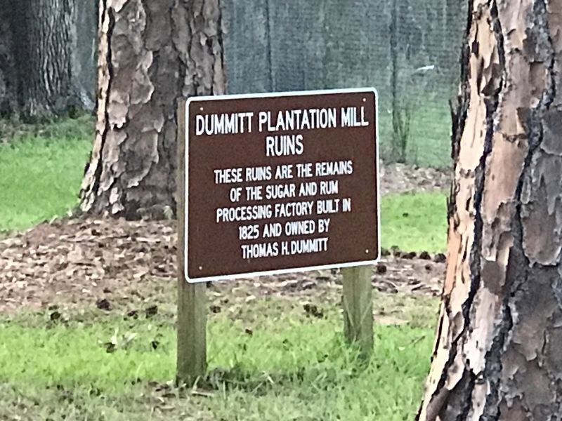
Photographed by Duane and Tracy Marsteller, May 15, 2021
1. Dummitt Plantation Mill Ruins Marker
of the sugar and rum
processing factory built in
1825 and owned by
Thomas H. Dummitt
Topics. This historical marker is listed in these topic lists: Agriculture • Industry & Commerce. A significant historical year for this entry is 1825.
Location. 29° 21.295′ N, 81° 6.407′ W. Marker is in Ormond On the Bay, Florida, in Volusia County. It is on Old Dixie Highway 0.9 miles east of Plantation Oaks Boulevard, on the left when traveling east. Touch for map. Marker is in this post office area: Ormond Beach FL 32174, United States of America. Touch for directions.

Regionally, this marker is in First Coast. It is also in the American South and on the Eastern Seaboard. Globally, it is in the North Atlantic Region, North America, a Gulf of Mexico state, the Western Hemisphere, the Western World, and the Anglosphere. Historically, it finds itself in what was once New Spain, the territory of the Mississippian Culture, one of the Confederate States of America, and the Antebellum South.
Other nearby markers. At least 8 other markers are within 5 miles of this marker, measured as the
this page online
More about this marker. The marker misspells the builder/owner's name. He was Thomas H. Dummett.
Also see . . . The Dummett Plantation, The McRae Plantation, and The Addison Blockhouse. Overview by the Ormond Beach Historical Society. (Submitted on May 24, 2021, by Duane and Tracy Marsteller of Murfreesboro, Tennessee.)
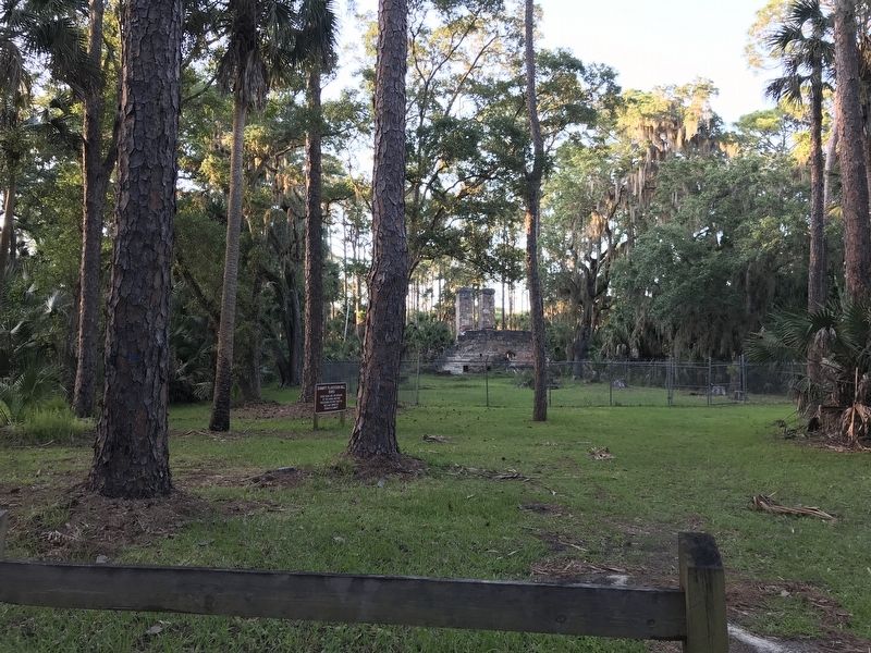
Photographed by Duane and Tracy Marsteller, May 15, 2021
2. Dummitt Plantation Mill Ruins Marker
Credits. This page was last revised on May 24, 2021. It was originally submitted on May 24, 2021, by Duane and Tracy Marsteller of Murfreesboro, Tennessee. This page has been viewed 799 times since then and 60 times this year. Photos: 1, 2. submitted on May 24, 2021, by Duane and Tracy Marsteller of Murfreesboro, Tennessee.
