Surfside Beach in Brazoria County, Texas — The American South (West South Central)
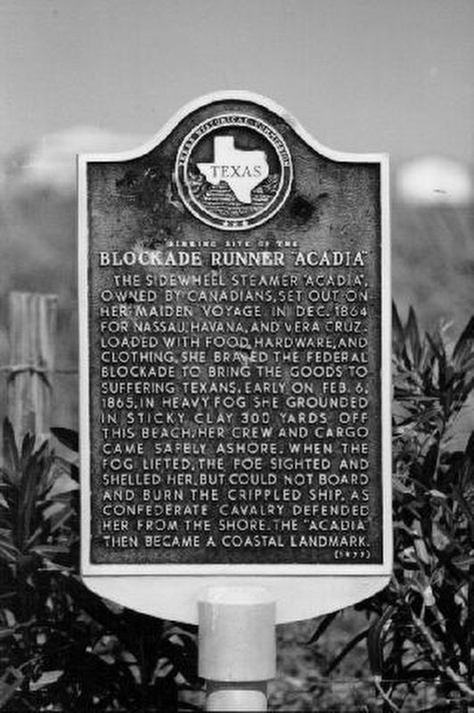
Sinking Site of the Blockade Runner "Acadia"
The sidewheel steamer "Acadia", owned by Canadians, set out on her maiden voyage in Dec. 1864 for Nassau, Havana, and Vera Cruz. Loaded with food, hardware, and clothing, she braved the Federal blockade to bring the goods to suffering Texans. Early on Feb. 6, 1865, in heavy fog she grounded in sticky clay 300 yards off this beach. Her crew and cargo came safely ashore. When the fog lifted, the foe sighted and shelled her, but could not board and burn the crippled ship, as Confederate cavalry defended her from the shore. The "Acadia" then became a coastal landmark.
Erected 1977 by Texas Historical Commission. (Marker Number 9517.)
Topics. This historical marker is listed in these topic lists: War, US Civil • Waterways & Vessels. A significant historical year for this entry is 1865.
Location. Marker has been reported missing. It was located near 28° 57.062′ N, 95° 17.165′ W. Marker was in Surfside Beach, Texas, in Brazoria County. Marker could be reached from State Highway 332, 0.1 miles County Highway 257. Touch for map. Marker was in this post office area: Freeport TX 77541, United States of America. Touch for directions.
Other nearby markers. At least 8 other markers are within one mile of this location, measured as the crow flies. Gulf Intracoastal Waterway (a few steps from this marker); Old Velasco, CSA (within shouting distance of this marker); Velasco (within shouting distance of this marker); Historical Jetties (within shouting distance of this marker); The Lively (approx. one mile away); Battle of Velasco Memorial (approx. one mile away); The San Felipe Incident (approx. 1.1 miles away); Republic of Texas Battery (approx. 1.1 miles away). Touch for a list and map of all markers in Surfside Beach.
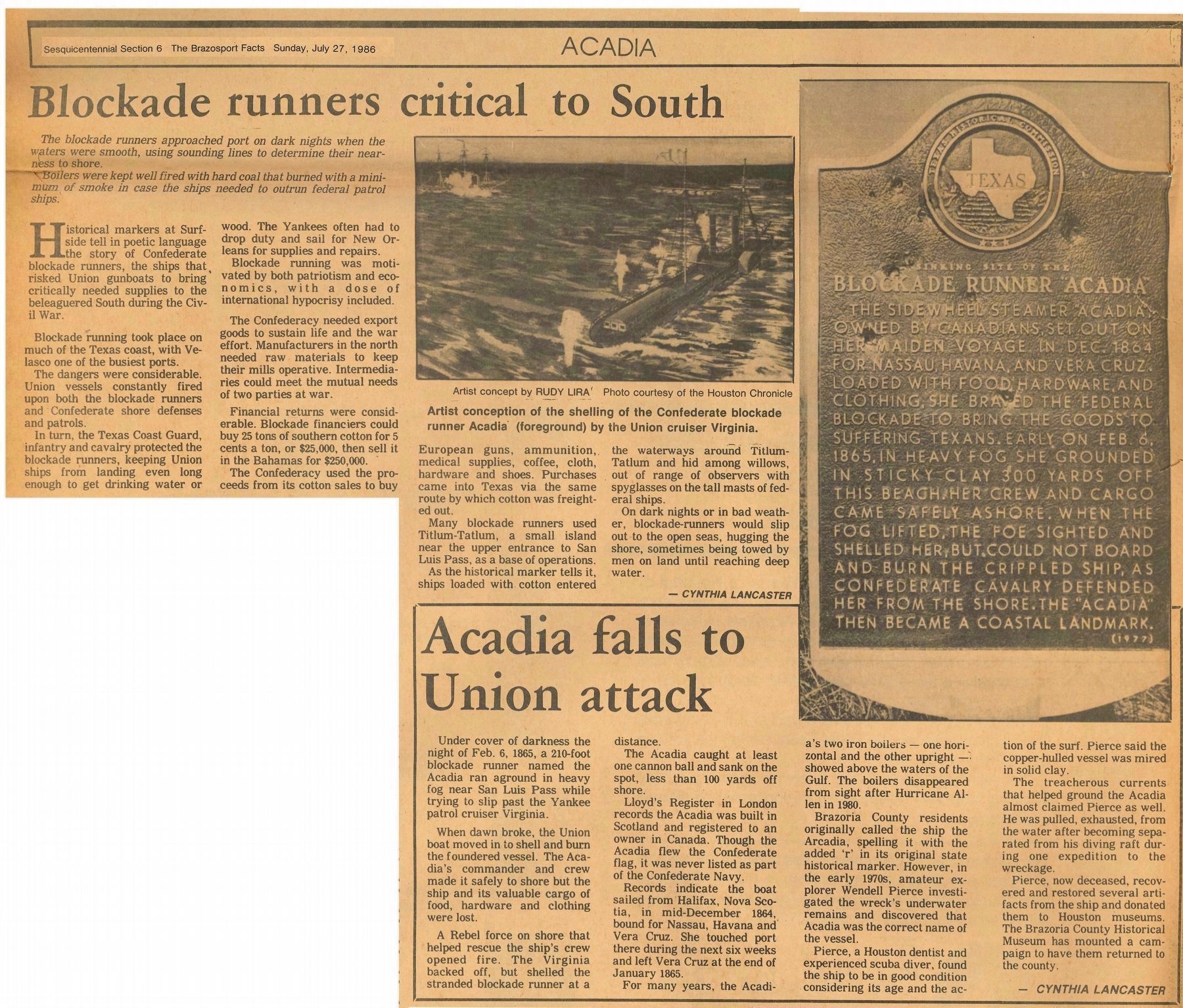
Regarding Sinking Site of the Blockade Runner "Acadia". This marker was located about 0.1 miles southeast of the intersection of State Highway 332 and the Bluewater Highway (also known as County Road 257 or Fort Velasco Drive). It was reported in the Texas Historical Commission (THC) Atlas as being right next to several other markers (Velasco, Old Velasco CSA, Gulf Intracoastal Waterway), but it is not there as of May-2021, and has apparently been absent for some years. Curiously, the location reported in the THC Atlas for this marker is not really near the sinking site of the Acadia. The actual location is about 9 miles northeast, directly up the coast toward San Luis Pass, and was reported to
be about 4 miles short of that pass. The wreck of the Acadia showed above the waves just offshore of the beach for over 100 years (until the early 1980's, perhaps due to Hurricane Alicia in 1983), and was a landmark known locally as "The Boilers". The last surviving piece above the waves was the short mast that once held the crow's nest. The wreck was the subject of an extended marine archaeology study in the early 1970's by Houston dentist/diver/avocational archaeologist Dr. Wendell Pierce, and was published as "The Acadia - A Civil War Blockade Runner" by Frank Hole, Rice University, Dept. of Anthropology, Technical Report Number One, Aug-1974. The recovered artifacts have been archived at the Brazoria County Historical Museum. More recently, the book "In Search of the Acadia - A Civil War Blockade Runner" (2019, by Eileen M. Benitz Wagner) has summarized the available facts about the vessel.
Related markers. Click here for a list of markers that are related to this marker. Photos on the HMdb pages for these nearby markers reveal the absence of this featured marker.
Credits. This page was last revised on September 8, 2021. It was originally submitted on May 26, 2021, by Chris Kneupper of Brazoria, Texas. This page has been viewed 644 times since then and 88 times this year. Last updated on September 8, 2021, by Chris Kneupper of Brazoria, Texas. Photos: 1, 2. submitted on May 26, 2021, by Chris Kneupper of Brazoria, Texas. • J. Makali Bruton was the editor who published this page.

