Grenada in Grenada County, Mississippi — The American South (East South Central)
Grenada
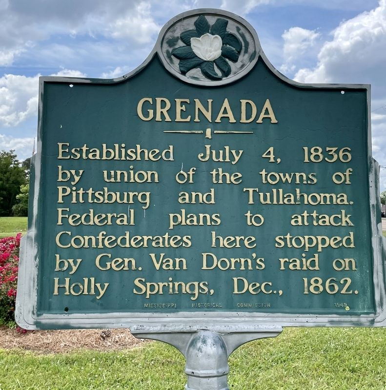
Photographed by Mark Hilton, May 23, 2021
1. Grenada Marker
Erected 1949 by Mississippi Historical Commission.
Topics and series. This historical marker is listed in these topic lists: Settlements & Settlers • War, US Civil. In addition, it is included in the Mississippi State Historical Marker Program series list. A significant historical date for this entry is July 4, 1836.
Location. 33° 46.156′ N, 89° 48.523′ W. Marker is in Grenada, Mississippi, in Grenada County. It is at the intersection of Dr Martin Luther King Jr Boulevard and Sunset Drive (State Route 8), on the right when traveling north on Dr Martin Luther King Jr Boulevard. Touch for map. Marker is at or near this postal address: Dr Martin Luther King Jr Blvd, Grenada MS 38901, United States of America. Touch for directions.

Regionally, this marker is in Central Mississippi. It is also in the American South, specifically in the Deep South, and in the Mississippi Delta. Globally, it is in North America, a Gulf of Mexico state, the
this page online
Other nearby markers. At least 8 other markers are within 2 miles of this marker, measured as the crow flies: Odd Fellows/Confederate Cemetery (approx. 0.3 miles away); Edward C. Walthall (approx. 0.7 miles away); Grenada Fort (approx. 0.8 miles away); Grenada Depot (approx. 1.1 miles away); Magic Slim (approx. 1.1 miles away); J. Augustine Signaigo (approx. 1.1 miles away); a different marker also named J. Augustine Signaigo (approx. 1.1 miles away); Grenada Blues (approx. 1.1 miles away). Touch for a list and map of all markers in Grenada.
Another marker is no longer nearby. Grenada County Confederate Monument (was approx. 1.1 miles away but has been permanently removed).
Also see . . . History of Grenada from Wikipedia. (Submitted on May 26, 2021, by Mark Hilton of Montgomery, Alabama.)
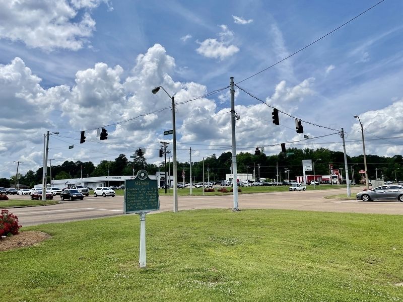
Photographed by Mark Hilton, May 23, 2021
2. Intersection of Sunset Dr and Commerce St.
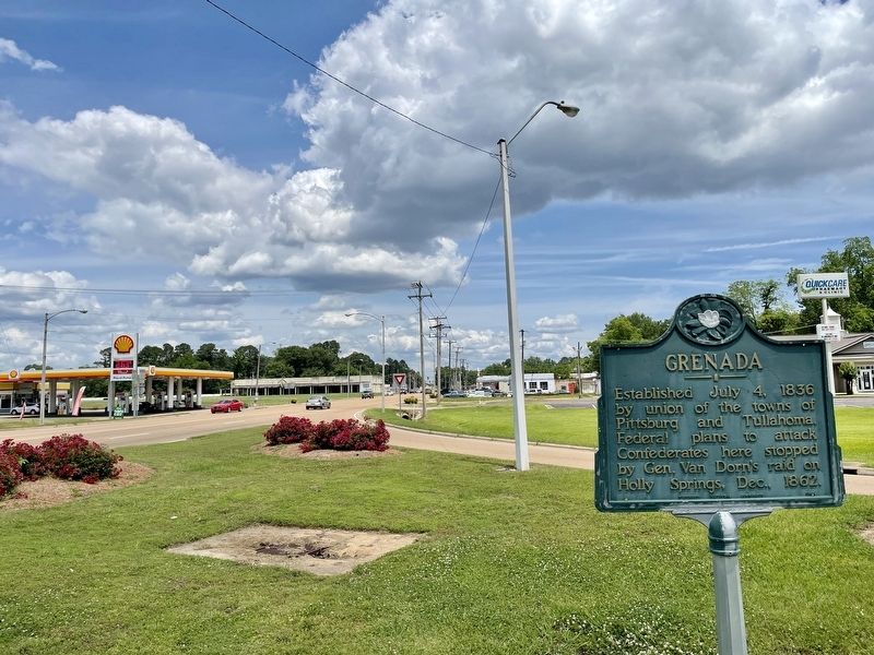
Photographed by Mark Hilton, May 23, 2021
3. View north on Dr Martin Luther King Jr Blvd.
Credits. This page was last revised on May 27, 2021. It was originally submitted on May 26, 2021, by Mark Hilton of Montgomery, Alabama. This page has been viewed 302 times since then and 19 times this year. Last updated on May 26, 2021, by Bradley Owen of Morgantown, West Virginia. Photos: 1, 2, 3. submitted on May 26, 2021, by Mark Hilton of Montgomery, Alabama.
