El Oro de Hidalgo, Mexico State, Mexico — The Central Highlands (North America)
First Chapel in Real de El Oro
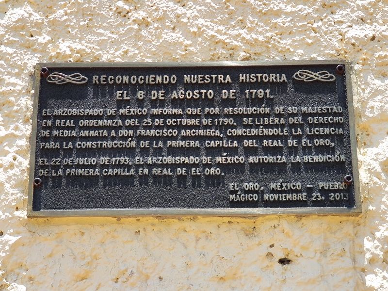
Reconociendo nuestra historia
⎯⎯⎯
Recognizing our history
Photographed by J. Makali Bruton, May 16, 2021
1. First Chapel in Real de El Oro Marker

El Arzobispado de México informa que por resolución de su Majestad en Real Ordenanza del 25 de octubre de 1790, se libera del derecho de media annata a Don Francisco Arciniega, concediéndole la licencia para la construccion de la primera capilla del Real de El Oro, el 22 de julio de 1793, El Arzobispado de Mexico autoriza la bendición de la primera capilla en Real de El Oro.
El Oro, México – Pueblo Mágico
noviembre 23, 2013
August 6, 1791.
The Archbishop of Mexico informs that, by his Majesty's resolution in the Royal Ordinance of October 25, 1790, Francisco Arciniega was freed from the right of half of the tax paid to take a position in the church, granting him a license to build the first chapel of Real de El Oro. On July 22, 1793, the Archbishop of Mexico authorizes the blessing of the first chapel in Real de El Oro.
El Oro, Mexico – Pueblo Mágico
November 23, 2013
Erected 2013.
Topics. This historical marker is listed in these topic lists: Colonial Era • Religion & Religious Structures. A significant historical date for this entry is July 22, 1793.
Location. 19° 47.953′ N, 100° 7.825′ W.
this page online

Regionally, this marker is in Central Mexico and specifically in Mexico City Metropolitan Area. Globally, it is in North America, specifically in Mesoamerica, on the Ring of Fire, and in the Western Hemisphere. Historically, it finds itself in what was once New Spain, a Spanish colony, and the Aztec Empire.
Other nearby markers. At least 8 other markers are within walking distance of this marker: The Vicarage of El Oro (a few steps from this marker); Abraham Angel (about 150 meters away, measured in a direct line); Viceroy Antonio de Mendoza in El Oro (about 150 meters away); El Oro Town Plaza (about 150 meters away); El Oro Mexico (about 150 meters away); Bicentennial Tree (about 150 meters away); The Revolutionary and Labor Movement in El Oro (about 210 meters away); El Oro Club (about 210 meters away). Touch for a list and map of all markers
Photographed by J. Makali Bruton, May 16, 2021
2. First Chapel in Real de El Oro Marker
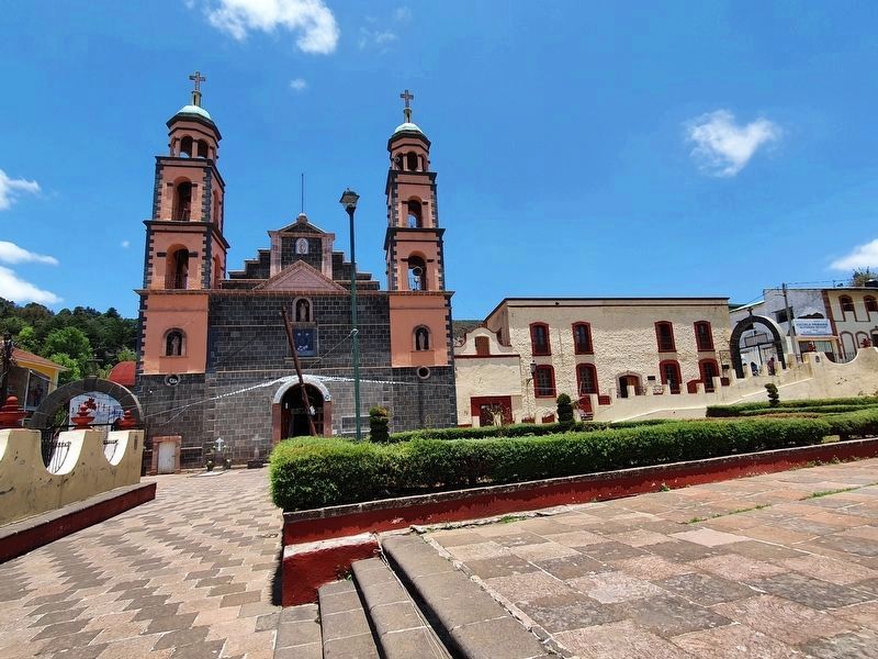
The marker can be seen to the right of the parish church of Santa María de Guadalupe.
Also see . . . Annates, the "tax paid to take a position in the church". (Submitted on May 26, 2021, by J. Makali Bruton of Washington, District of Columbia.)
Credits. This page was last revised on May 26, 2021. It was originally submitted on May 26, 2021, by J. Makali Bruton of Washington, District of Columbia. This page has been viewed 137 times since then and 10 times this year. Photos: 1, 2. submitted on May 26, 2021, by J. Makali Bruton of Washington, District of Columbia.
