Glendora in Tallahatchie County, Mississippi — The American South (East South Central)
River Site
Inscription.
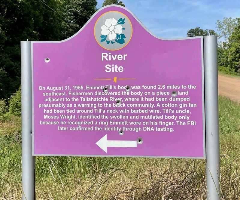
On August 31, 1955, Emmett Till's body was found 2.6 miles to the
southeast. Fishermen discovered the body on a piece of land
adjacent to the Tallahatchie River, where it had been dumped
presumably as a warning to the black community. A cotton gin fan
had been tied around Till's neck with barbed wire. Till's uncle,
Moses Wright, identified the swollen and mutilated body only
because he recognized a ring Emmett wore on his finger. The FBI
later confirmed the identity through DNA testing.
Erected 2008 by the State of Mississippi. (Marker Number 1.)
Topics. This historical marker is listed in these topic lists: African Americans • Civil Rights • Waterways & Vessels. A significant historical date for this entry is August 31, 1955.
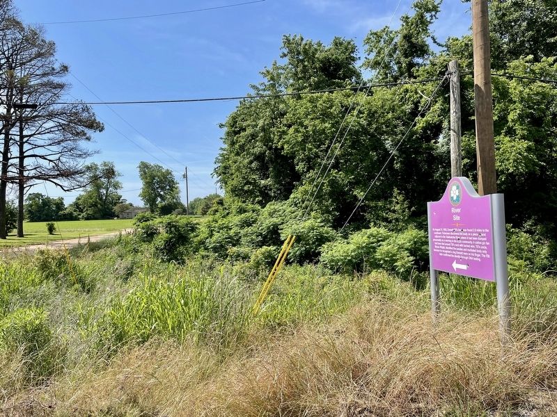
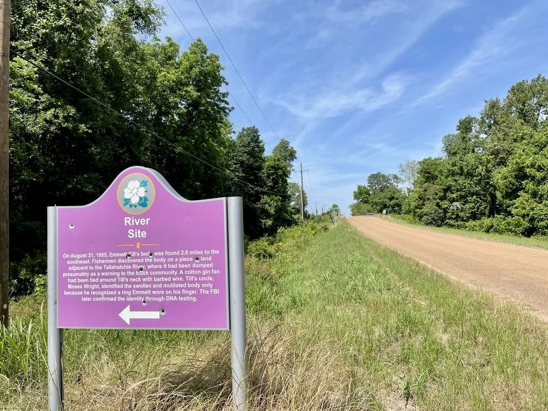
Location. 33° 51.651′ N, 90° 16.497′ W. Marker is in Glendora, Mississippi, in Tallahatchie County. Marker is at the intersection of Sharkey Road and River Road, on the right when traveling east on Sharkey Road. Touch for map. Marker is at or near this postal address: 1332 Sharkey Road, Glendora MS 38928, United States of America. Touch for directions.
Other nearby markers. At least 8 other markers are within 10 miles of this marker, measured as the crow flies. Clinton Melton (approx. 2.4 miles away); Sonny Boy Williamson (approx. 2.4 miles away); King's Place (approx. 2.4 miles away); Glendora Gin (approx. 2.4 miles away); Milam's House (approx. 2.4 miles away); Mose Allison (approx. 6½ miles away); Tallahatchie County (approx. 8½ miles away); Tallahatchie County Confederate Monument (approx. 9.3 miles away). Touch for a list and map of all markers in Glendora.
Related markers. Click here for a list of markers that are related to this marker.
Additional commentary.
1. Recovery of Emmett Till's body.
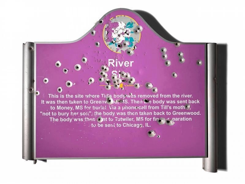
This marker notes the direction to where Emmett Till's body was recovered some 2.6 miles down River Rd. A marker similar to this one was placed there in 2008. That first marker was thrown in the river. The second and third markers were shot at and became riddled with bullet holes.
A new memorial at the recovery site, entitled "Graball Landing", was installed in 2019. The new 500-pound steel sign has a glass bulletproof front.
— Submitted May 27, 2021, by Mark Hilton of Montgomery, Alabama.

Photographed By PD Smithsonian
4. Older River Site Marker previously located further down River Rd.
Older version of the marker 2.6 miles south, riddled with bullet holes, that has now been placed at the Washington D.C.Smithsonian’s National Museum of American History in a temporary exhibit. This was the second of four placed at the river site and has 317 bullet punctures.
The marker was replaced with one made of steel, weighs more than 500 pounds, is over an inch thick, and according to the manufacturer is bulletproof.
Credits. This page was last revised on August 30, 2021. It was originally submitted on May 26, 2021, by Mark Hilton of Montgomery, Alabama. This page has been viewed 1,596 times since then and 145 times this year. Photos: 1, 2, 3. submitted on May 26, 2021, by Mark Hilton of Montgomery, Alabama. 4. submitted on August 30, 2021, by Mark Hilton of Montgomery, Alabama.


