Plains in Yoakum County, Texas — The American South (West South Central)
Quanah Parker Trail
Texas Plains Trail Region
Photographed by Allen Lowrey, May 24, 2021
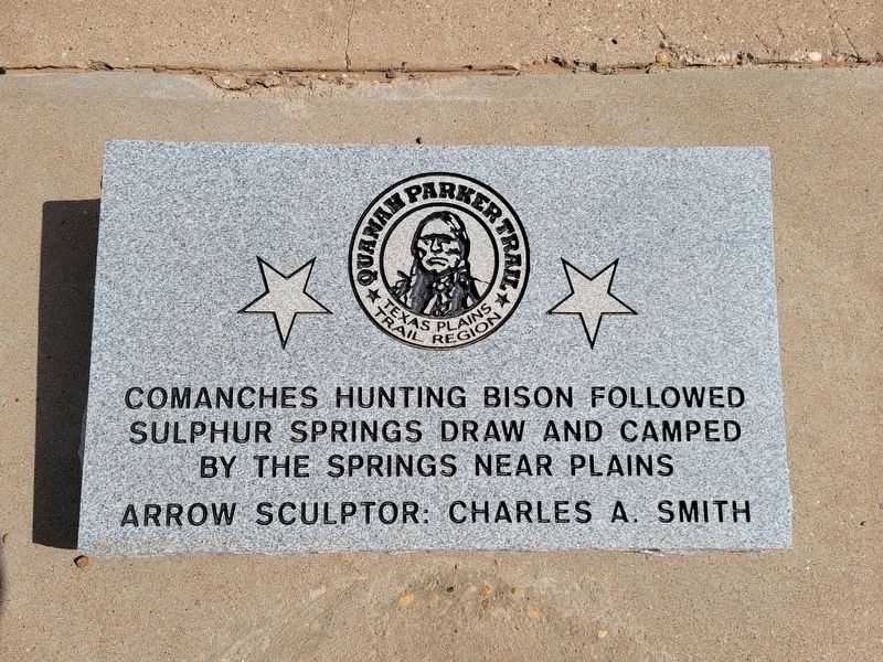
1. Quanah Parker Trail Marker
Comanches hunting bison followed Sulpher Springs draw and camped by the springs near Plains
Arrow sculptor: Charles A. Smith (Marker Number 34.)
Topics. This historical marker is listed in this topic list: Indigenous Peoples and Communities.
Location. 33° 11.331′ N, 102° 49.741′ W. Marker is in Plains, Texas, in Yoakum County. It is on Cowboy Way (U.S. 82/380) near Avenue F, on the right when traveling west. Touch for map. Marker is in this post office area: Plains TX 79355, United States of America. Touch for directions.

Regionally, this marker is on Texas’ South Plains. It is also on the American Great Plains and specifically on the Southern Plains. Globally, it is in North America, a Gulf of Mexico state, the Western Hemisphere, the Western World, and the Anglosphere. Historically, it finds itself in what was once New Spain, the Comanchería, the Republic of Texas, and one of the Confederate States of America.
Other nearby markers. At least 3 other markers are within 10 miles of this marker, measured as the crow flies: Yoakum County (within shouting
this page online
Photographed by Allen Lowrey, May 24, 2021
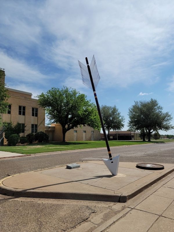
2. Quanah Parker Trail Marker
Photographed by Allen Lowrey, May 24, 2021
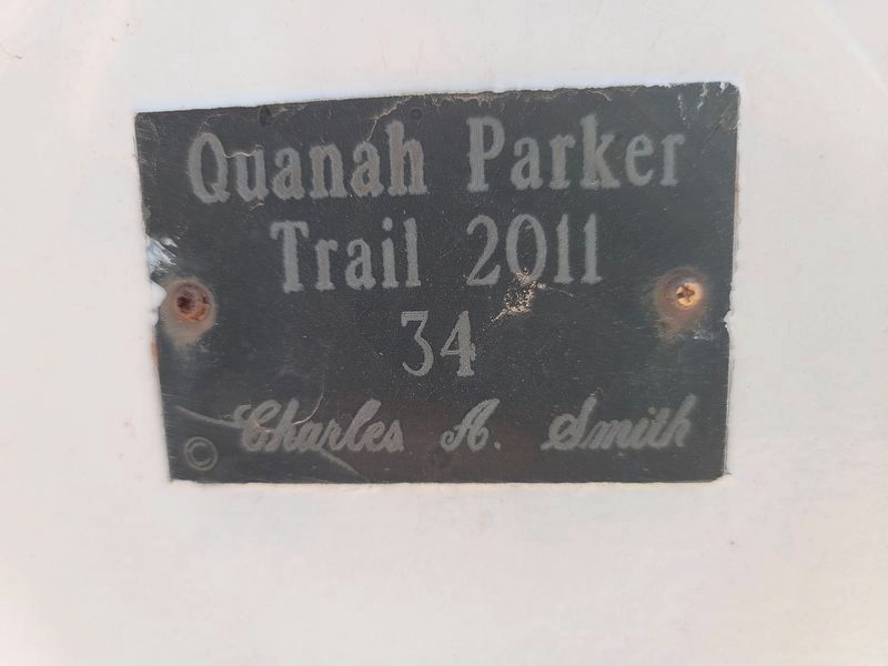
3. Quanah Parker Trail Marker 34
Credits. This page was last revised on May 28, 2021. It was originally submitted on May 27, 2021, by Allen Lowrey of Amarillo, Texas. This page has been viewed 534 times since then and 86 times this year. Photos: 1, 2, 3. submitted on May 27, 2021, by Allen Lowrey of Amarillo, Texas. • J. Makali Bruton was the editor who published this page.
