Jamestown in James City County, Virginia — The American South (Mid-Atlantic)
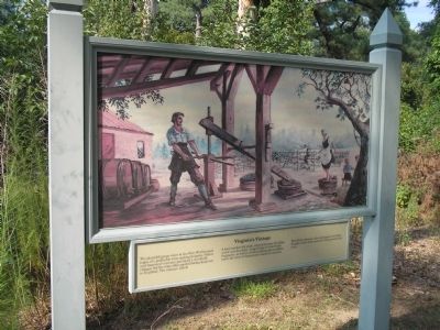
Virginia’s Vintage
A local market did exist, especially since drinking water was brackish. Large finds of wine bottle fragments, as well as several cooling pits or cellars, mark the sites of Jamestown stores or taverns.
Wealthier colonists also consumed wine from Europe, their stock marketed with personalized seals.
Erected by Colonial National Historic Park.
Topics. This historical marker is listed in this topic list: Colonial Era.
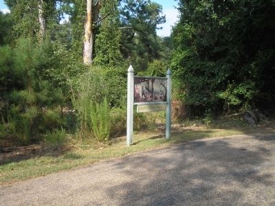
Location. 37° 12.072′ N, 76° 44.922′ W. Marker is in Jamestown, Virginia, in James City County. Marker is on Loop Drive, on the left when traveling east. Marker is on Jamestown Island, along the Loop Drive. Touch for map. Marker is in this post office area: Jamestown VA 23081, United States of America. Touch for directions.
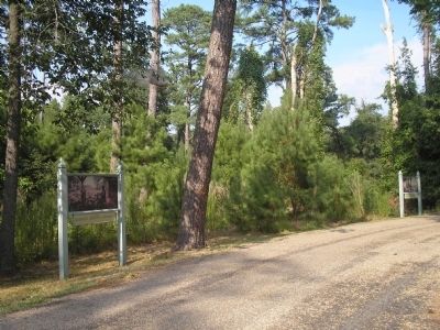
Other nearby markers. At least 8 other markers are within walking distance of this marker. Bowl, Pot, and Pipe (here, next to this marker); Silk Worn and Silk Spun (approx. 0.2 miles away); Early Medical Discoveries (approx. 0.4 miles away); The Golden Weed (approx. 0.4 miles away); The “Island House” (approx. 0.6 miles away); Iron for Corn (approx. 0.6 miles away); A Site of Habitation (approx. 0.6 miles away); Harvesting Ice (approx. 0.6 miles away). Touch for a list and map of all markers in Jamestown.
More about this marker. The top of the marker features a picture of a Jamestown man using a grape press near several casks, while a woman stomps grapes in the background.
Related markers. Click here for a list of markers that are related to this marker. Take a virtual tour of markers located along the Loop Drive on Jamestown Island.
Also see . . .
1. Island Loop Drive. Colonial National Historic Park from National Park Service website. (Submitted on March 27, 2009, by Bill Coughlin of Woodland Park, New Jersey.)
2. Historic Jamestowne. Historic Jamestowne is the site of the first permanent English settlement in America. The site is jointly administered by APVA Preservation Virginia and the National Park Service. (Submitted on March 27, 2009, by Bill Coughlin of Woodland Park, New Jersey.)
Credits. This page was last revised on June 16, 2016. It was originally submitted on March 27, 2009, by Bill Coughlin of Woodland Park, New Jersey. This page has been viewed 790 times since then and 12 times this year. Photos: 1, 2, 3. submitted on March 27, 2009, by Bill Coughlin of Woodland Park, New Jersey.


