Near Beulah in Bolivar County, Mississippi — The American South (East South Central)
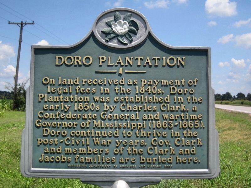
Doro Plantation
Inscription.
On land received as payment of
legal fees in the 1840s, Doro
Plantation was established in the
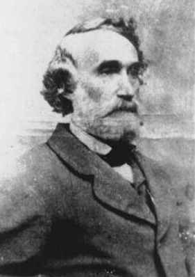
early 1850s by Charles Clark, a
Confederate General and wartime
Governor of Mississippi (1863-1865).
Doro continued to thrive in the
post-Civil War years. Gov. Clark
and members of the Clark and
Jacobs families are buried here.
Erected 2001 by Mississippi Department of Archives and History.
Topics. This historical marker is listed in these topic lists: Agriculture • War, US Civil.
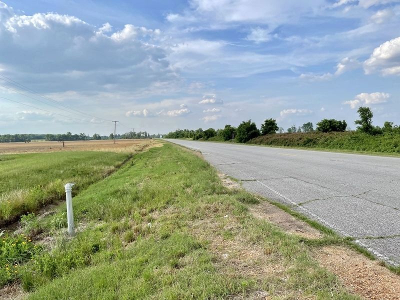
Location. Marker is missing. It was located near 33° 46.134′ N, 90° 58.86′ W. Marker was near Beulah, Mississippi, in Bolivar County. Marker could be reached from the intersection of Mississippi Route 1 and Clark Place, on the left when traveling north. Touch for map. Marker was in this post office area: Beulah MS 38726, United States of America. Touch for directions.
Other nearby markers. At least 8 other markers are within 9 miles of this location, measured as the crow flies. Christmas Mound (within shouting distance of this marker); Mildrette Netter (approx. 6 miles away); Hot Tamales and the Blues (approx. 6.4 miles away); Rosedale Courthouse (approx. 6˝ miles away); To Memorialize Bolivar County's First Two Brick Courthouses (approx. 6˝ miles away); Rosedale (approx. 6˝ miles away); Grace Episcopal Church (approx. 6.6 miles away); Eddie Shaw (approx. 8.3 miles away).
Also see . . . The Legend of Doro Plantation (includes photos of graves). (Submitted on May 27, 2021, by Mark Hilton of Montgomery, Alabama.)
Credits. This page was last revised on May 29, 2021. It was originally submitted on May 27, 2021, by Mark Hilton of Montgomery, Alabama. This page has been viewed 410 times since then and 91 times this year. Photos: 1, 2, 3. submitted on May 27, 2021, by Mark Hilton of Montgomery, Alabama.


