Parkers Crossroads in Henderson County, Tennessee — The American South (East South Central)
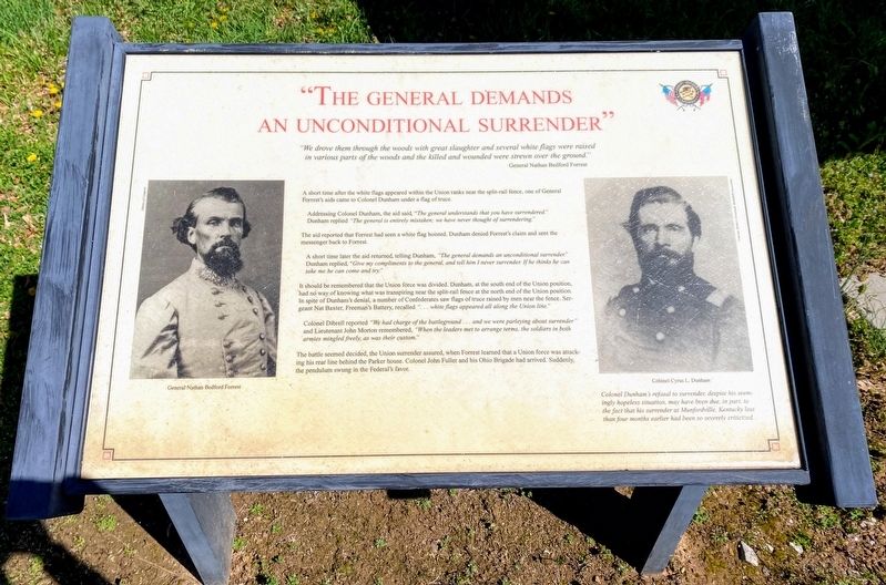
"The General Demands An Unconditional Surrender"
Inscription.
"We drove them through the woods with great slaughter and several white flags were raised in various parts of the woods and the killed and wounded were strewn over the ground."
General Nathan Bedford Forrest
A short time after the white flags appeared within the Union ranks near the split-rail fence, one of General Forrest's aids came to Colonel Dunham under a flag of truce.
Addressing Colonel Dunham, the aid said, "The general understands that you have surrendered." Dunham replied "The general is entirely mistaken; we have never thought of surrendering."
The aid reported that Forrest had seen a white flag hoisted. Dunham denied Forrest's claim and sent the messenger back to Forrest.
A short time later the aid returned, telling Dunham, "The general demands an unconditional surrender." Dunham replied, “Give my compliments to the general, and tell him I never surrender. If he thinks he can take me he can come and try."
It should be remembered that the Union force was divided. Dunham, at the south end of the Union position, had no way of knowing what was transpiring near the split-rail fence at the north end of the Union position. In spite of Dunham's denial, a number of Confederates saw flags of truce raised by men near the fence. Sergeant Nat Baxter, Freeman's Battery, recalled "... white flags appeared all along the Union line."
Colonel Dibrell reported "We had charge of the battleground...and we were parleying about surrender" and Lieutenant John Morton remembered, "When the leaders met to arrange terms, the soldiers in both armies mingled freely, as was their custom."
The battle seemed decided, the Union surrender assured, when Forrest learned that a Union force was attacking his rear line behind the Parker house. Colonel John Fuller and his Ohio Brigade had arrived. Suddenly, the pendulum swung in the Federal's favor.
(captions)
General Nathan Bedford Forrest
Colonel Cyrus L. Dunham
Colonel Dunham's refusal to surrender, despite his seemingly hopeless situation, may have been due, in part, to the fact that his surrender at Munfordville, Kentucky less than four months earlier had been so severely criticized.
Erected by Parker's Crossroads Battlefield Association.
Topics. This historical marker is listed in this topic list: War, US Civil. A significant historical date for this entry is December 31, 1862.
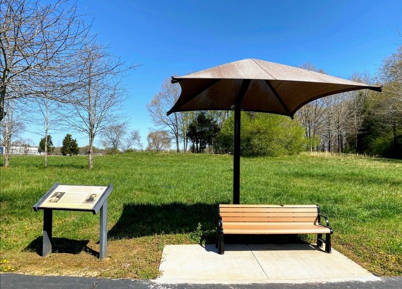
Location. 35° 47.232′ N, 88° 23.209′ W. Marker is in Parkers Crossroads, Tennessee, in Henderson County. Marker is on Federal Lane, 0.2 miles east of Tennessee Route 22, on the right when traveling east. Marker is located along the South Battlefield Trail, at Auto Tour Stop No. 7 of the Parker's Crossroads Battlefield Auto Tour. Touch for map. Marker is in this post office area: Wildersville TN 38388, United States of America. Touch for directions.
Other nearby markers. At least 8 other markers are within walking distance of this marker. Desperate Fighting (within shouting distance of this marker); Cyrus Livingston Dunham (within shouting distance of this marker); 18th Illinois Mounted Infantry (about 400 feet away, measured in a direct line); 50th Indiana Infantry Regiment (about 500 feet away); Union Cemetery (about 500 feet away); Freeman's Battery (about 500 feet away); Confederate Artillery Position (about 500 feet away); A Concealed Assault (about 500 feet away). Touch for a list and map of all markers in Parkers Crossroads.
Also see . . . Parker's Crossroads Battlefield Association. (Submitted on May 30, 2021.)
Credits. This page was last revised on May 30, 2021. It was originally submitted on May 28, 2021, by Shane Oliver of Richmond, Virginia. This page has been viewed 125 times since then and 13 times this year. Photos: 1, 2. submitted on May 28, 2021, by Shane Oliver of Richmond, Virginia. • Bernard Fisher was the editor who published this page.

