Parkers Crossroads in Henderson County, Tennessee — The American South (East South Central)
Dunham's Position
Attack on the Union Rear
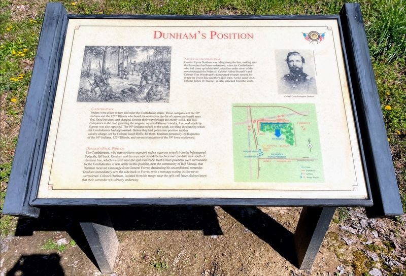
Colonel Cyrus Dunham was riding along the line, making sure that his orders had been understood, when the Confederates who had come up behind the Union line under cover of the woods charged the Federals. Colonel Alfred Russell's and Colonel Tom Woodward's dismounted troopers moved between the Union line and the wagon train. At the same time, Colonel James W. Starnes' cavalry attacked from the south.
Counterattack
Orders were given to turn and meet the Confederate attack. Those companies of the 50th Indiana and the 122nd Illinois who heard the order over the din of cannon and small arms fire, fixed bayonets and charged, forcing their way through the enemy's line. The two companies in the rear, guarding the wagons, repulsed Starnes' cavalry. A second attack by Starnes was also repulsed. The 50th Indiana moved to the south, covering the route by which the Confederates had approached. Before they had gotten into position another cavalry charge, led by Colonel Jacob Biffle, hit them. Dunham personally led fragments of the 50th Indiana, 122nd Illinois, and several companies of the 39th Iowa southward.
Dunham's Final Position
The Confederates, who may not have expected such a vigorous assault from the beleaguered Federals, fell back. Dunham and his men now found themselves over one-half mile south of the main line, which was still near the split-rail fence. Both Union positions were surrounded by the Confederates. It was while in this position, near the community of Red Mound, that Dunham received a message from General Forrest demanding his unconditional surrender. Dunham immediately sent the aide back to Forrest with a message stating that he never surrendered. Colonel Dunham, isolated from his troops near the split-rail fence, did not know that their surrender was already underway.
(caption)
Colonel Cyrus Livingston Dunham
Erected by Parker's Crossroads Battlefield Association.
Topics. This historical marker is listed in this topic list: War, US Civil. A significant historical date for this entry is December 31, 1862.
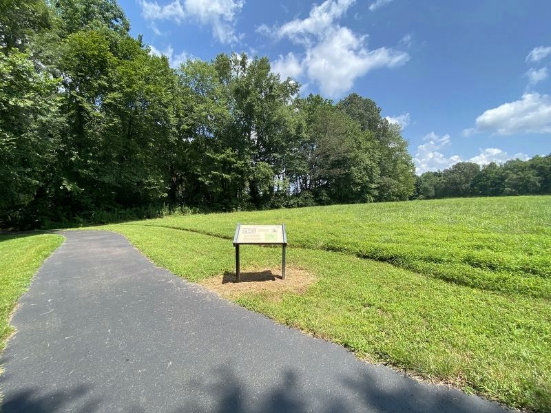
Location. 35° 47.125′ N, 88° 23.298′ W. Marker is in Parkers Crossroads, Tennessee, in Henderson County. Marker is on Federal Lane, 0.2 miles east of Tennessee Route 22, on the right when traveling east. Marker is located along the South Battlefield Trail, at Auto Tour Stop No. 7 of the Parker's Crossroads Battlefield Auto Tour. Touch for map. Marker is in this post office area: Wildersville TN 38388, United States of America. Touch for directions.
Other nearby markers. At least 8 other markers are within walking distance of this marker. Russell & Woodward's Advance (about 500 feet away, measured in a direct line); Confederate Artillery Position (about 500 feet away); Union Wagon Train (about 600 feet away); The Federal Forces (about 600 feet away); Cyrus Livingston Dunham (about 600 feet away); 7th Wisconsin Light Artillery (about 800 feet away); "The General Demands An Unconditional Surrender" (about 800 feet away); Forrest Averts Disaster (approx. 0.2 miles away). Touch for a list and map of all markers in Parkers Crossroads.
Also see . . . Parker's Crossroads Battlefield Association. (Submitted on June 3, 2021.)
Credits. This page was last revised on July 24, 2021. It was originally submitted on May 28, 2021, by Shane Oliver of Richmond, Virginia. This page has been viewed 101 times since then and 9 times this year. Photos: 1. submitted on May 28, 2021, by Shane Oliver of Richmond, Virginia. 2. submitted on July 24, 2021, by Darren Jefferson Clay of Duluth, Georgia. 3. submitted on May 28, 2021, by Shane Oliver of Richmond, Virginia. • Bernard Fisher was the editor who published this page.


